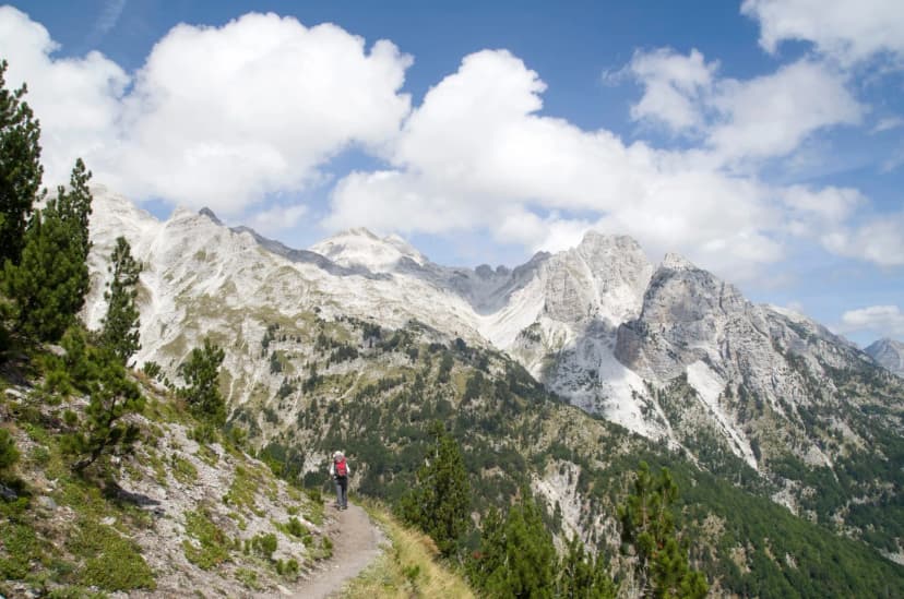
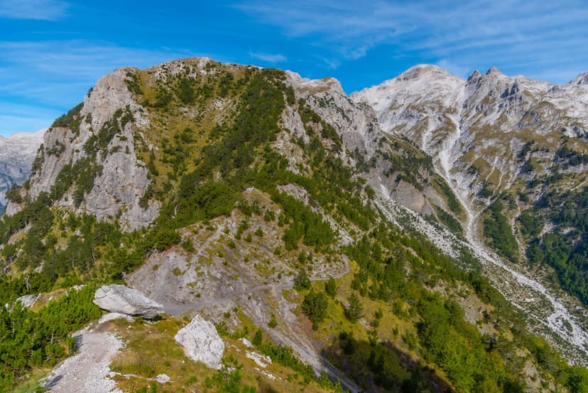
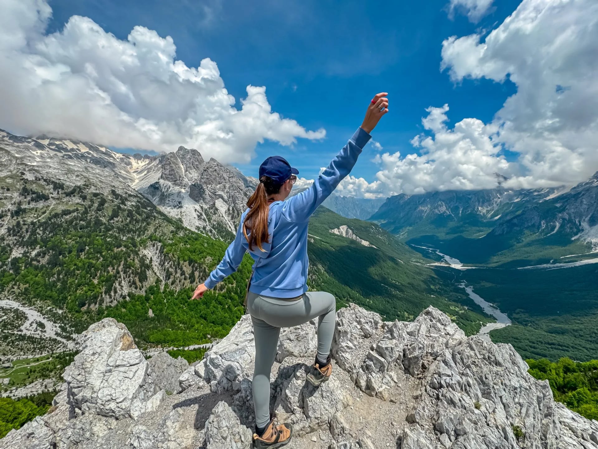
Peaks of the Balkans Trail: 10 Stages, 3 Countries, 1 Loop
All 10 official stages with distance and high point, how the three-country border permit works, the snow-free window and where you sleep each night.
Quick links
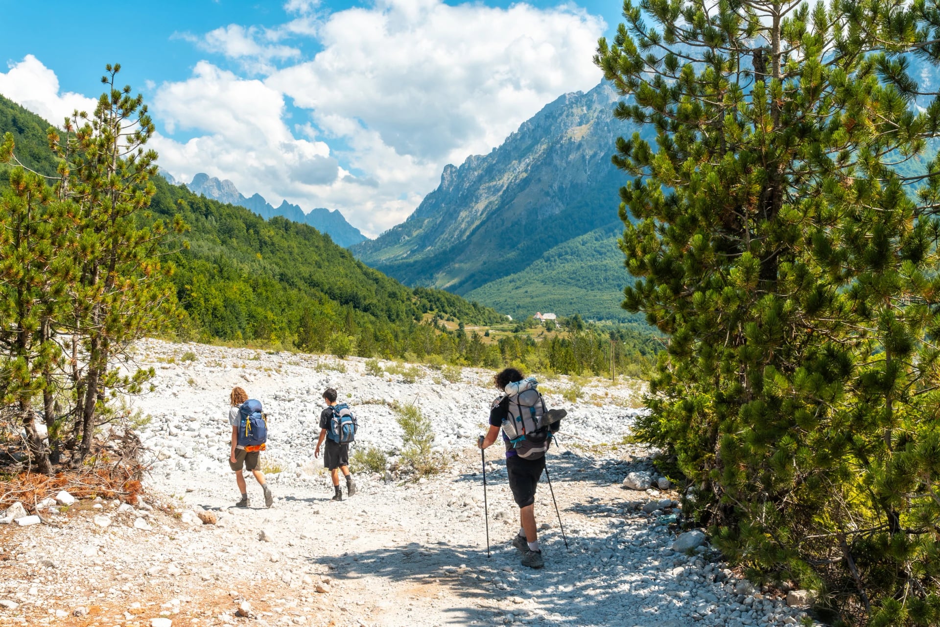
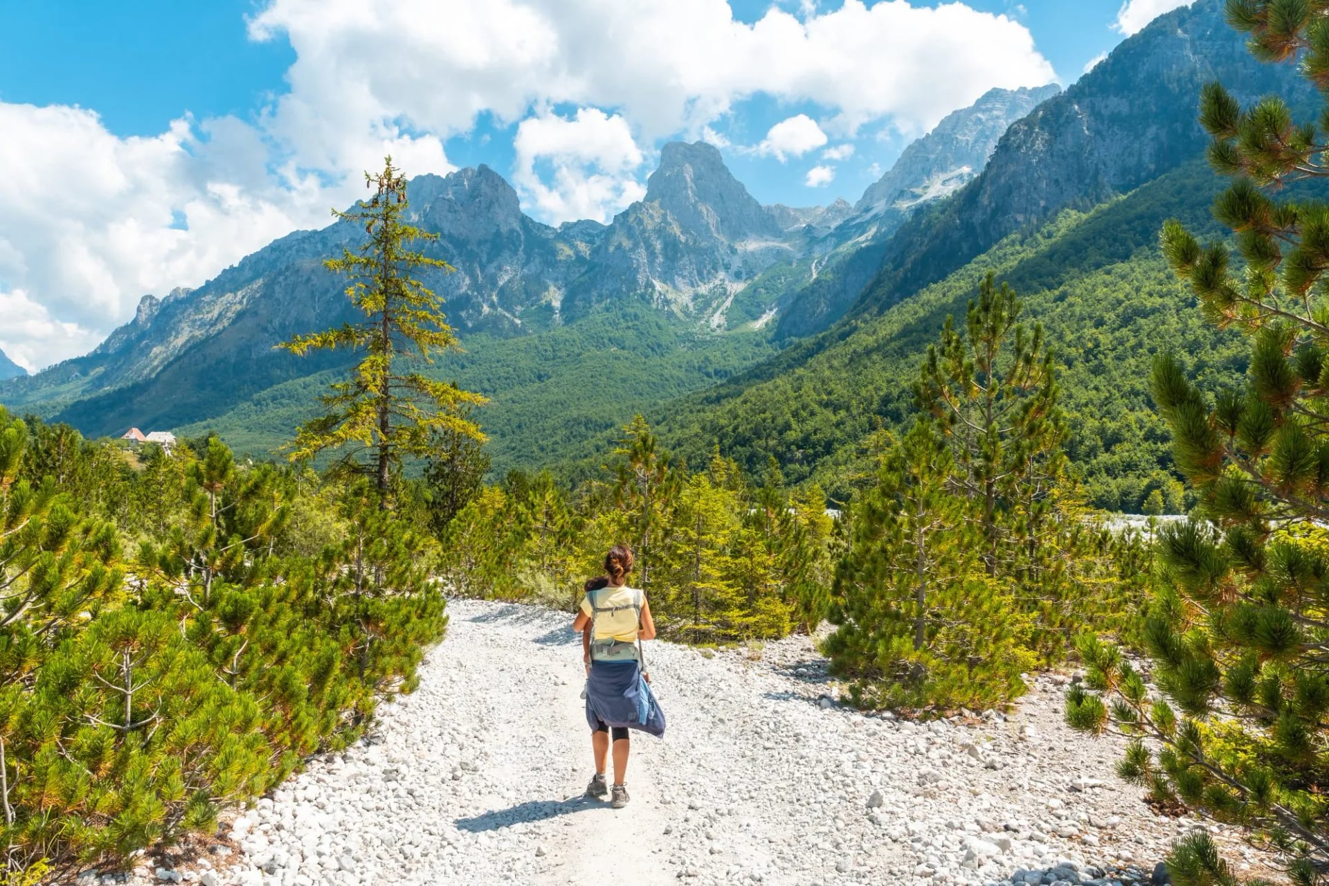
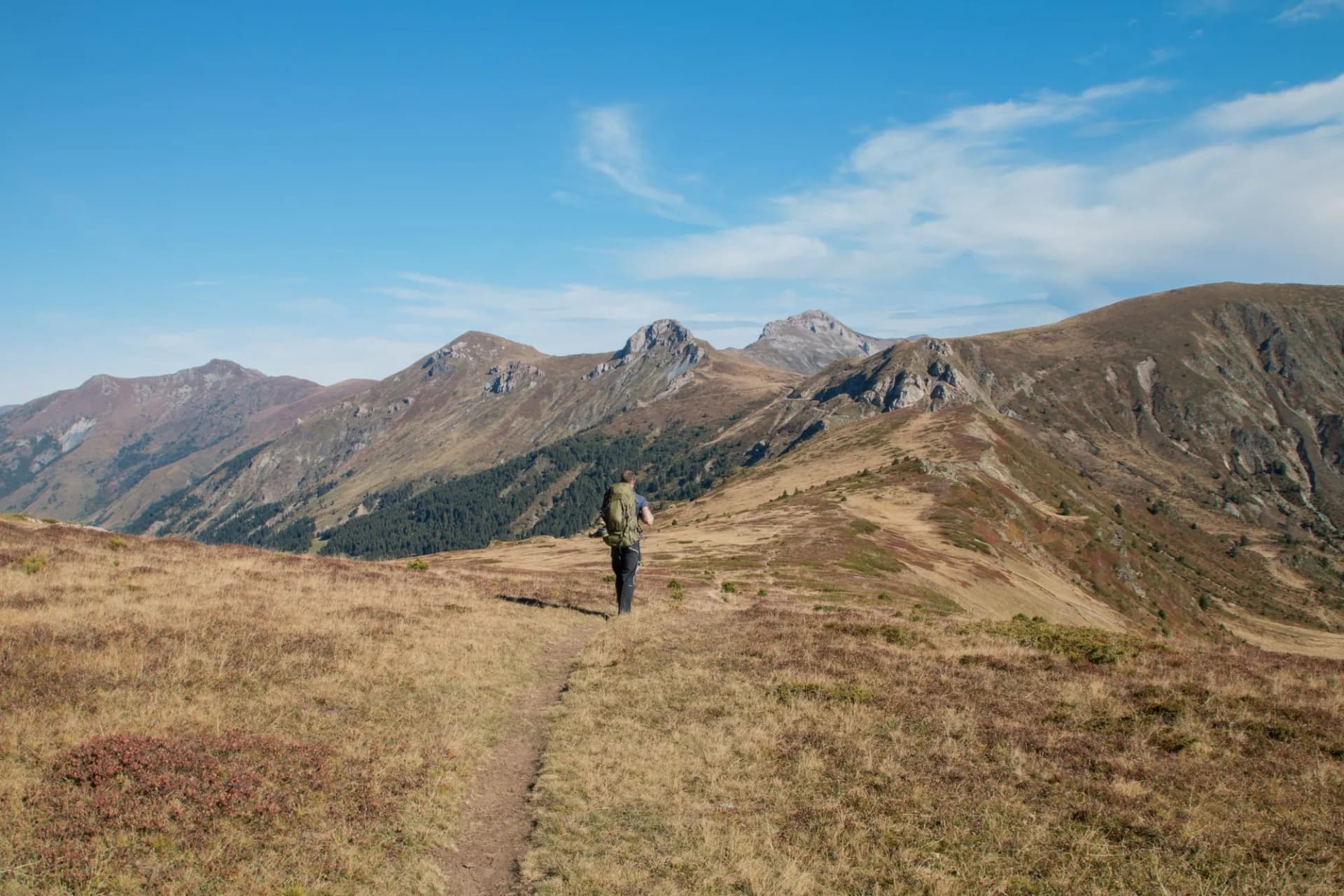
The Peaks of the Balkans Trail is a 192 km loop through the mountains where Albania, Kosovo and Montenegro meet. It links remote villages by old shepherds' paths, with a guesthouse at the end of most days. The trail is easier to walk than to plan, because it crosses three borders with no checkpoint on the path.
Below you'll find all 10 official stages in one table, the permit step by step, the season, how hard it is and where you sleep.
Map
What Is the Peaks of the Balkans Trail?
The official route runs 192 km in 10 stages, which most hikers walk in 10 to 13 days. Its highest point is 2,290 m, on the stage from Dobërdol to Milishevc, and expect roughly 10,000 m of climbing, as sources range from about 9,800 to 12,000 m.
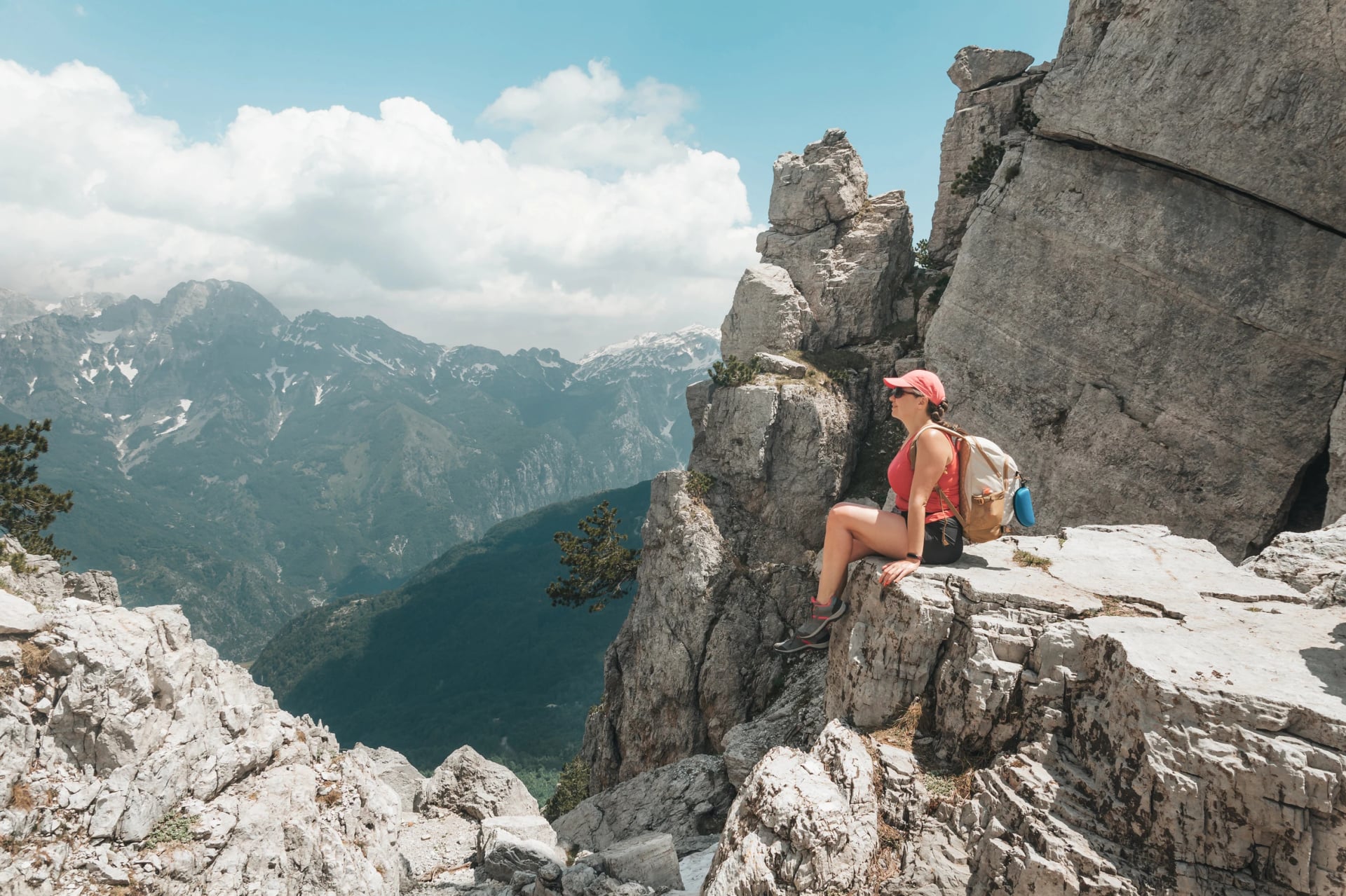
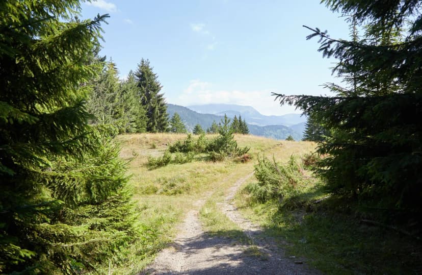
It's a loop, so you can start anywhere: most hikers begin in Theth in Albania, others in Plav in Montenegro or the Rugova valley in Kosovo. The trail is waymarked, with signposts at junctions, but the marks thin out in places, so carry an offline map and the stage notes.
The 10 Stages at a Glance
Stage | Route | Distance | High point | Country |
1 | Theth to Valbonë | 13.9 km | 1,795 m | Albania |
2 | Valbonë to Çerem | 19.8 km | Albania | |
3 | Çerem to Dobërdol | 15.6 km | 1,920 m | Albania |
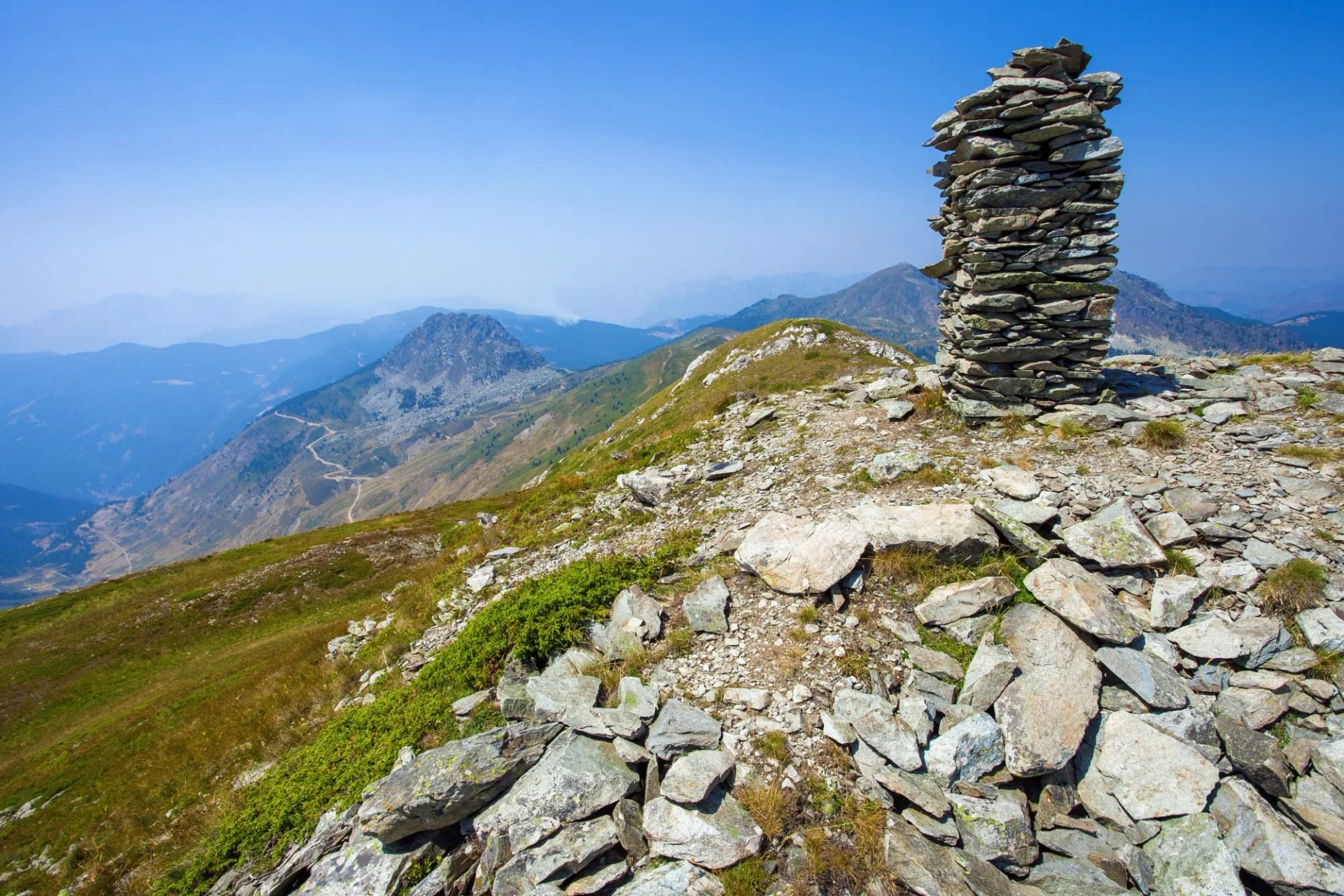
4 | Dobërdol to Milishevc | 18.2 km | 2,290 m | into Kosovo |
5 | Milishevc to Reka e Allagës | 16.2 km | 2,136 m | Kosovo |
6 | Reka e Allagës to Kuçishtë | 23.3 km | 1,820 m | Kosovo |
7 | Kuçishtë to Babino Polje | 15.8 km | 2,276 m | into Montenegro |
8 | Babino Polje to Plav | 20.3 km | 2,068 m | Montenegro |
9 | Plav to Vusanje | 27.4 km | 2,106 m | Montenegro |
10 | Vusanje to Theth | 21.4 km | 1,748 m | into Albania |
Figures are the official ones; guidebooks differ slightly because their start and end points differ.
The Stages Worth Knowing Before You Go
Stage 1: Theth to Valbonë
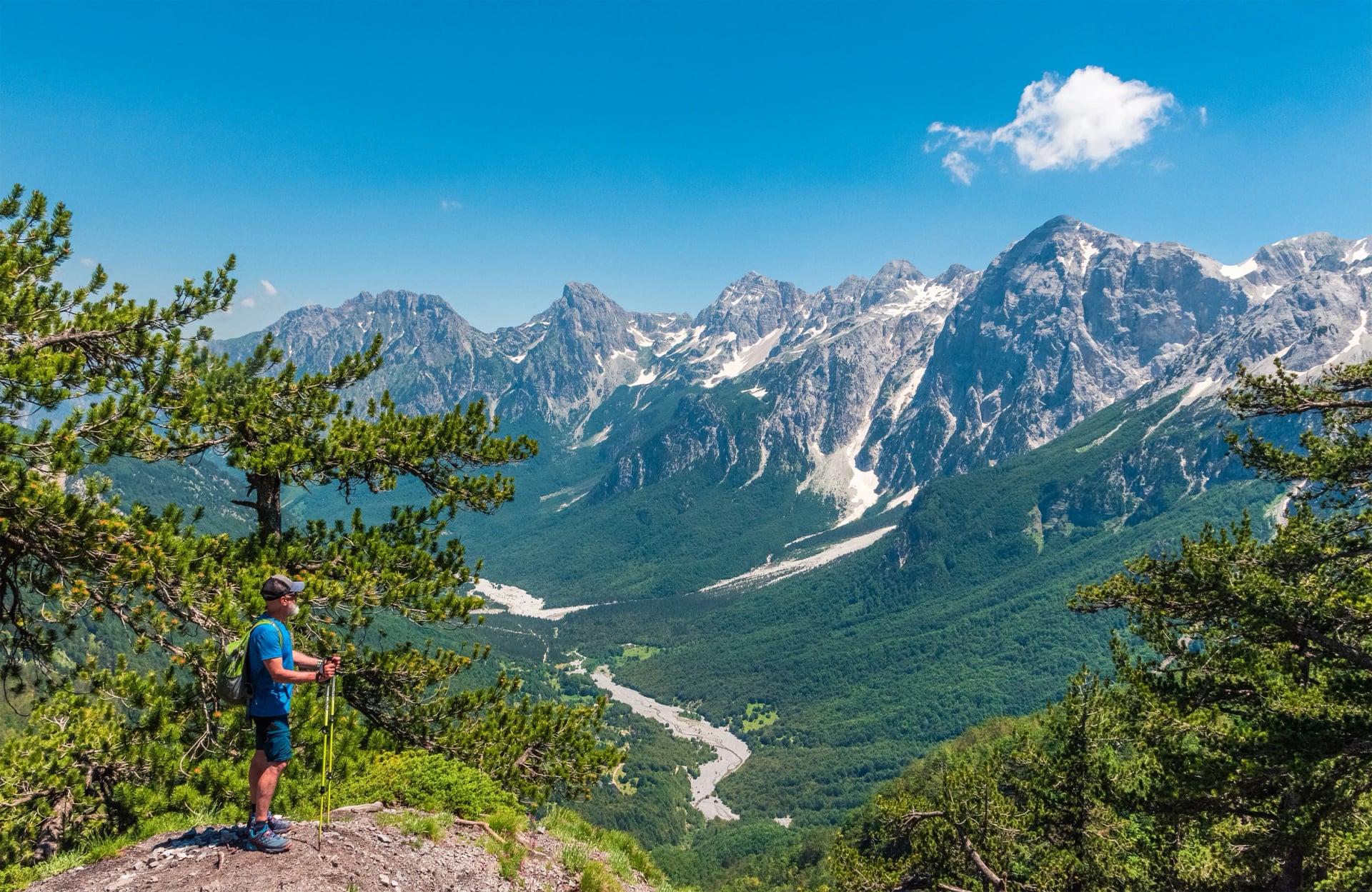
The first stage crosses the Valbona Pass, the most famous saddle in the range, on the same path as the popular day hike from Theth. Our guide to the Valbona to Theth hike covers it in detail. The Albanian Alps Hiking Tour walks the same pass the other way, and snow below the saddle sets the season for the whole loop.
Stage 3: Çerem to Dobërdol
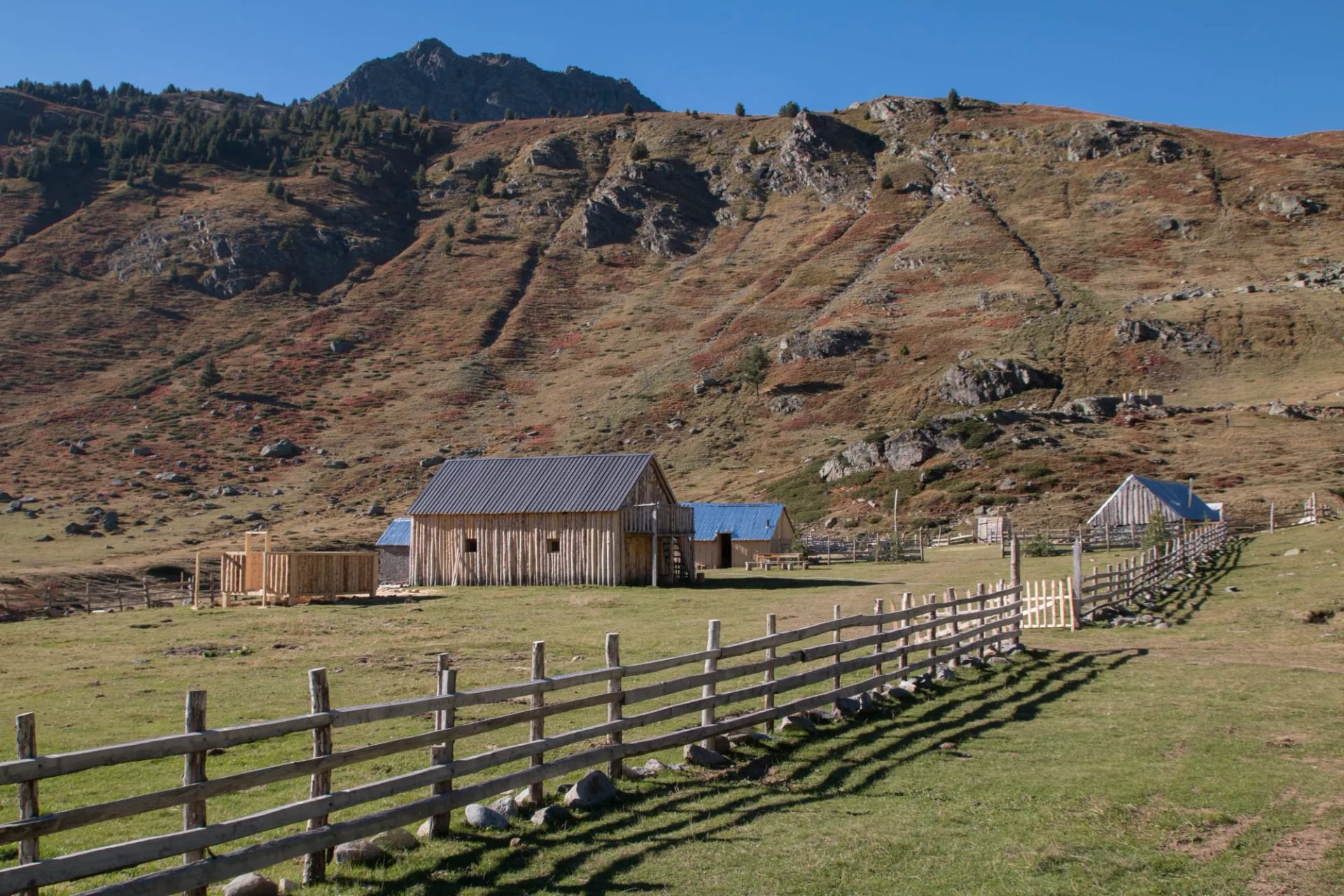
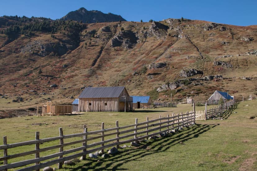
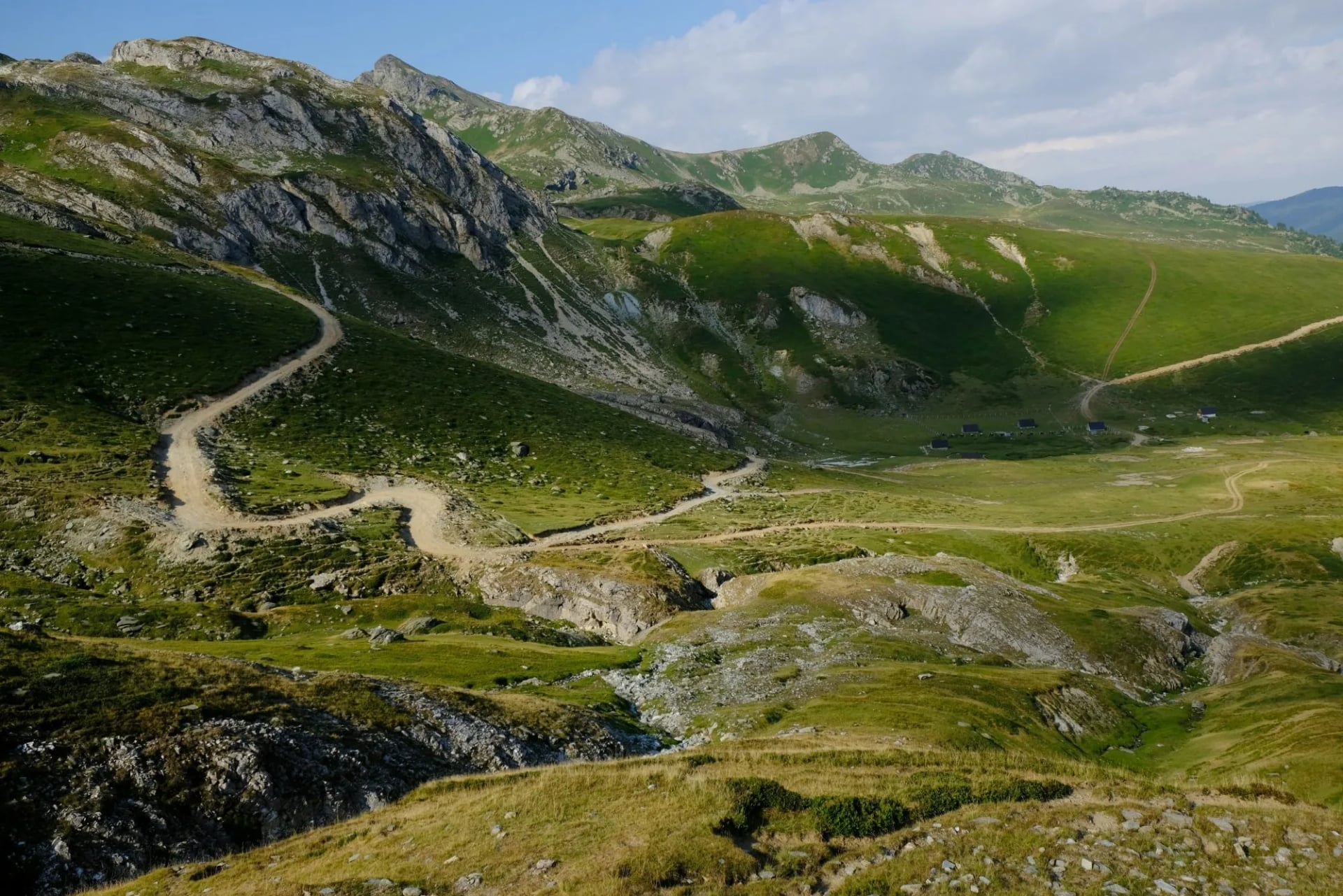
Out of the forest, the trail climbs onto open grassland with views towards Kosovo. Dobërdol is a summer-only shepherd settlement at about 1,750 m, and its guesthouses are basic, so bring a warm layer for the evening.
Stage 4: Over the Three-Border Summit
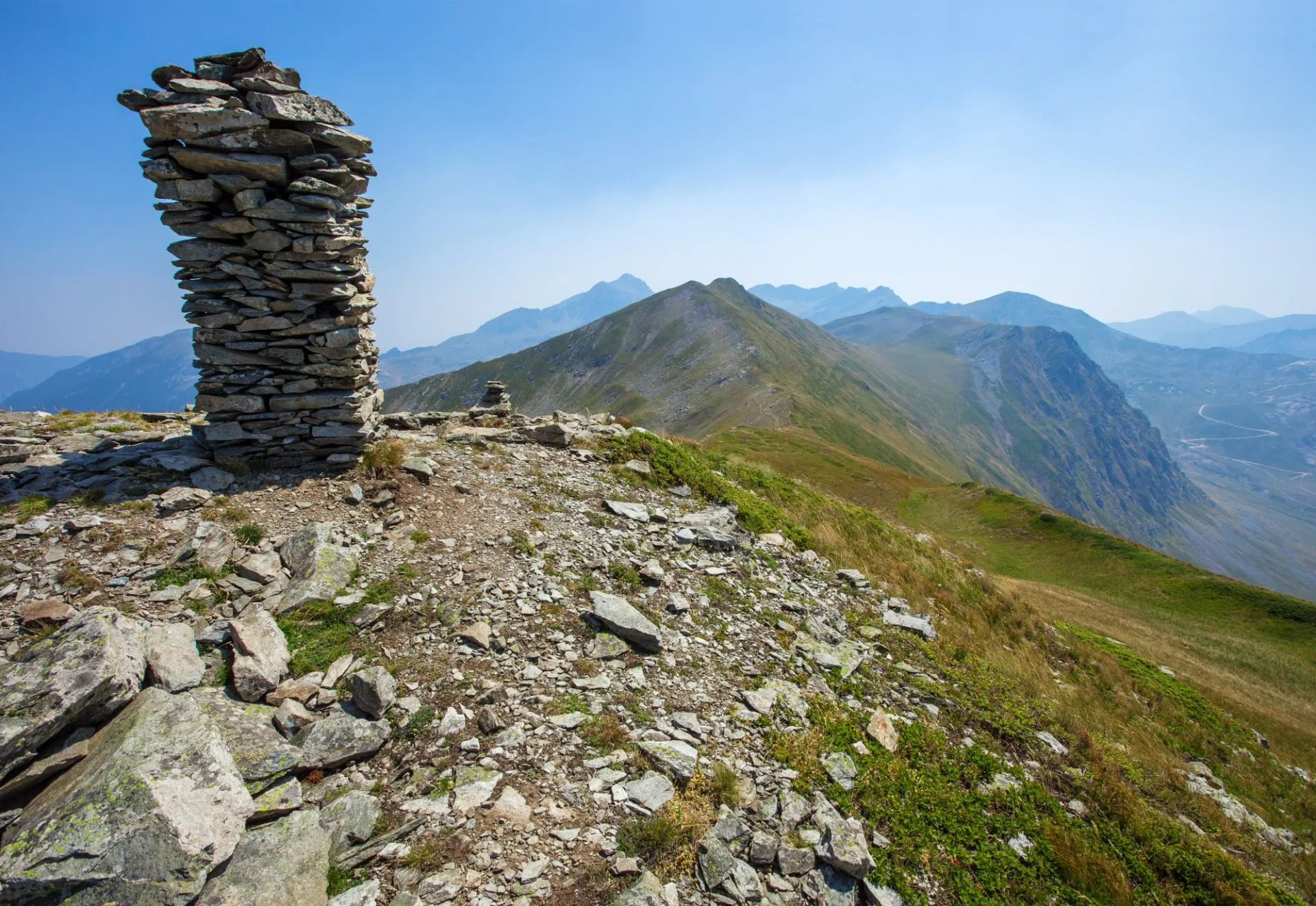
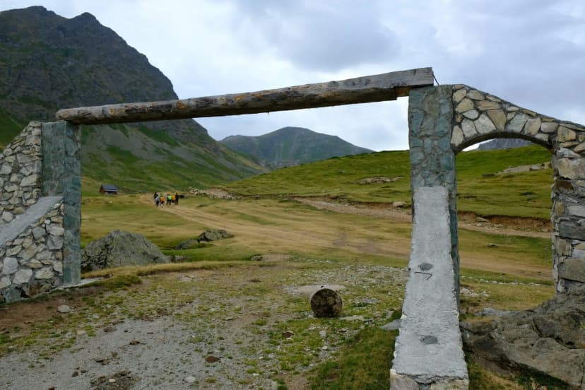
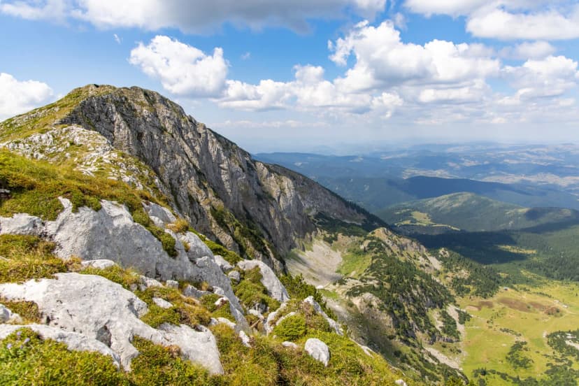
The highest stage climbs from Dobërdol to the ridge where Albania, Kosovo and Montenegro meet, then drops into Kosovo: the first of the loop's three border crossings. Milishevc, the first night in Kosovo, has chalets on the high pastures.
Stages 5 to 7: The Rugova Mountains
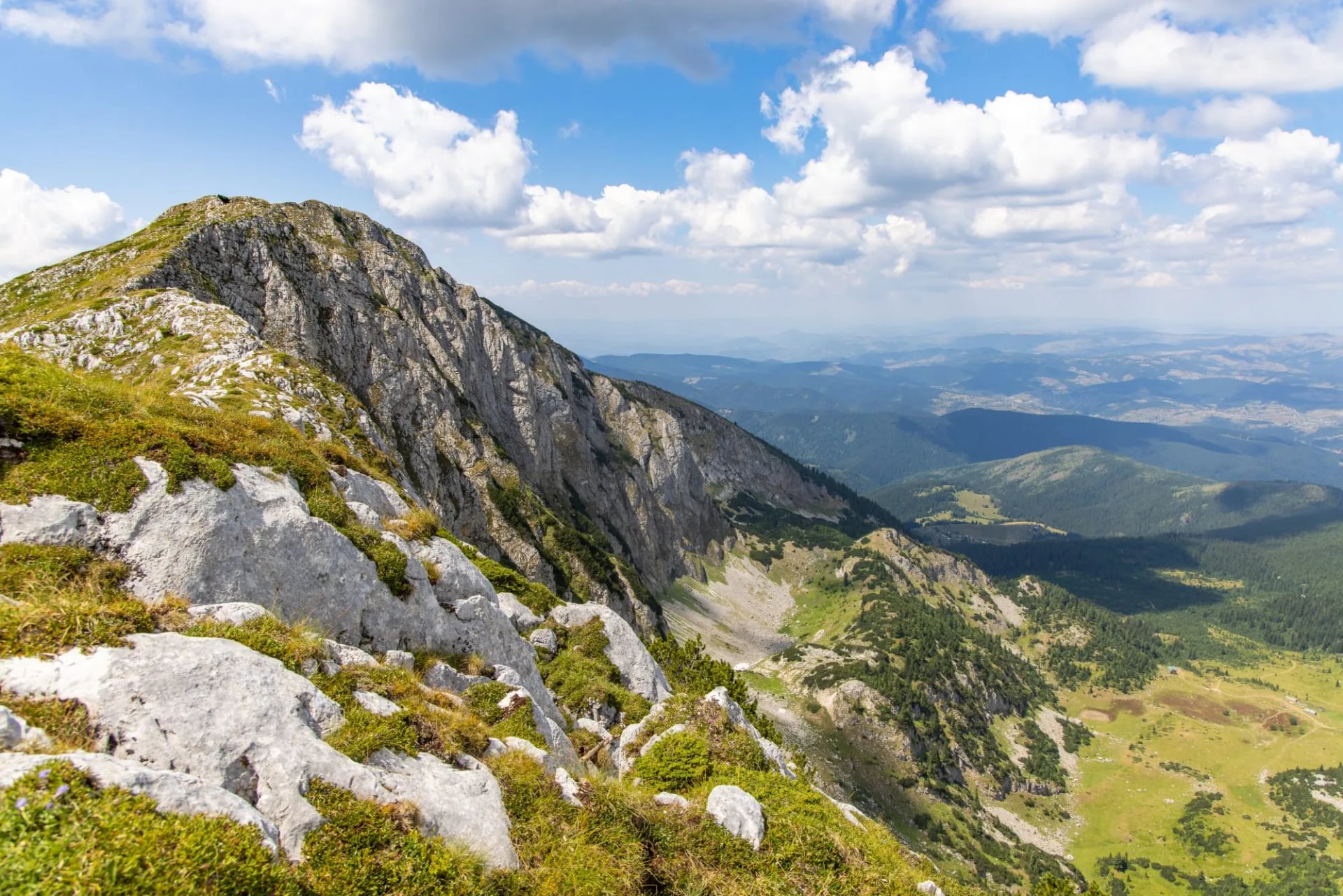
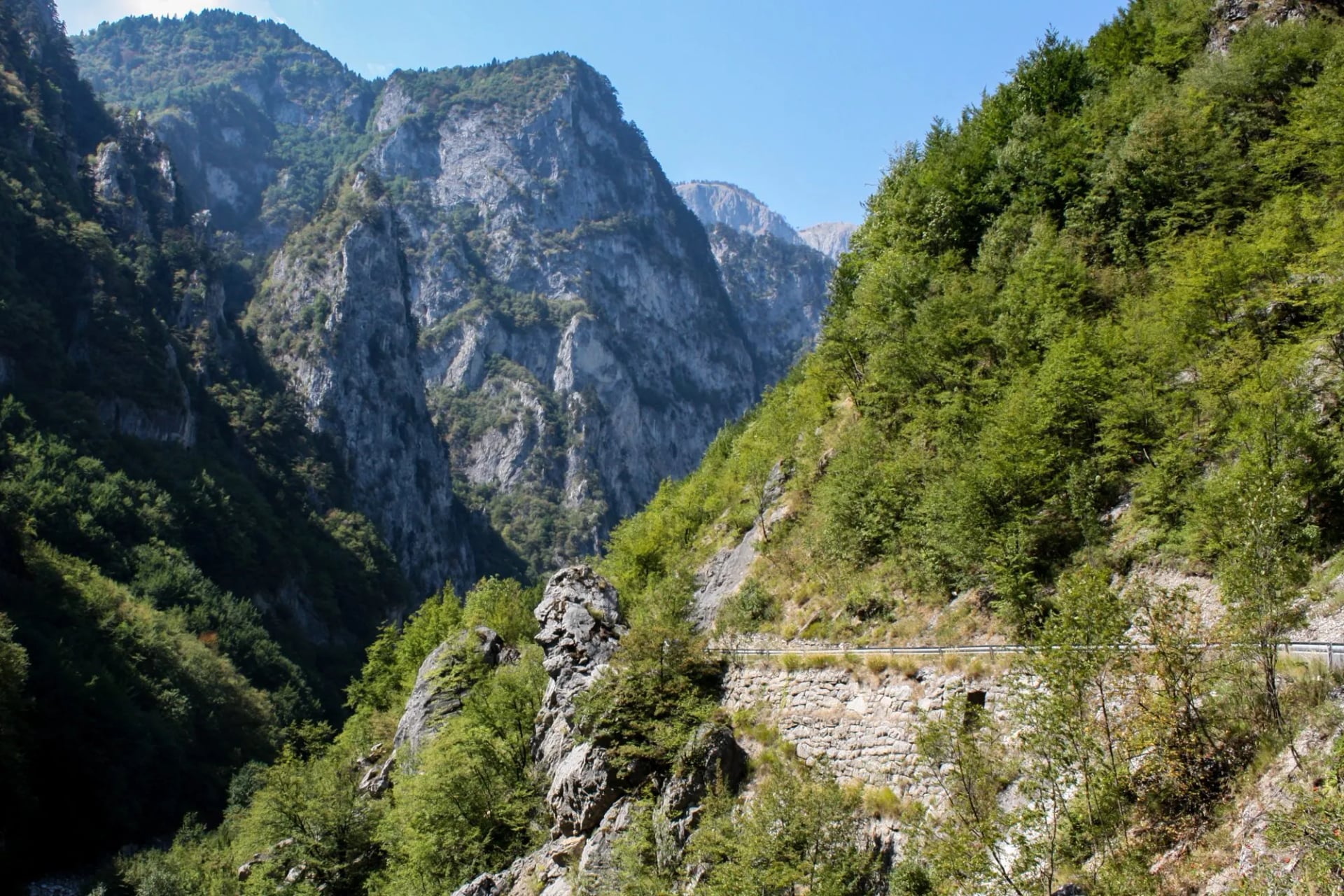
High ground in the Rugova mountains comes first, then the villages of Reka e Allagës and Kuçishtë in the Rugova valley; from Kuçishtë a road runs down the Rugova Canyon to Peja. Parts of the Kosovo stages run on roads, so check the latest route notes before you go.
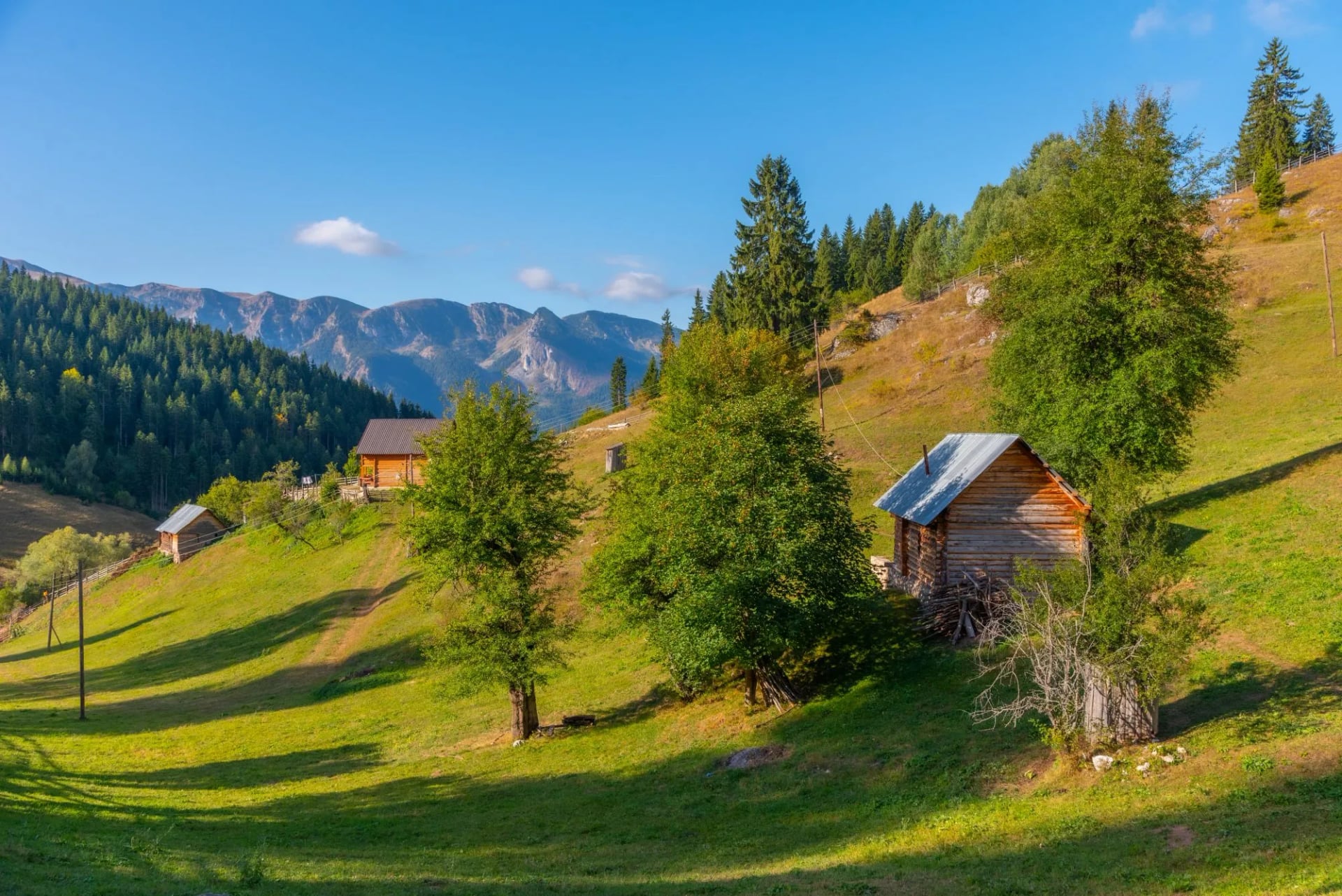
Stage 7 climbs out of the valley and back over the border into Montenegro, the loop's second crossing, to the pasture settlement of Babino Polje.
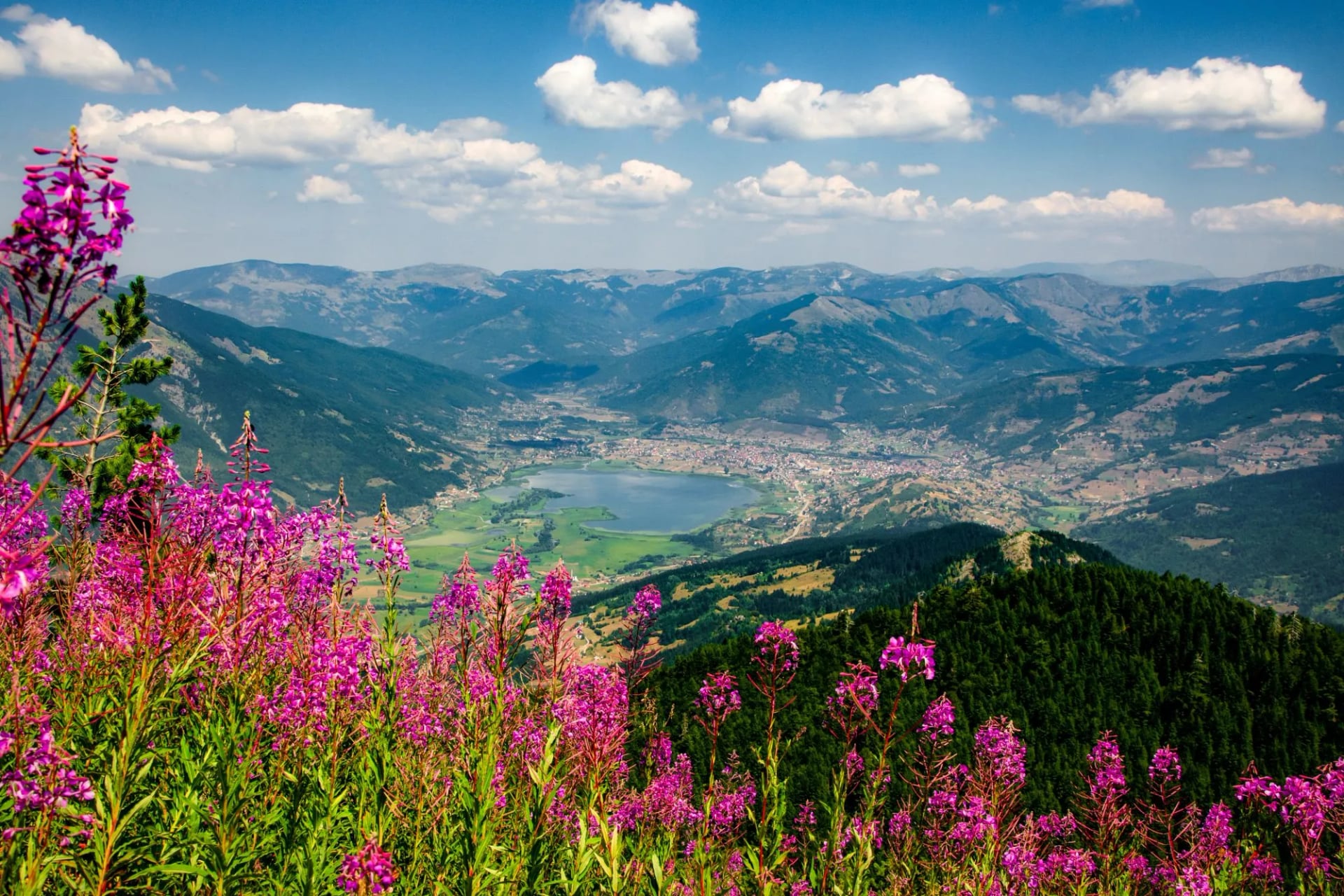
Stage 8: Past Hrid Lake to Plav
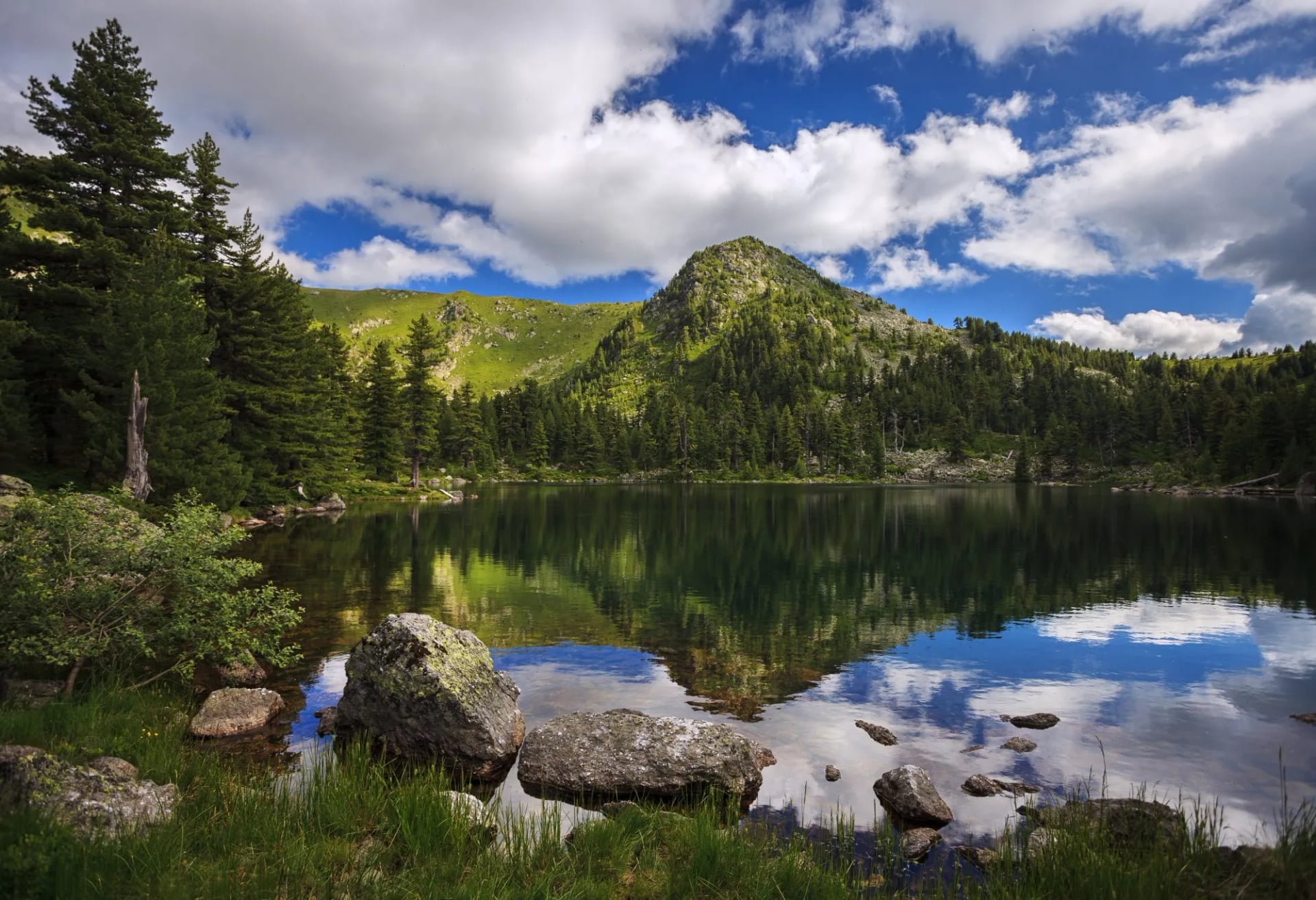
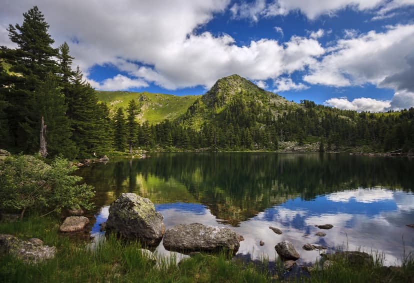
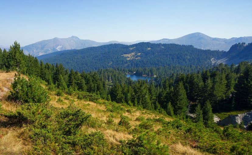
Hrid Lake: a glacial lake at about 1,970 m, below the stage's high point
The descent: a long way down from the lake to Plav
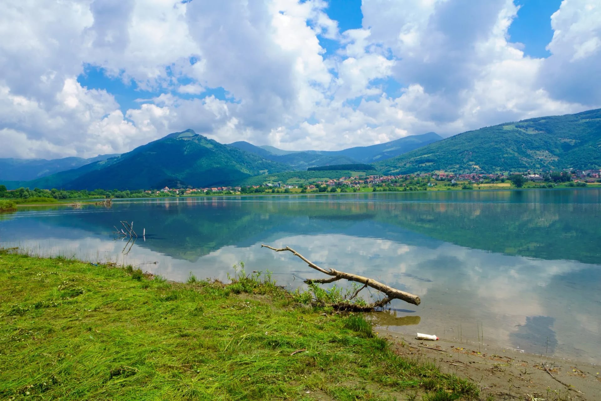
Plav: the biggest town on the route, with shops and cash machines
Stage 9: Plav to Vusanje, the Longest Day
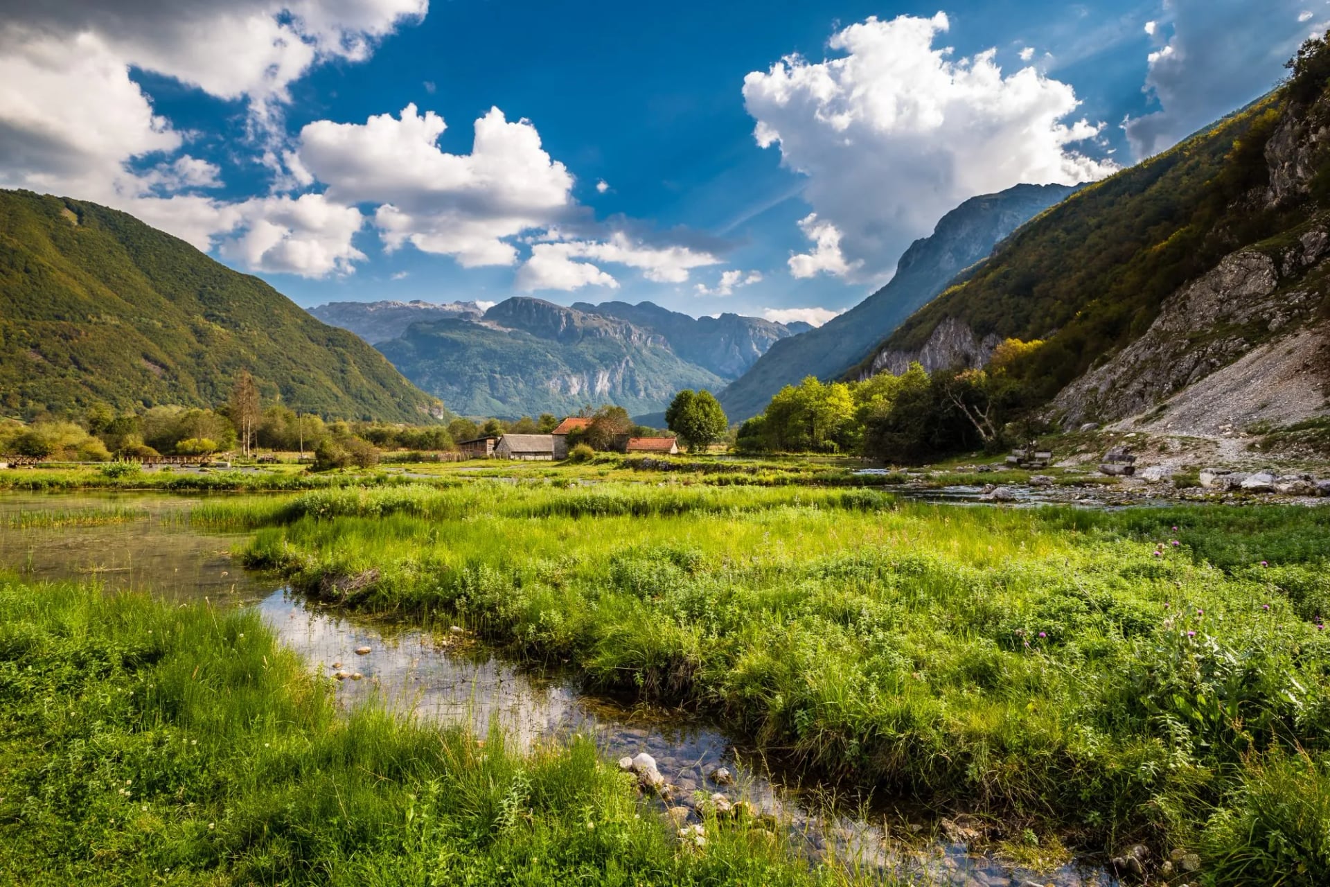
At 27.4 km, it's the longest day on the loop, so start early. The trail climbs over Bor Peak into Prokletije National Park, which Montenegro declared in 2009 and which the national parks agency manages, and ends at Vusanje, at the mouth of the Ropojana valley.
Stage 10: Back to Theth Over the Peja Pass
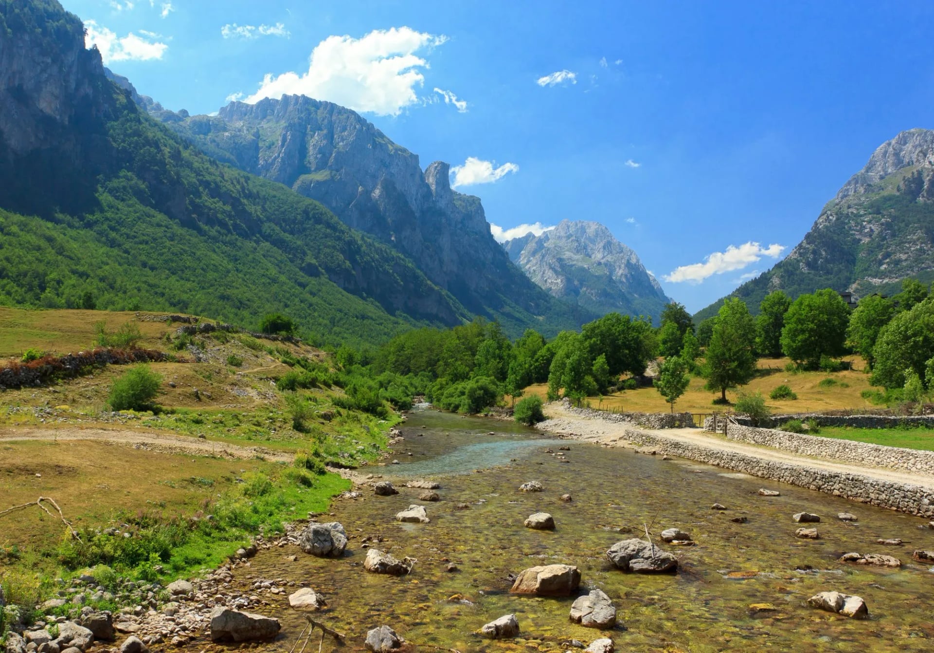
Up the Ropojana valley, the last stage climbs to the Peja Pass on the border, the third crossing, then drops down the valley to Theth. Our Theth National Park hiking guide covers the day hikes for a rest day at the end.
Full Loop, Highlights or a Plav Start?
Full loop | Trail Highlights | Start in Plav or Rugova | |
Countries | Albania, Kosovo, Montenegro | Albania and Montenegro | all three |
Border permits | three | two | three |
What you see | the whole trail | the two Albanian passes and the Ropojana valley | the whole trail, in a different order |
Best for | fit hikers with time for the whole trail | a short taste of the trail | flying into Podgorica or Pristina |
Our Peaks of the Balkans Trail Highlights walks a short loop from Theth to Valbonë, into Montenegro at Vusanje and back over the Peja Pass. Its walking days run from 13.5 to 21 km, with 900 to 1,200 m of climbing a day, and we apply for both permits.
Some hikers also skip the road sections on stages 5 and 6, using shortcuts near the three-border summit and Milishevc. A cut-off saves the most on stage 6, at 23.3 km, but misses the Rugova villages.
Plav is easy to reach from Podgorica by bus, in about 3 to 4 hours, and the Rugova valley from Peja. Starting there puts the Valbona Pass mid-trip, when your legs are stronger.
Border Permits, Step by Step
Fix your crossing dates first. The three countries agreed the cross-border rules in 2011, and each permit names the place, date and time of the crossing.
Apply at least 15 days before you start, to the police of the country you are leaving: Albania to Kosovo, Kosovo to Montenegro, Montenegro to Albania.
The Albanian and Kosovan permits are free and issued electronically.
For Montenegro, send your details and a passport scan, pay a small fee at a bank or post office in Montenegro, and collect the permit at the border police station outside Plav.
Carry copies on the trail, as there's no checkpoint on the path.
Local agencies can apply for all three on your behalf, and our Peaks of the Balkans tours do it as part of the booking. The trail's official cross-border procedures page lists the current contacts.
When to Walk the Peaks of the Balkans
The main season is June to September. Snow can lie on the high passes into June, with patches into July, and the first snow usually comes in October.
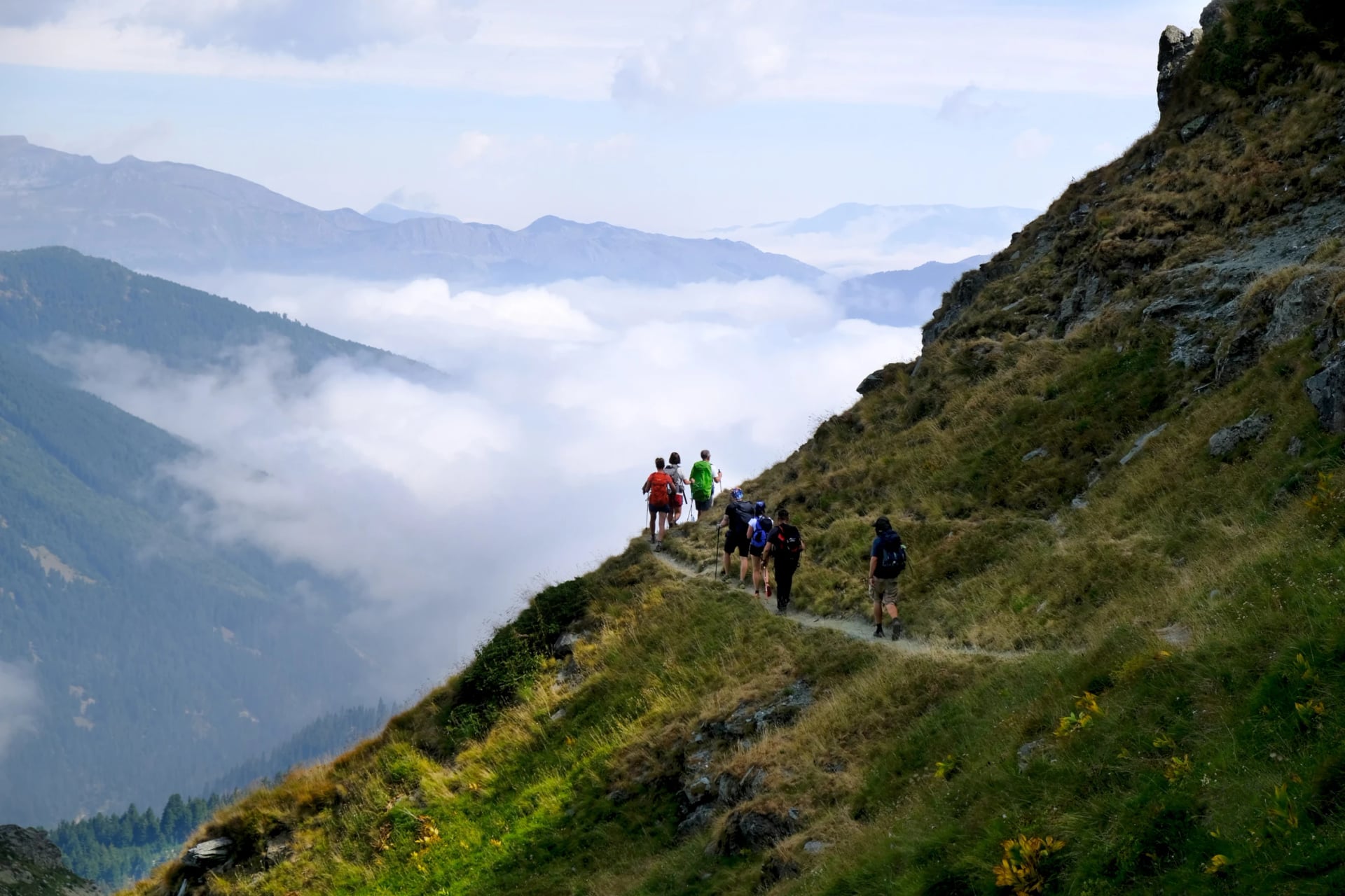
June brings wildflowers and full streams, July is usually the driest month, and September is cooler and quieter. Book beds early in July and August, as some villages have only a few.
How Hard Is It?
Distance: stages of about 14 to 27 km, the longest on stages 6 and 9
Climbing: on average about 1,000 m up a day
Remoteness: villages are far apart, and the nearest road can be a day's walk away
Navigation: the marks fade in places and mobile signal is patchy
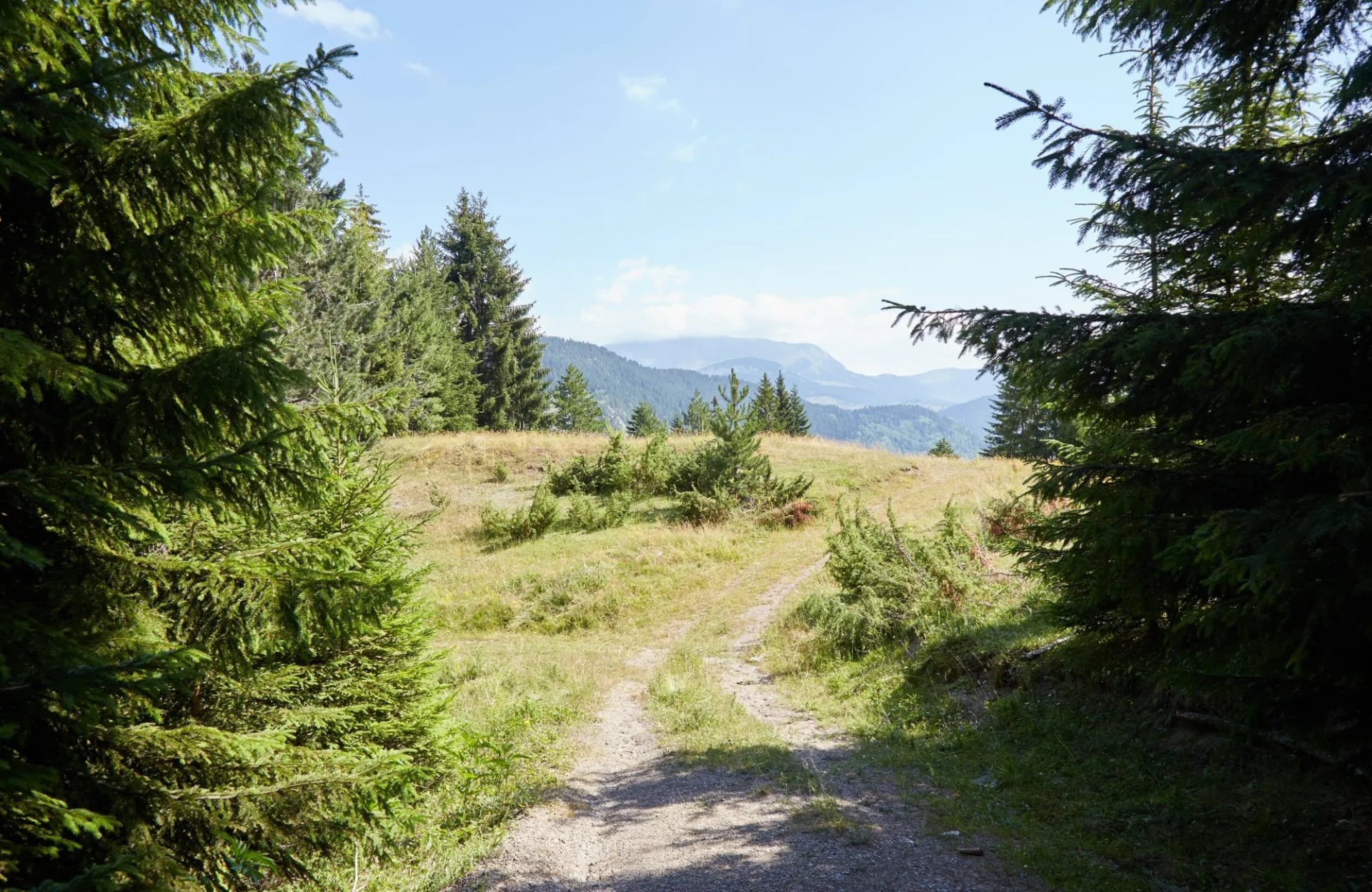
There's no scrambling on the official route. You need to be fit and used to long mountain days, and able to use a map app when the marks run out.
Where You Sleep and Eat
Most nights are in village guesthouses with dinner and breakfast, open from about June to September. Some stops, such as Dobërdol, are basic, and beds fill up in July and August.
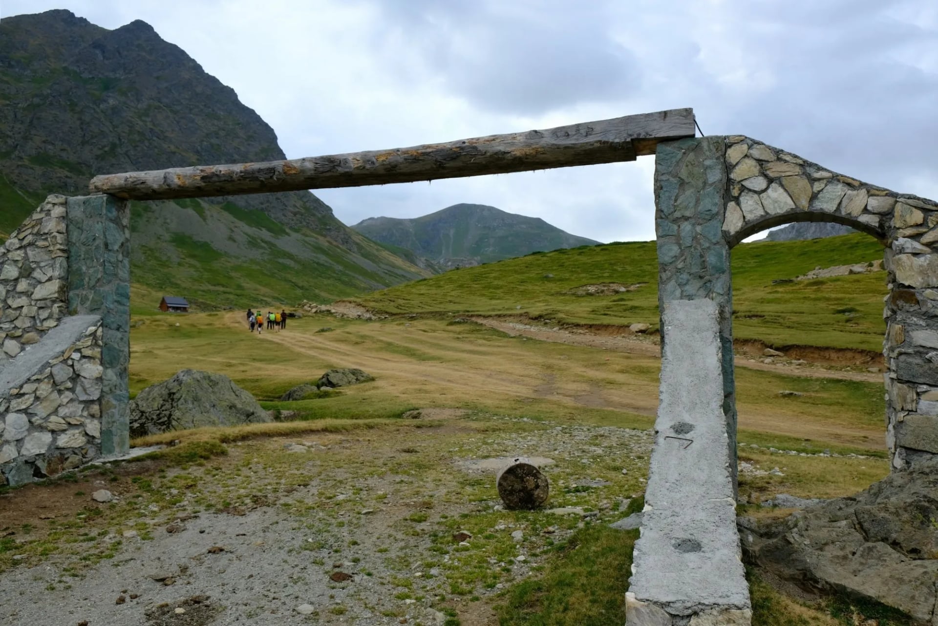
Most guesthouses pack a lunch for the next day, as there are few cafés between villages. Carry cash for the whole trip: Plav is the only town on the loop with cash machines.
Getting There and Storing Luggage
Theth is about two to two and a half hours by minibus from Shkodër, on the paved road. Valbonë is reached by the Koman Lake ferry and a van, and Plav is a few hours by bus from Podgorica.
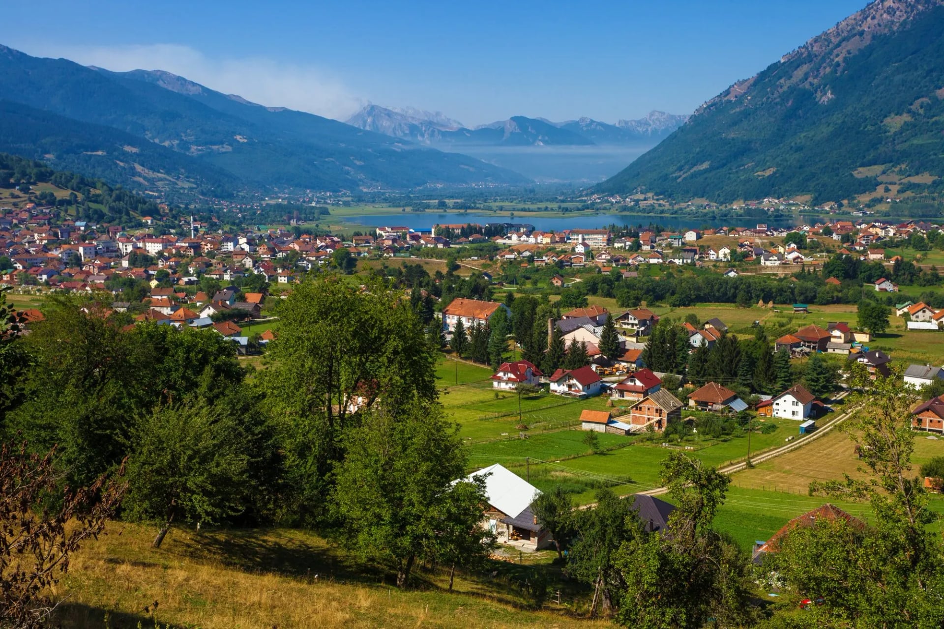
There's no road transfer for bags on most stages, so carry everything in a 35 to 45 litre pack. Leave the rest at your first guesthouse or in Shkodër, where many hostels store bags.
Highlights of the Loop
Six places most hikers remember long after the trail:
Walk the Full Loop With Us
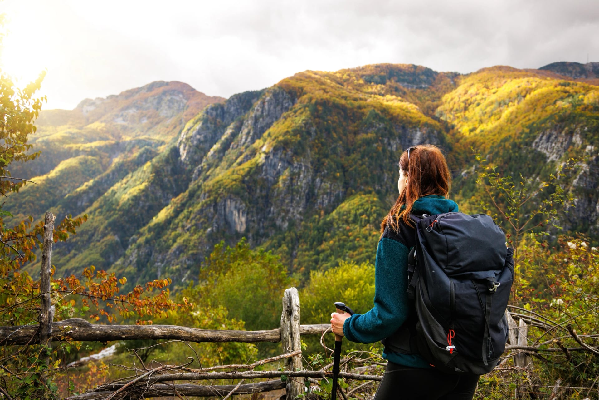
We arrange the whole loop as a self-guided hike, from Theth and back. The Peaks of the Balkans Trail books the guesthouses, applies for all three border permits, and gives you the route on your phone.
Route: Theth, Valbonë, Kosovo, Montenegro and back to Theth
Permits: all three applied for as part of the booking
Season: June to October
Planning the Peaks of the Balkans
Plan the loop around the permits and the snow: apply 15 days ahead, book the small villages early and keep a spare day for bad weather. If you'd rather have it arranged, send us your dates and we'll come back with the guesthouses and permits for your start date.
Frequently Asked Questions



Plan with a hiking expert
Free advice from a team that knows these routes inside out - real people, not a bot

HASSLE-FREE
We handle itineraries, accommodations, and anything else you prefer not to deal with, so you can enjoy a carefree hike.

BOOK WITH CONFIDENCE
We are a financially protected company, fully bonded and insured, keeping your money safe and allowing you to travel with confidence.

TRIED & TESTED ADVENTURES
Only the best hiking tours in Albania, cherry-picked by our team with an in-depth knowledge of the region.

UNBEATABLE SUPPORT
Our 24/7 customer support is where we show our passion, bringing you a better experience by making your well-being our number one priority.