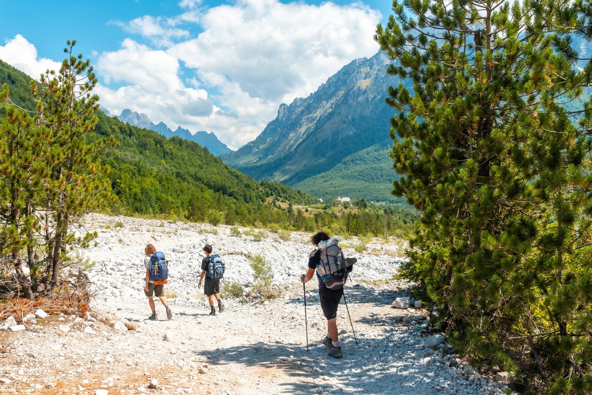
Everything You Need to Know About Grunas Waterfall
The walk to Grunas Waterfall from Theth church and how long it takes, the canyon below the falls, the best month to go, the entry fee and adding the Blue Eye.
Don't want to read all this?
We've planned 2,000+ hiking trips. Send your dates, fitness and group size — we'll map the route and book every night.



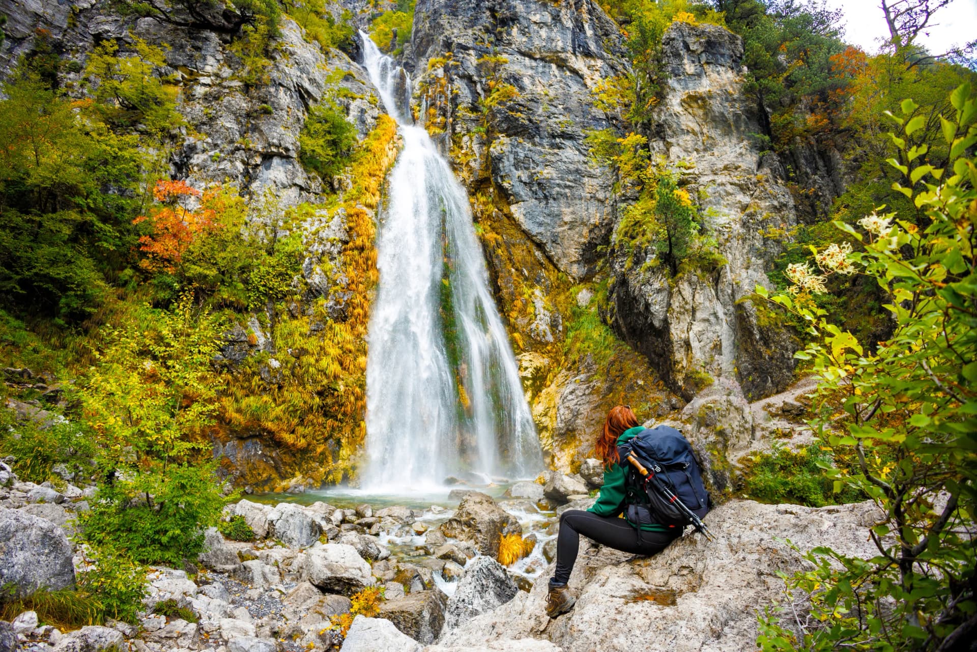
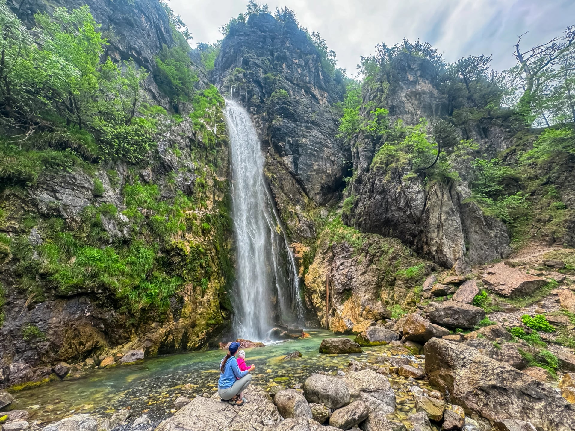
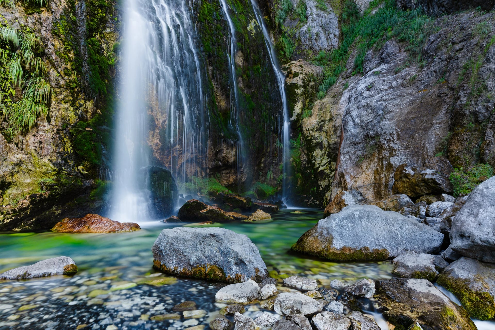
Grunas Waterfall plunges about 25 m into a cold blue pool on the slopes of Maja e Boshit, 3 km south of Theth church in the Albanian Alps. Also known as the Theth Waterfall, it is the valley's shortest big walk, about an hour each way. It is famous for what lies below: Grunas Canyon, up to 60 m deep. Both have been a protected natural monument since 2002.
Grunas Waterfall in a Few Facts
Albanian name: Ujëvara e Grunasit, useful when you ask the way
Some blogs claim 30 m, but official sources say 25 m
Rock springs and snowmelt feed it, so the flow follows the season
Sunny days bring a rainbow to the spray at its foot
How Do You Walk There?
Walk from Theth church on a marked path, or from a lay-by on the valley road. Open this map on your phone before you leave, since it settles every fork. Follow blue from the church or orange from the road. The green pin marks the church, orange the lay-by, blue the falls, and purple the bridges, the café and the Iron Age terraces.
The path forks more often than its red and white paint suggests, so these are the turns that matter:
Head south from the church on the lane, with the river on your right
Cross the red bridge over the Cam Dedaj stream after about 1.8 km
Keep left at the fork just past the Kunora e Grunasit café
Climb the last 250 m over rock and roots, on whichever line looks easiest
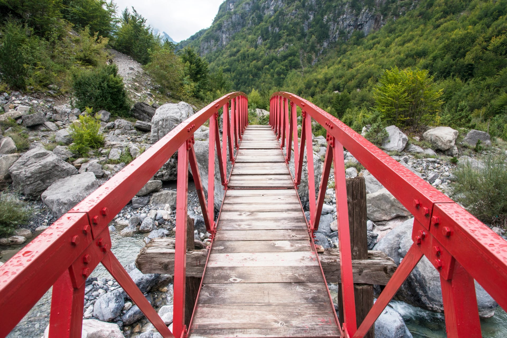
Driving? Park at the lay-bys 2.8 km south of the centre, and arrive early because they fill up. Cross the wooden bridge, walk north to the same café and turn sharp right. A shorter path climbs straight from the bridge, but its 700 m are steep and loose.
How Long and How Hard?
From the church, allow 50 to 60 minutes each way, or about three hours in all with time at the pool. The tourism agency's 30 minutes is optimistic, and your start point changes the sum:
Start | One Way | Walking Time |
Theth church | 3 km, 120 m up | 50 to 60 minutes |
Road lay-by | 1.7 km, 140 m up | about 40 minutes |
Kunora e Grunasit café | 0.8 km, 80 m up | about 20 minutes |
It is an easy walk: about an hour on a lane and a stony path, with one short, steep climb over rock and roots at the end. That climb needs proper shoes, and wet rock turns slippery, so check the Theth forecast. The forks cause more trouble than the climb, and on our tours we handle them: the route sits in our navigation app, with our notes.
How Deep Is Grunas Canyon?
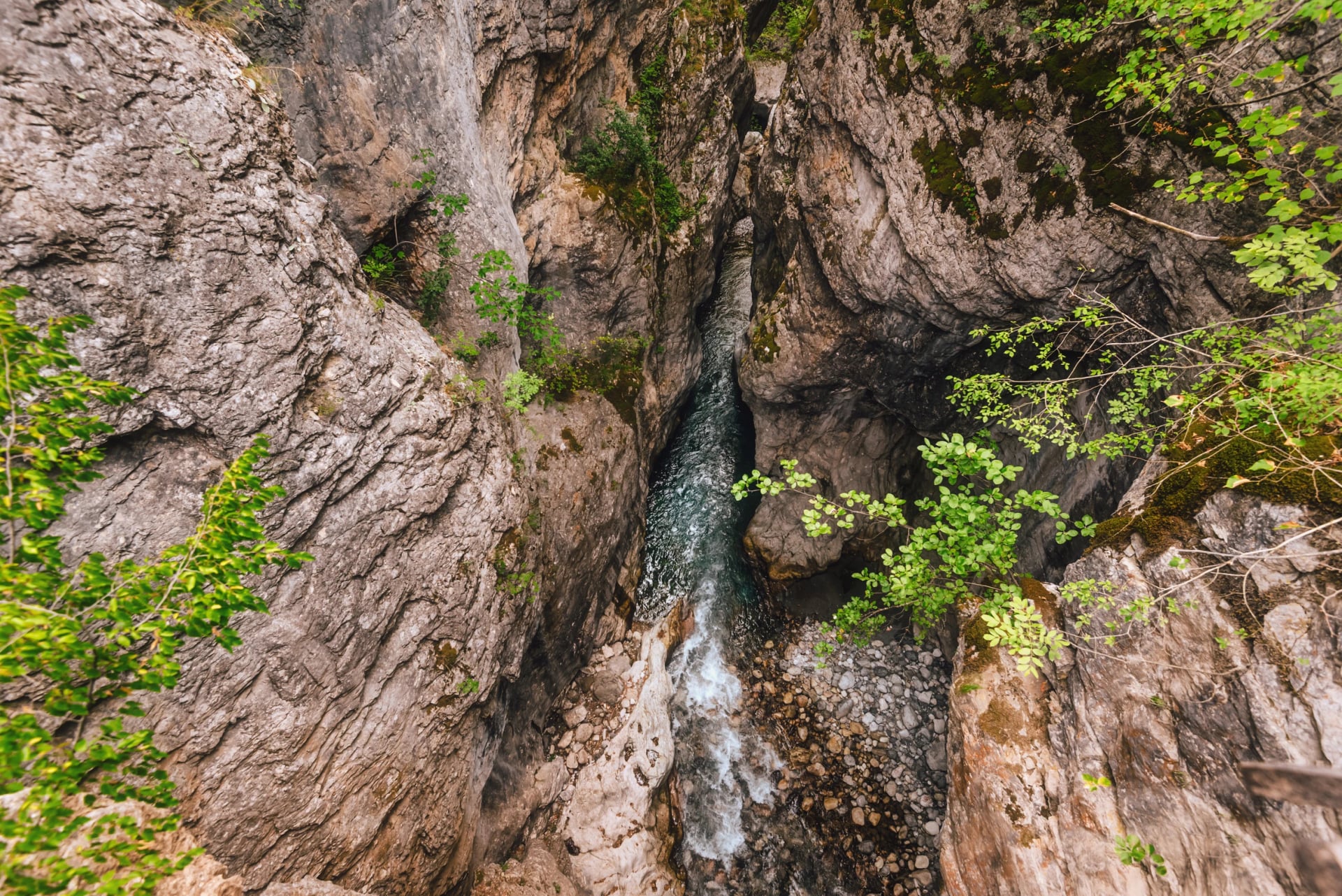
Up to 60 m deep and about 2 km long, Grunas Canyon narrows to 2 or 3 m in places. It is easy to miss, because the path from the church turns off before the gorge, so see it from the wooden bridge, 50 m from the road lay-by. From the falls, the steep path reaches the same bridge, and the road takes you back to the church: about 7 km in all. The gorge floor is for canyoners with a local guide.
On the spur beside the bridge, Shala Valley Project archaeologists dug fortified terraces from about 800 BC, guarded by the gorge and overlooking the only old trail up the valley. Have more in your legs? Carry on down the valley to Ndërlysaj and the Blue Eye of Theth.
Can You Swim at Grunas?
You can get in, but it is a plunge and not a swim: the shallow pool is full of large rocks, and the water stays cold right through summer. In June, stay out from under the fall, where the water hits hardest.
Which Month Is Best?
June is the best month, with snowmelt keeping the fall strong and the road over the pass open. The flow thins through July and August, the busiest months, and recovers with the autumn rain, while snow usually shuts the road from about December to April or May. The stream has no public gauge, so we read this from rain and snow figures and walkers' reports. Leave by 8:00 in summer: at 4:15 pm one June weekday, at least 30 people were at the pool.
Where Does This Walk Fit?
It fits best as the start of a long day: our Albanian Alps Hiking Tour crosses Lake Koman by ferry and the Valbona Pass on foot, then walks this path towards the Blue Eye, with guesthouses booked and a car waiting at Ndërlysaj. Send your dates through our inquiry form to shape it around your group, or see the tour:
Frequently Asked Questions



Plan with a hiking expert
Free advice from a team that knows these routes inside out - real people, not a bot

HASSLE-FREE
We handle itineraries, accommodations, and anything else you prefer not to deal with, so you can enjoy a carefree hike.

BOOK WITH CONFIDENCE
We are a financially protected company, fully bonded and insured, keeping your money safe and allowing you to travel with confidence.

TRIED & TESTED ADVENTURES
Only the best hiking tours in Albania, cherry-picked by our team with an in-depth knowledge of the region.

UNBEATABLE SUPPORT
Our 24/7 customer support is where we show our passion, bringing you a better experience by making your well-being our number one priority.