Hiking in Albania - The Best Hikes in Six Ranges
Albania's mountains opened to walkers only in 1991, and most paths are still empty. Where to go hiking in Albania, range by range, and when each range is open.
Quick links
Don't want to read all this?
We've planned 2,000+ hiking trips. Send your dates, fitness and group size — we'll map the route and book every night.



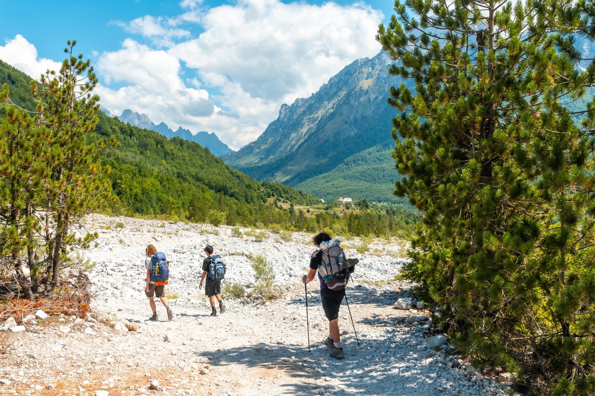
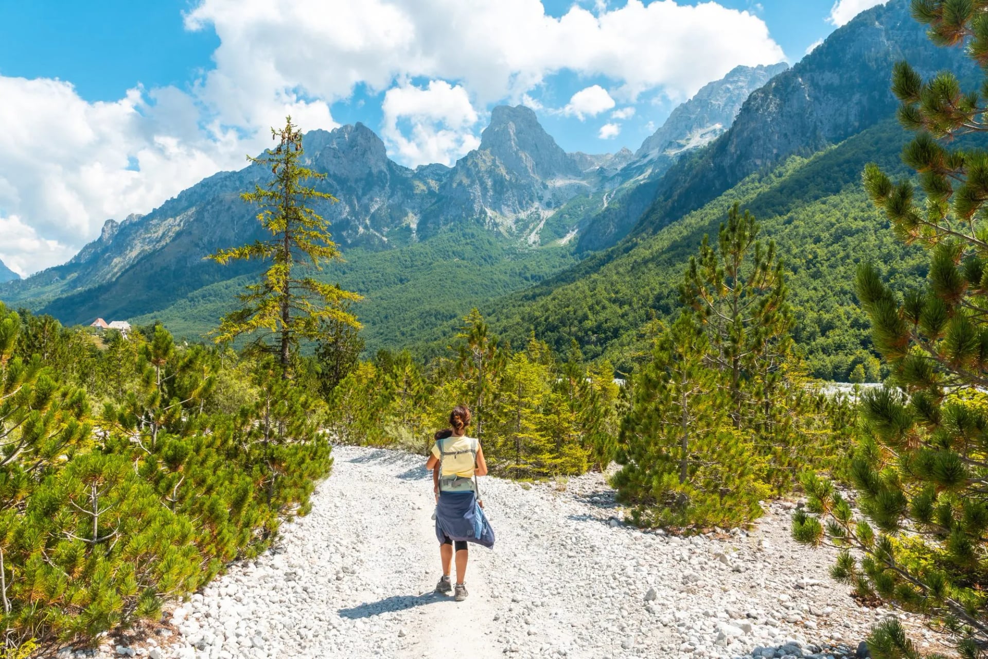
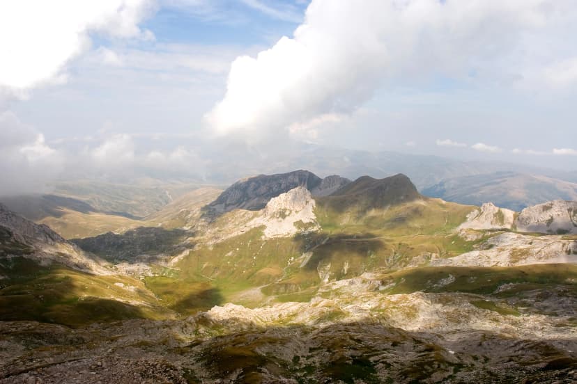
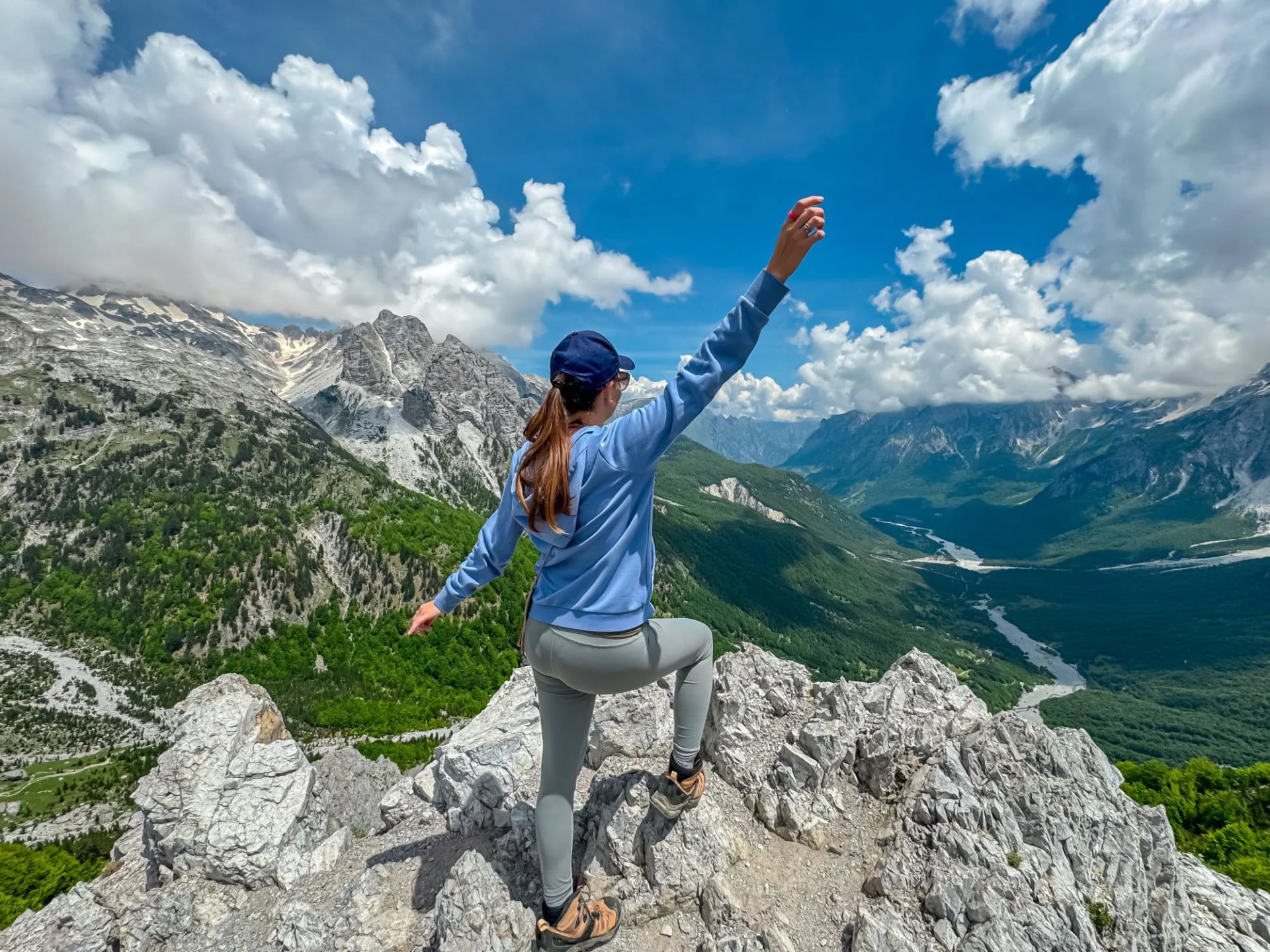
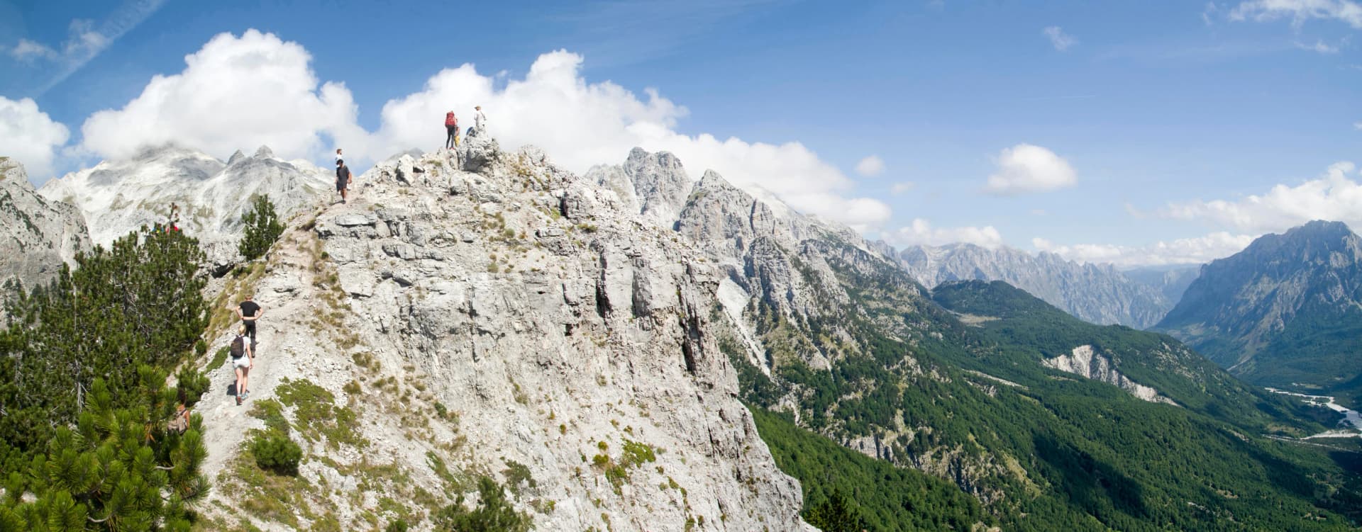
Above Valbona the mule track leaves the beech forest and climbs for an hour over bare limestone to the pass, with goat bells for company and the Theth valley opening below. On the same morning, fifty kilometres to the west, you could be on a cliff path above the Ionian Sea with nobody else on it. Both are Albania, and both are self-guided walking as it was in the Alps a generation ago: a bed in a family house at the end of the day, a path marked in red and white, and no lift, no booking office and no queue.
Albania has two hiking seasons that do not overlap. The Valbona Pass, the walk most people come for, is usually clear of snow from mid-June until the first fall in October. The paths of the Riviera are at their best in May and in October, when the coast is empty and cool enough to walk at midday. One trip rarely gets both at their best, so the first decision is not where to go but which season you are buying. This guide takes the country range by range, with the walks that matter in each, then the practical part: days, dates, rules, and how to get from the airport to the trailhead.
Albania or Montenegro?
Albania, if you want one classic mountain crossing with a family guesthouse at each end, a ferry ride in and almost nobody on the path. Montenegro, if you want a hotel base with a network of marked walks around it, as at Durmitor, and do not mind a park fee and a bigger crowd. The two share one range, the Prokletije, and the Peaks of the Balkans trail walks through both, so the honest answer for a two-week trip is both.
Albania | Montenegro | What it means for you |
A night in a Theth or Valbona guesthouse with dinner and breakfast costs a modest cash sum; Lake Koman is the way in | Prokletije villages charge a little more, and Žabljak hotels in the Durmitor several times more | Albania is the cheaper week, but you carry the cash in |
No national park entry fee found, in the Alps or on the coast | Durmitor and Prokletije charge a daily fee per person | Budget the fee in Montenegro, not in Albania |
Red and white blazes on the main routes, thinner off them; a sensor counted more than 43,000 walkers on the Valbona to Theth stage in one season | The Knafelc mark on 27 trails in Durmitor, well kept, and the busiest park in the country | Montenegro for marked variety from one base, Albania for one great line |
A quiet coast: Riviera paths are sparse and lightly marked, with the sea at the bottom of most of them | The Ladder of Kotor, 70 hairpins and 940 m of climbing above the bay | Albania's coast is a walk and a swim; Montenegro's is a view |
Lek, cash in the valleys, euros taken | Euro, cards in the towns | Draw lek in Shkodër before the mountains |
Tirana: British Airways, Ryanair and Wizz Air from six UK airports | Tivat in summer: easyJet, BA and Jet2 from London | Both are short-haul from the UK; neither has a nonstop from the USA |
Sources: the Montenegrin national parks' own fee pages, the GIZ report on the Peaks of the Balkans counter, and the airlines' 2026 schedules.
Month by month
Two seasons, so every month gets two verdicts: one for the Alps around Theth and Valbona, one for the coast around Himarë. Temperatures are the 1991 to 2020 averages for Theth village at about 800 m and for Himarë; the pass sits a thousand metres higher and runs several degrees colder.
April: coast only. Himarë reaches 16 C with the sea at 16 C, fine for walking, cold for swimming. The Valbona Pass is under full snow, the Theth road has often only just reopened and most guesthouses are shut. The Koman ferry starts its season in mid-April.
May: the Riviera's best month. Highs of 21 C on the coast, ten rain days, the sea at 19 C and the beaches empty. In the mountains the snow is melting but can lie on the pass into late May in a heavy year, and the guesthouses that have opened fill fast.
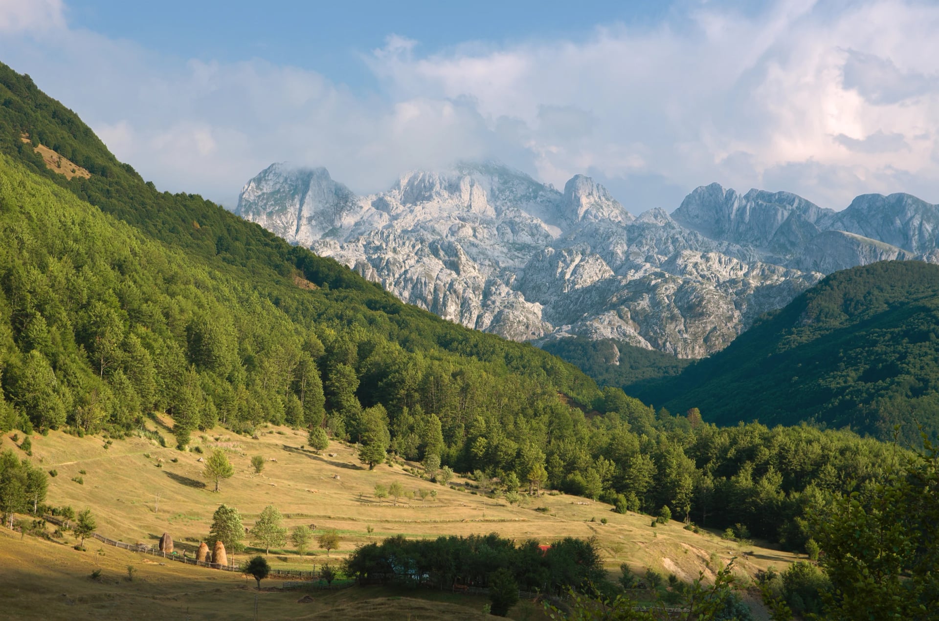
June: the pass opens. By the middle of the month the snow is usually gone from the Valbona Pass, though a cold spring can hold it longer, so ask your guesthouse before you commit to a crossing date. Theth sees 22 C by day and 11 C at night. The coast hits 24 C with the sea at 23 C, but Dhërmi is full for the first week with the Kala festival.
July: mountains, and start early. Theth highs of 25 C, ten rain days and the pass fully open. The coast is 27 C with a UV index around 9, so coast walks belong to the morning. This is when a July crossing wants a 07:00 start to be over the top before the heat.
August: the busiest month and the driest. Theth at 26 C with only nine rain days, the valleys full, and the Logu i Bjeshkëve festival filling Kelmend in the second week. On the coast the sea peaks at 25 C and the wildfire risk peaks with it.
September: the month for both. The Alps cool to 21 C with the guesthouses open to the end of the month and the summer crowd gone. The coast is still 24 C in the air and the sea, and the rain does not return in earnest until October. If you only have one trip, this is the month to put it in.
October: back to the coast. Theth drops to 16 C by day and 5 C at night, most guesthouses close during the month and an early snowfall can shut the pass without notice. Himarë stays at 21 C with the sea at 22 C, and the Riviera paths are quiet again. The ferry runs until early November.
Sources for the figures: the weather-and-climate.com 1991 to 2020 series for Theth and Himarë, and the Himarë sea temperature record kept by the town's own site.
Where to hike, range by range
Albania is 70 percent mountain, and the ranges do not join up, so you pick a range first and a trip second. Six of them have walks worth a flight. Only two have our tours on them, and the tables say so.
See the six ranges on the map
The Albanian Alps
The Prokletije, the Accursed Mountains, are the northern end of the Dinaric Alps: 64 km of limestone walls, about 30 glacial lakes and the second-highest summit in the country. Since January 2022 the whole massif is one park, the Alps of Albania National Park, 82,845 hectares, which swallowed the old Valbona and Theth parks and the Gashi river reserve. Most of the walking lives in two valleys, Theth and Valbona, joined by one pass. The range on its own, valley by valley and by the days you have, is in our guide to hiking the Albanian Alps.
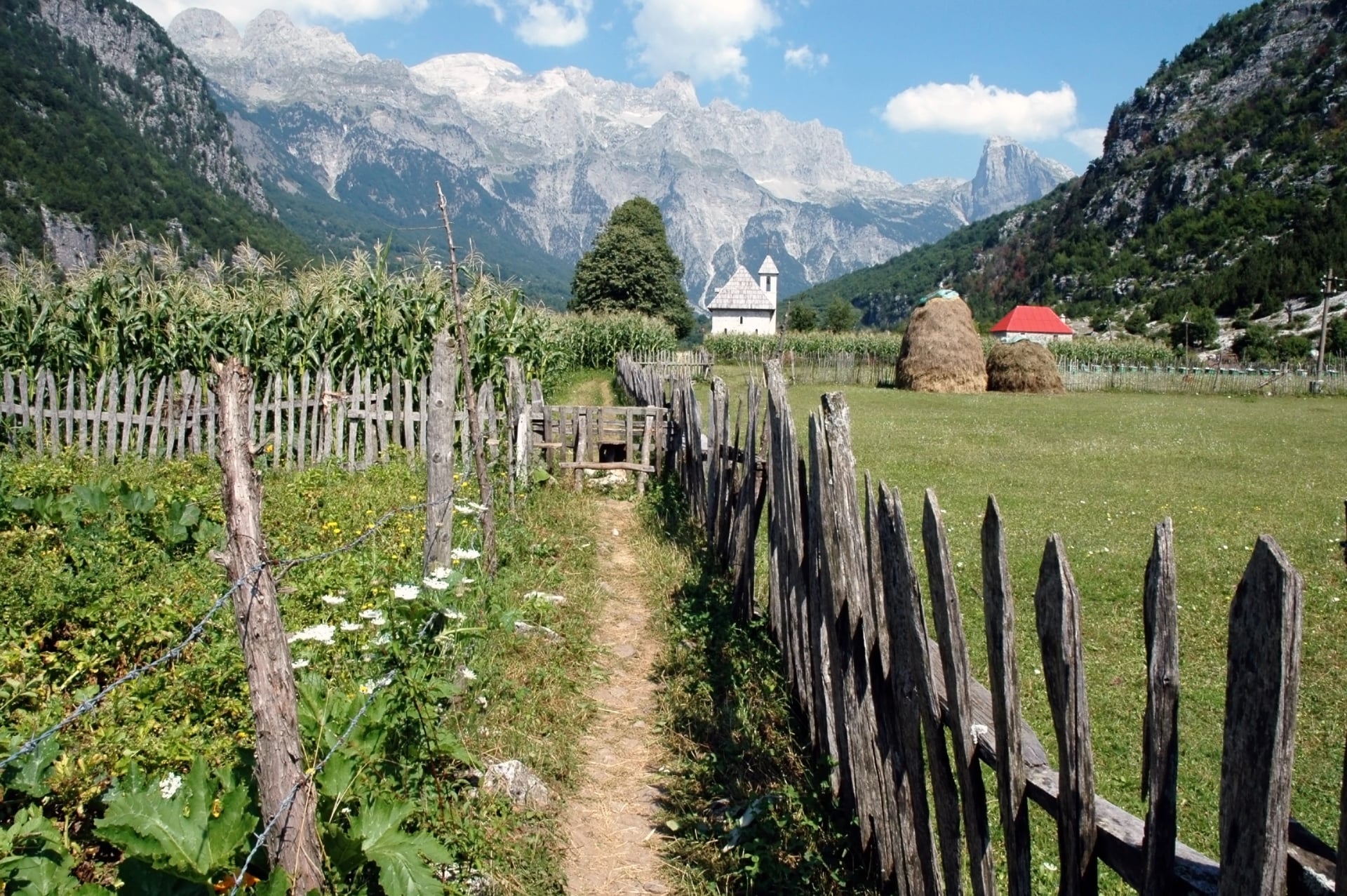
Walk | Time | Why |
The Valbona Pass, Rragam to Theth | 6 to 7 hours | An old mule track over the 1,795 m pass, the one crossing everybody comes for |
Theth to the Blue Eye via Grunas | 6 to 8 hours | A spring the colour of glacier ice and stone tubs cut by the river at Nderlysaj |
Maja Jezercë from Rragam | About 10 hours | 2,694 m, a scramble with a chain and a cable near the top, for experienced walkers only |
Lëpushë to Theth over the Peja Pass | Two days via Nikç | Kelmend's shepherd valleys, partly unmarked and short of water |
The pass is the trip's spine, and everything about crossing it, in both directions, with the ferry and van times, lives in our guide to the Valbona to Theth hike. Theth itself, with its four walks and the weather table, is in our guide to Theth National Park. This page does not repeat them.
We walk it from the Valbona side, the gentler way up, and book the two rides nobody wants to arrange from abroad: the 4x4 from Valbona to the Rragam trailhead and the car back from Ndërlysaj after the Blue Eye. See the tour:
If a week is what you have, the longer version adds a day on the ridge above Valbona to the Montenegrin border and a slower pace through both valleys, with the same ferry in and the same minibus out. Explore it here:
Across the borders: the Peaks of the Balkans
The same range continues into Montenegro and Kosovo, and the Peaks of the Balkans trail loops through all three: 192 km, ten stages and close to 10,000 m of climbing, opened in 2011 and signposted in the same red and white. The stage from Çerem to Dobërdol shows what the far side is like: 16.8 km and 1,100 m up over the Aljuci pass at 1,920 m, a dip into Montenegrin forest and back, and a night in a shepherd settlement at 1,800 m with glacial lakes above it.
Every crossing needs a police permit, filed at least two weeks ahead, and we file them as part of the booking. For a first taste of the loop without the full fortnight, we take the Albanian and Montenegrin stages and leave Kosovo for another year. See the tour:
Korab and the east
Korab is the roof of two countries at once, because the border runs over the summit. The landscape is nothing like the Alps: rolling karst and meadow rather than walls, with wildflowers in early summer and springs along the way. The nature park around it, Korab-Koritnik, has been protected since 2011.
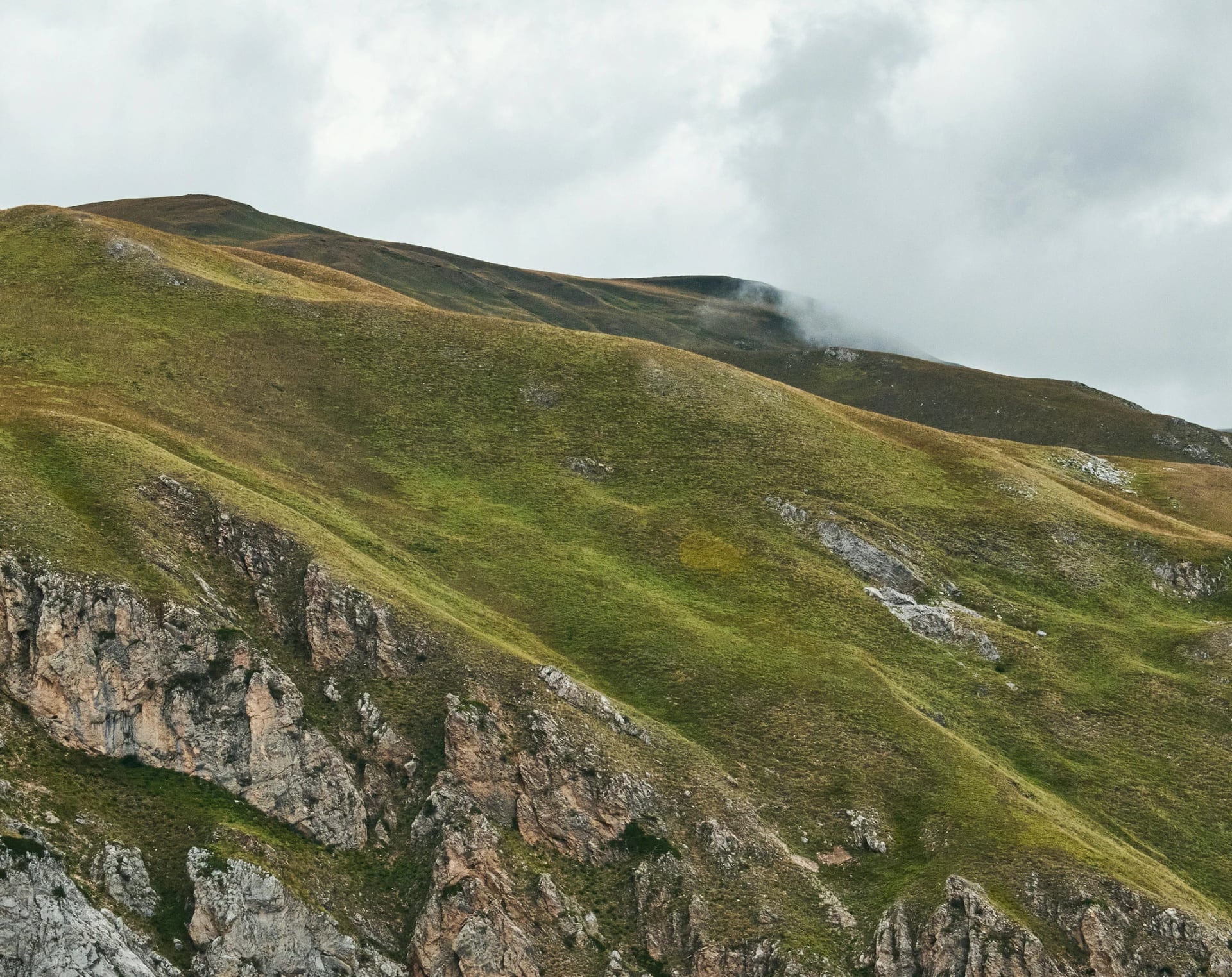
Walk | Time | Why |
Mount Korab from Radomirë | About 9 hours | 2,764 m, the highest point in Albania, with the summit cairn on the border line |
The Lurë lakes from Lura e Vjetër | 2 hours to the Great Lake | A dozen glacial lakes between 1,350 and 1,720 m, in a forest half lost to logging |
Korab is a long, honest day: close to 20 km there and back from Radomirë at 1,258 m, with about 1,500 m of climbing and red and white marks most of the way. Carry a passport, as the top is in two countries. Radomirë is 50 km of winding road from Kukës, and the village has beds. We do not arrange walks here; it is a day out on your own, best from late June when the last snow has gone from the ridge.
Tomorr and the Osum
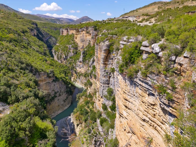
Mount Tomorr stands over Berat, a UNESCO town two hours from Tirana, and it is a holy mountain: Bektashi pilgrims climb to the shrine of Abbas Ali on the summit ridge every August, and a gravel road now reaches the last 800 m of height from the Kulmak pass. Below it the Osum river has cut a canyon that the state lists at more than 26 km long and up to 80 m deep.
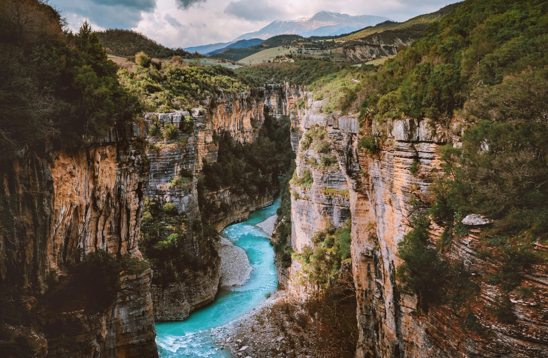
Walk | Time | Why |
Çuka e Partizanit from Dardhë | A long day, 1,400 m up | 2,416 m, the pilgrims' mountain, with the whole of central Albania below |
The Osum canyon, left bank to Çorovodë | 9 km, about 3 hours | A path along the rim of the canyon; the river itself is for rafting in spring |
Sotira waterfall loop from Bogovë | About 2 hours | A fall the state measures at over 100 m, in the Tomorr foothills near Gramsh |
None of these are on our tours. Berat is the place to break the drive between the Alps and the coast, and the canyon walk is best in May, when the river is high and the rim path is green.
Llogara and the Riviera
Where the Ceraunian range meets the Ionian Sea, the coast road has to climb to 1,027 m at the Llogara Pass to get over it, and that pass is where the Riviera starts. The national park at the pass is black pine and Bosnian pine on the shaded side, and bare limestone on the sea side, with the beaches a thousand metres below.
Walk | Time | Why |
Caesar's path from the Llogara Pass | 1 hour each way | An easy ridge walk with the legend of Caesar's army of 48 BC attached to it |
Maja e Çikës | 6 to 8 hours | 2,044 m, the highest summit on the coast, faint above the treeline, start by seven |
Gjipe canyon and beach from the car park | 30 minutes down, 45 up | No road reaches the sand, and nothing is sold there |
The Llogara ridge to Maja e Thanasit | About 5 hours | The day we walk, with the bags moved by car and a hotel in the pines at the end |
The Riviera is a different kind of week: a hotel by the sea for five nights, a car that drops you at the top of each path and collects you at the bottom, and a swim where the walk ends at Jal, Livadh or Bunec. The paths are quieter than anything in the Alps, because almost nobody walks them, and the marking is sparse for the same reason, so the GPS track matters more here. We time the days for the morning, send the bags ahead and book the taxi back up the pass so you never retrace a climb. See the tour:
Gjirokastër and Zagoria
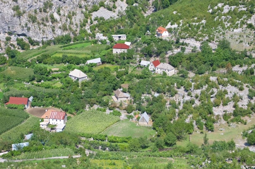
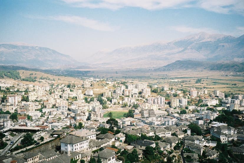
Gjirokastër, with more than 500 listed houses under slab roofs, is the base for the far south and on the UNESCO list since 2005. Above it the Zagoria valley keeps a string of stone villages that the road forgot, and below it, on the way to the sea, the Blue Eye spring rises out of a karst pool at a constant 10 C.
Walk | Time | Why |
Zagoria, Hoshtevë to Sheper | 12.5 km, easy | Stone villages, an 18th-century church and a square in Nivan named for a British officer |
The Ali Pasha bridge from Gjirokastër | 30 minutes | An aqueduct bridge of 1812, 40 m long and 16 m high |
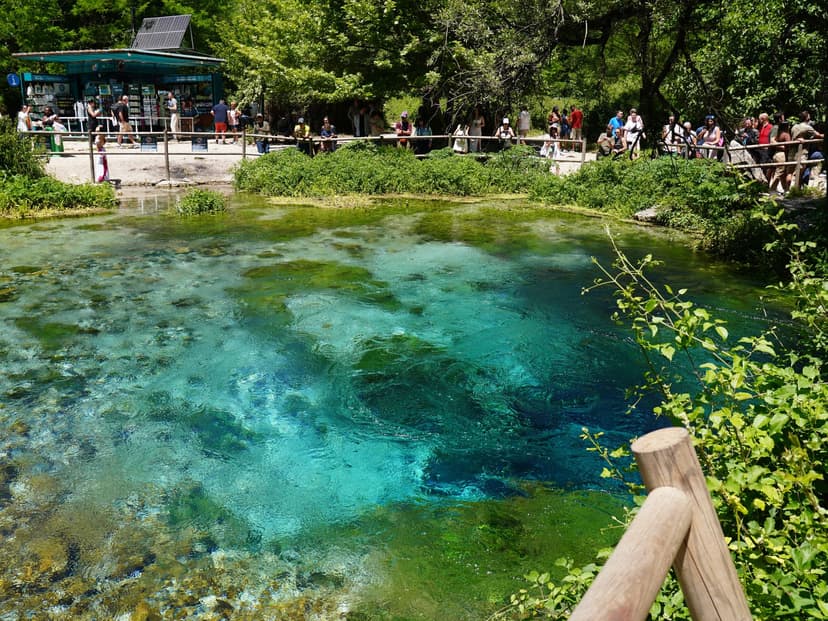
The Blue Eye of Sarandë | A short walk from the car park | Divers went down 50 m and found no bottom; swimming is not allowed |
Not ours either, and worth two days at the end of a Riviera week. Do the Blue Eye before nine in the morning, when the coaches from Sarandë have not arrived and the pool is still.
Dajti and Tirana
Tirana has a mountain on its doorstep, and a first or last day on it is the easiest walking in the country. The Dajti Ekspres cable car climbs 4.7 km in about fifteen minutes, closed on Tuesdays, and the summit path starts from the top station.
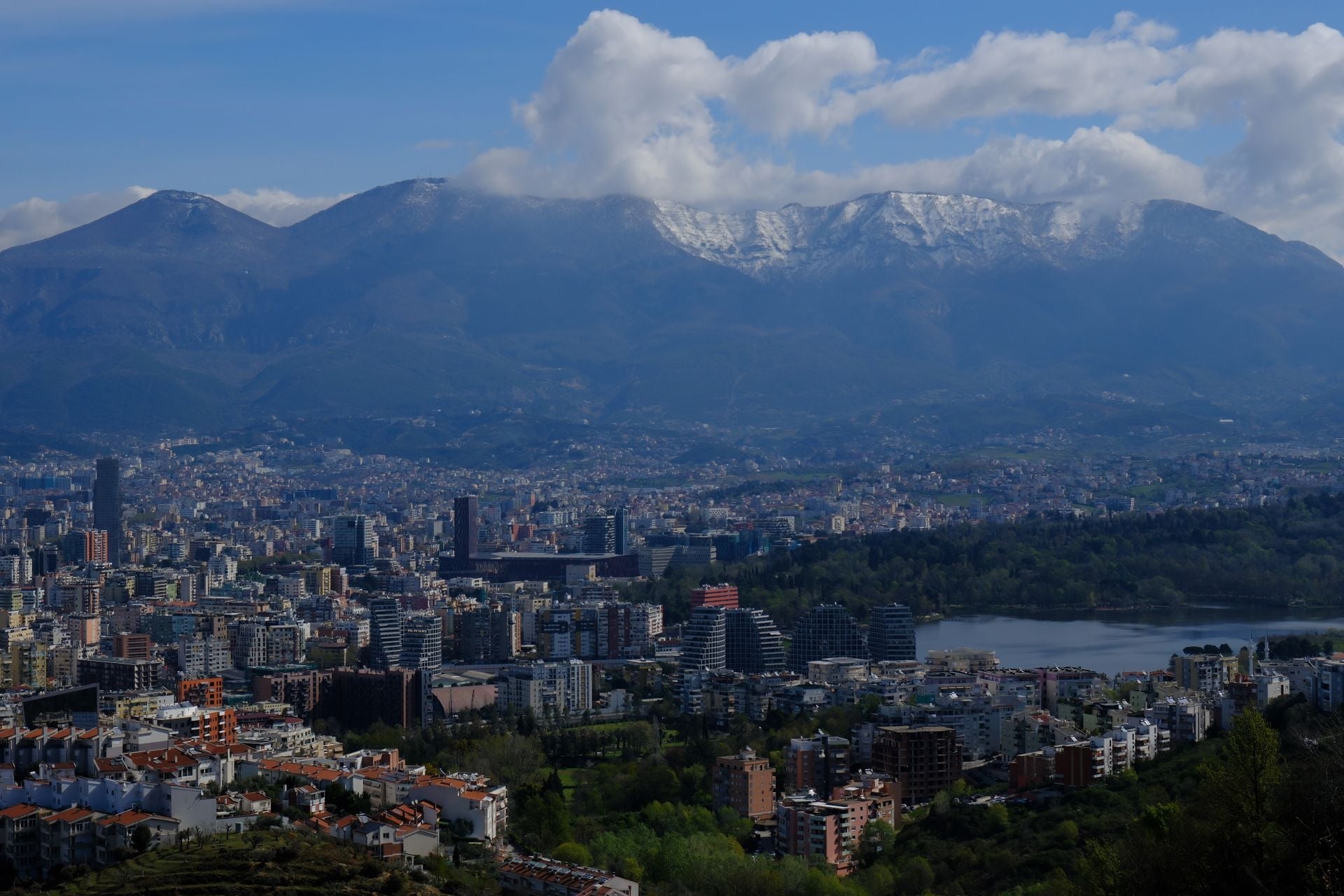
Walk | Time | Why |
Dajti summit from the top station | About 2 hours | 1,613 m, unmarked beyond the station, with the whole plain of Tirana below |
Pëllumbas cave from the village | 1 hour each way | A 360 m cave an hour above the Erzen gorge, bring a head torch |
Petrela castle | A half day | A hilltop fort rebuilt under Justinian, where Skanderbeg's sister was married in 1445 |
We do not arrange these. They fit the day your flight lands late, or the day it leaves late, and the cable car runs until early evening.
Places worth the detour
A few places that earn a night off the route, from the highest summit in the country to a spring at ten degrees. None of them are on our tour pages, which is the point: these are the detours.
How many days?
Albania is small, but its mountains are not joined up. There is no quick road between the Theth and Valbona valleys, and the Riviera is a long day's drive from the Alps, so the number of days decides the shape of the trip more than the budget does.
Days | Where | What fits |
Four | One valley | Shkodër, the Theth road, two walking days from the village: the Blue Eye and the Grunas canyon |
Five or six | The classic crossing | Shkodër, the Koman ferry, Valbona, the pass, Theth. The Albanian Alps tour is built on this shape. The Peaks of the Balkans Highlights tour swaps the second valley for the Montenegrin border |
A week | The Alps with a second range | The crossing plus Çerem and Dobërdol, or the Kelmend valleys. The Accursed Mountains tour fits here |
Ten days | Mountains and sea | The crossing first, then a car south through the Llogara tunnel to Himarë for the coast paths |
Twelve days | The whole loop | The Peaks of the Balkans in one go, three countries and one set of permits |
If you have the two weeks, the loop is the trip. Three borders, ten stages and every night in a guesthouse or a shepherd's hut, and we file the permits with the three police forces and have the guesthouses confirmed before you land. See the tour:
A day on the Riviera, hour by hour
A self-guided day on the coast works around two things: the car that moves your bag, and the heat. This is the Llogara ridge day from our Riviera tour, with the times as a guide rather than a timetable.
08:30. Breakfast done, the driver takes you and your bag up from Himarë to the Llogara Pass, an hour's climb to just over 1,000 m. The bag stays in the car and goes on to tonight's hotel.
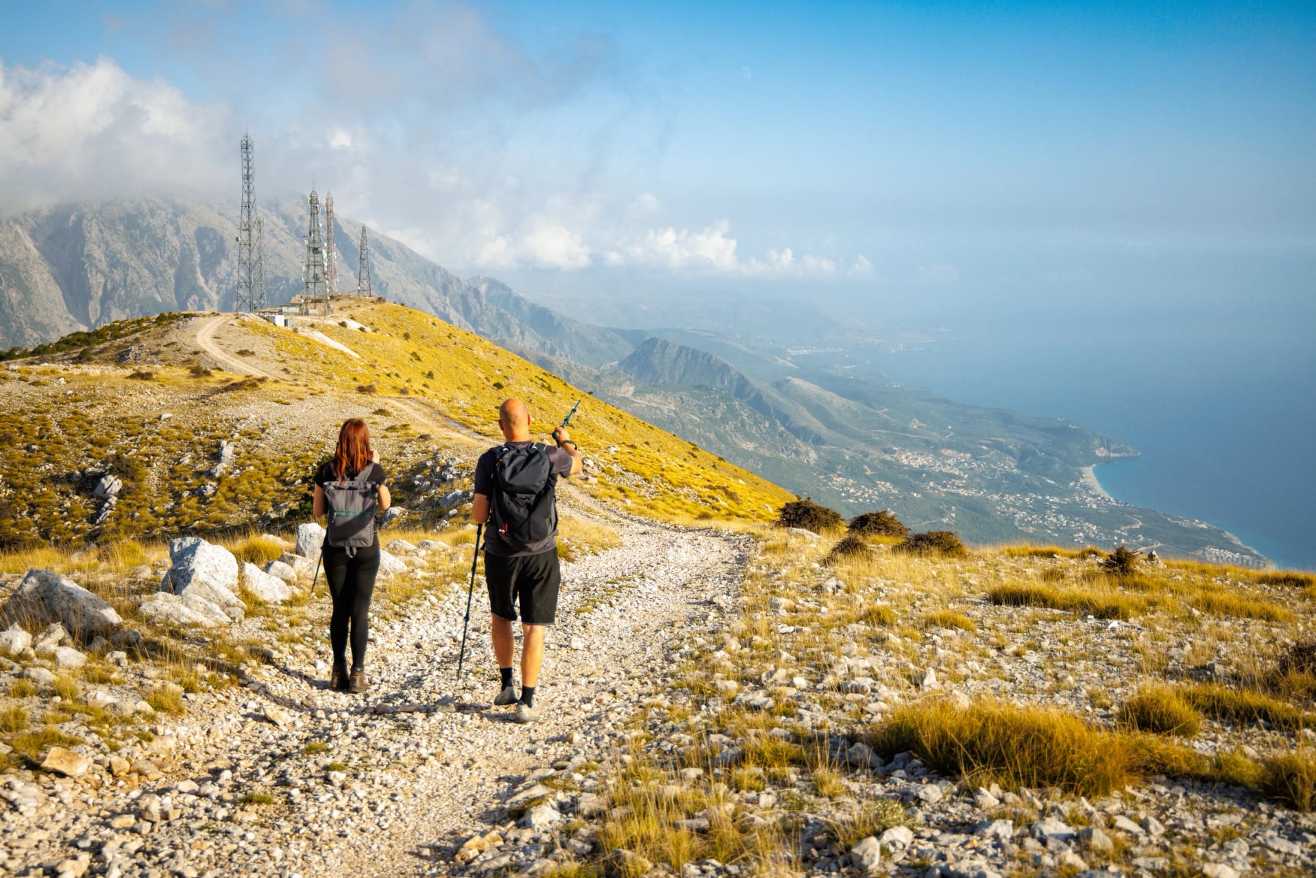
09:30. You set off on a broad track to the radio masts above the pass, with the sea already below you on the left.
11:00. A path runs west along the ridge to Maja e Thanasit, 1,352 m, with the whole Riviera laid out below, a short out-and-back to the top. Corfu sits on the horizon on a clear day.
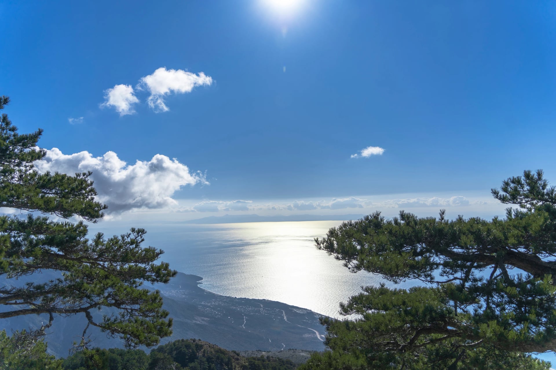
12:30. Lunch on the shoulder of Maja e Gjipalit, from your own pack. There is nothing to buy on the ridge and no water, so the two litres you carried up are the two litres you have.
13:30. The line drops through pasture and black pine. The waymarks thin out near Gjipali, so this is where you follow the GPS track we give you rather than the paint.
15:30. The path ends at the hotel door inside Llogara National Park, about 10.5 km with 400 m up and 600 m down behind you. Your bag is in the room.
Swap Himarë for Theth and the shape is the same: a guesthouse breakfast, a marked path, a packed lunch, and a bed you did not have to find. That is what self-guided means here.
Dates that shape a trip
A few dates move beds and prices more than the weather does. Check the next year's dates on the official pages before you fix a departure, as most are announced late.
Kala Festival, Dhërmi, first week of June. A week-long music festival that books out the village's beds months ahead. In 2026 it ran from 3 to 10 June and sold out in May; the 2027 arrivals are set for 2 to 4 June. Walk the Riviera the week after instead; the festival's dates are on its own site.
Logu i Bjeshkëve, Kelmend, second Sunday of August. The highland festival at the Predelec pass above Lëpushë, with a beauty contest, folk costume and a lot of sheep. In 2026 it fell on 9 August. Worth timing a Kelmend walk for, and the reason the Lëpushë guesthouses are full that weekend.
Tomorr pilgrimage, 20 to 25 August. Bektashi pilgrims climb Mount Tomorr to the shrine of Abbas Ali and camp on the mountain. A remarkable thing to see from the path, and the one week the Tomorr tracks are crowded.
Korçë Beer Fest, mid-August. Five days in Korçë, free entry, the biggest event in the south-east. In 2026 it ran from 12 to 16 August. Nothing to do with walking, except that the city's hotels are full.
Tirana Marathon, late October. The capital's roads close on race morning. The 2026 race was on 25 October.
Public holidays in the walking season. Two Easters (Catholic and Orthodox, a week apart in April), 1 May, Eid al-Adha on a lunar date in late spring, and 5 September for Mother Teresa. Shops and banks close, and a holiday that lands on a weekend moves to the Monday. The June to August stretch has none.
The Gjirokastër National Folk Festival runs every few years, and it is the biggest in the country. The last was in June and July 2023, so the next is expected in 2028.
Pack for two seasons
Any list for a week of self-guided walking in Europe covers most of it. These are the things Albania changes.
Cash, in lek or euros. There is no cash machine in Theth or Valbona, cards are rarely taken in the valleys, and Shkodër is the last reliable stop. A guesthouse night with dinner and breakfast is a modest cash sum, but a week of them adds up.
A filter bottle. The spring an hour above Valbona on the pass trail never dries, and the mountain springs are generally clean, but the filter means you can drink from any of them and skip the bottled water in the villages.
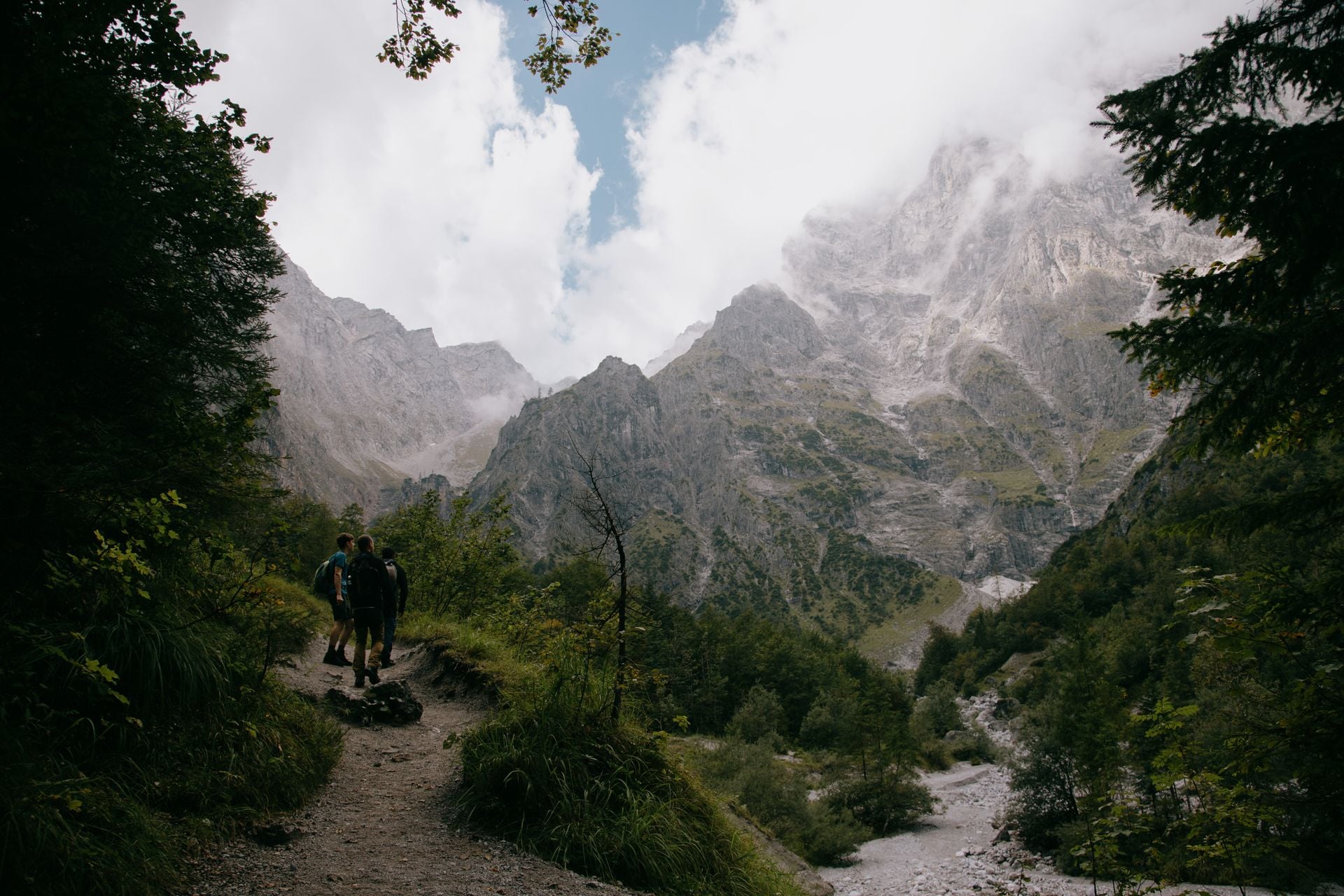
A warm layer for the pass, even in July. Theth's June nights average 11 C at 800 m, which puts the pass at around 5 C at dawn. Local guides tell their summer walkers to carry a fleece, and they are right.
Sun for the coast. The UV index runs at 8 or 9 from June to August. A hat, sleeves and two litres of water per person for a ridge like Llogara, where there is nothing to buy and no shade.
A power bank. Theth has a history of power cuts, and guesthouse sockets are shared. Download the maps and the GPS tracks before you leave Shkodër, as reception in both valleys is patchy.
Blister plasters and any medicine you depend on. The village shop in Theth is a mini market, not a pharmacy, and the nearest real one is in Shkodër or Bajram Curri.
What you can leave at home: a tent and stove (a guesthouse every night), poles if you do not already use them, and a paper map if you have the tracks on your phone and a power bank to keep it alive.
Rules of the path
Albania has no national grading of walks and no park ranger at the trailhead. The rules that matter are these.
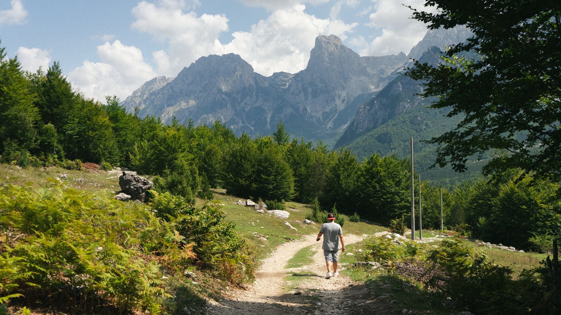
Follow the red and white. Paths are marked with red and white painted blazes, sometimes as close as every 50 m on the popular routes, with yellow signposts at the valley ends. The marking thins on less-walked stages, which is why we send a GPS track with every walk.
A border stage needs a police permit, requested at least a fortnight before you cross into Montenegro or Kosovo, and rangers do check. Our Peaks of the Balkans tours include them; the step-by-step procedure is in our guide to the Peaks of the Balkans trail.
Park fees are small or none. Theth National Park charges nothing to enter; the Blue Eye of Theth charges for parking, not for the spring. The Blue Eye near Sarandë has a small entry fee. Valbona may ask a small sum at a ranger post.
Fire season is April to October. The summers of 2024 and 2025 both brought serious wildfires to the south, with Llogara National Park threatened in July 2025. No open fires on the coast, and no smoking on the ridges in high summer.
Rescue is slow. The emergency number is 112. Albania has no professional mountain rescue service; a volunteer team was trained in 2022, and helicopters are limited by terrain and weather. Insurance that covers walking to 2,800 m and a helicopter evacuation is not optional here.
Dogs guard the flocks. Shepherd dogs on the high pastures do their job. Stop, do not run, let the shepherd call them off, and give the flock a wide berth.
Stay on the path near the Kosovo border. The UK Foreign Office still warns of landmines in the border zone from the 1999 war. The marked trail is cleared; the hillside beside it may not be.
Camping and drones. Wild camping is tolerated outside the core zones of the national parks, and there is a designated site by the church in Theth. Drone rules are unclear and contradictory in the sources, and the national park core zones are treated as no-fly: if in doubt, leave it on the ground.
Why the trails were empty until 1991
From 1944 to 1990 Albania was the most closed country in Europe. The few foreign tours that ran from the 1970s were handled by the state agency Albturist, kept to fixed itineraries and watched. The right to travel abroad came back in May 1990, foreigners could visit freely from later that year, and relations with the United States were restored in March 1991. The mountains along the borders were the most watched of all, which is why the valleys you walk through now were empty of visitors for half a century.
The bunkers are the regime's signature: state archives released in 2014 count 173,371 built by 1983, of 221,143 planned. You will pass them on the Theth road, in the pastures above Valbona and on the beach at Gjipe, and the mushroom domes are the only thing in the landscape that is not stone or wood.
The guesthouses are the other half of the story. Theth got its first road in 1936 and electricity in 1966, and the one state hotel complex, built in 1968 for Albanian families, has been a ruin since 1991. When walkers came back, they came to private houses: Valbona's first guesthouse opened in 1992, and the Peaks of the Balkans trail was planned from 2009 as a way of putting money into mountain families' pockets rather than hotels. So you sleep in a family's house, eat what they cook and pay in cash, and that is not a shortage, it is the design.
Two words explain the welcome. Besa is the given word, the promise that binds a host to a guest under the Kanun, the mountain law written down in 1933. And the kulla, the windowless stone tower in Theth, is where men hid in a blood feud a century ago, when Edith Durham found the village otherwise almost free of them.
Getting there and around
Everything starts in Tirana, the only international airport. British Airways flies from Heathrow, Ryanair from Stansted, Manchester, Edinburgh, Liverpool and Birmingham, and Wizz Air from Gatwick and Luton. From the United States there is no nonstop; Rome, Istanbul and Vienna are the usual connections. UK, EU, US and Canadian passports need no visa for a walking holiday, and a UK passport must be valid for three months after you leave.
From | To | How |
Tirana airport | Tirana centre | Public bus every hour, around the clock, 30 to 40 minutes |
Tirana airport | Shkodër | Shuttle buses from the terminal and from Tirana, about 2 hours |
Shkodër | Valbona | Minibus, the Koman ferry and a van, about six hours door to door, one departure a day |
Shkodër | Theth | Minibus twice a day on 76 km of paved mountain road, about 2 hours |
Tirana | Himarë | Coaches several times a day via the Llogara tunnel, 3 to 4 hours |
Vlorë | Himarë | Bus at 10:00 and 12:30, about 2.5 hours |
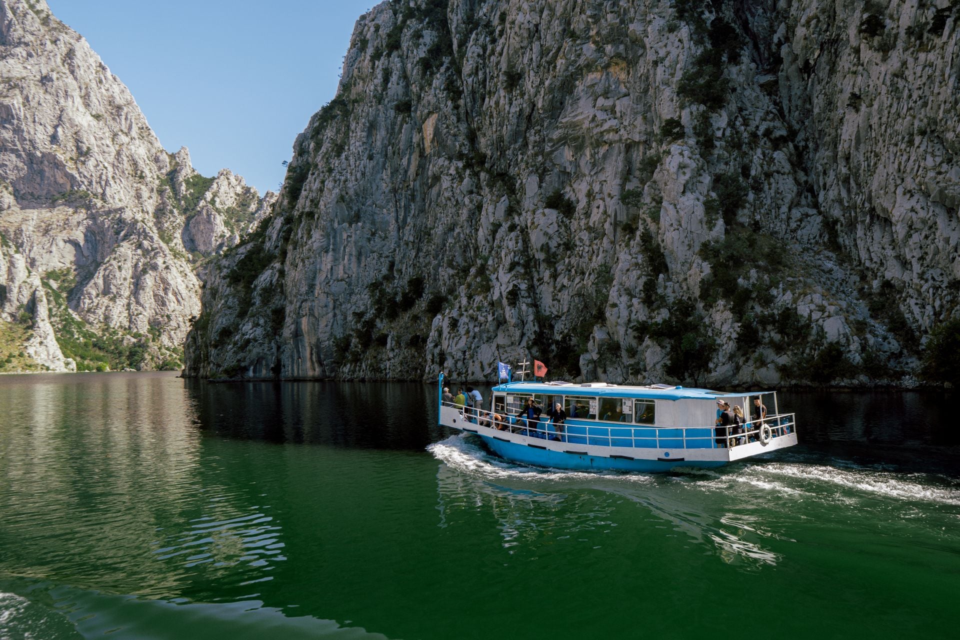
The Koman ferry is the one leg to book ahead: it runs daily from mid-April to early November and fills in July and August, and one company runs the ferry and the connecting minibuses from a single timetable page. The departure times for both valleys, in both directions, are in our Valbona guide above, so they are not repeated here.
You do not need a car for the Alps: there is no road between the two valleys, the shuttles run to the ferry's timetable, and the Theth road is single lane with passing places. On the Riviera a car helps, as the coast buses are few and the trailheads are spread along 60 km of road. For the Via Dinarica and the High Scardus Trail, which we do not sell, the way in is through Kosovo, and a UK passport gets 90 days there too.
Plan your Albania hike
Tell us the month you can travel and whether you want the pass or the sea, and one of our agents will come back with a route that fits the season, with the guesthouses confirmed and the transfers timed to the ferry. Write to us through the inquiry form, or book a call and talk it through first.
Frequently Asked Questions

Plan with a hiking expert
Free advice from a team that knows these routes inside out - real people, not a bot

HASSLE-FREE
We handle itineraries, accommodations, and anything else you prefer not to deal with, so you can enjoy a carefree hike.

BOOK WITH CONFIDENCE
We are a financially protected company, fully bonded and insured, keeping your money safe and allowing you to travel with confidence.

TRIED & TESTED ADVENTURES
Only the best hiking tours in Albania, cherry-picked by our team with an in-depth knowledge of the region.

UNBEATABLE SUPPORT
Our 24/7 customer support is where we show our passion, bringing you a better experience by making your well-being our number one priority.