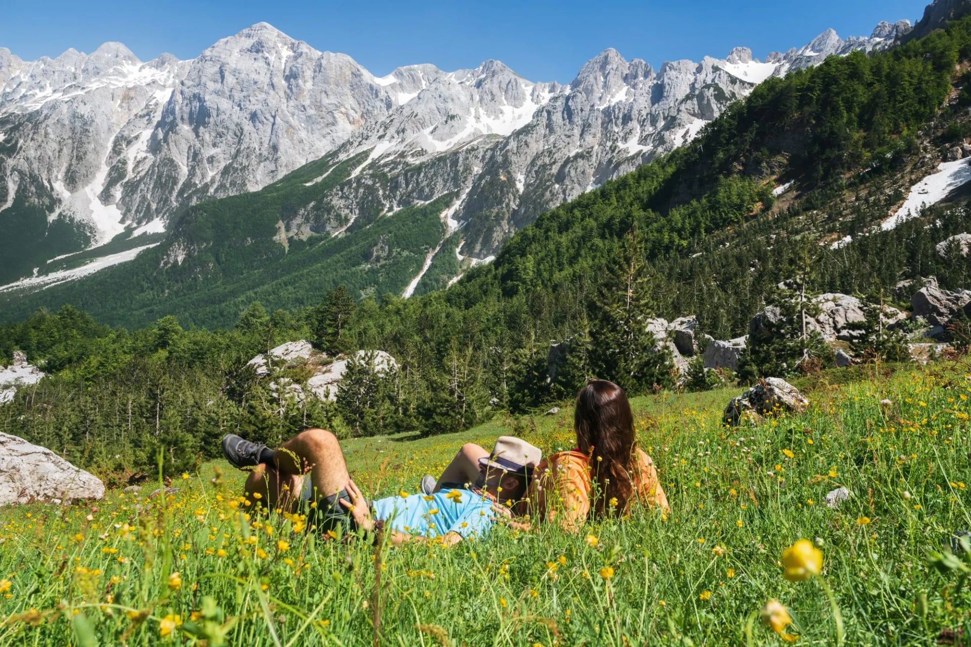
Top 5 Hikes in Valbona
Where to hike and stay in Valbona Valley National Park, in the Albanian Alps: five day hikes from the Rragam waterfall to Maja Rosit, and the best months to go.
Don't want to read all this?
We've planned 2,000+ hiking trips. Send your dates, fitness and group size — we'll map the route and book every night.



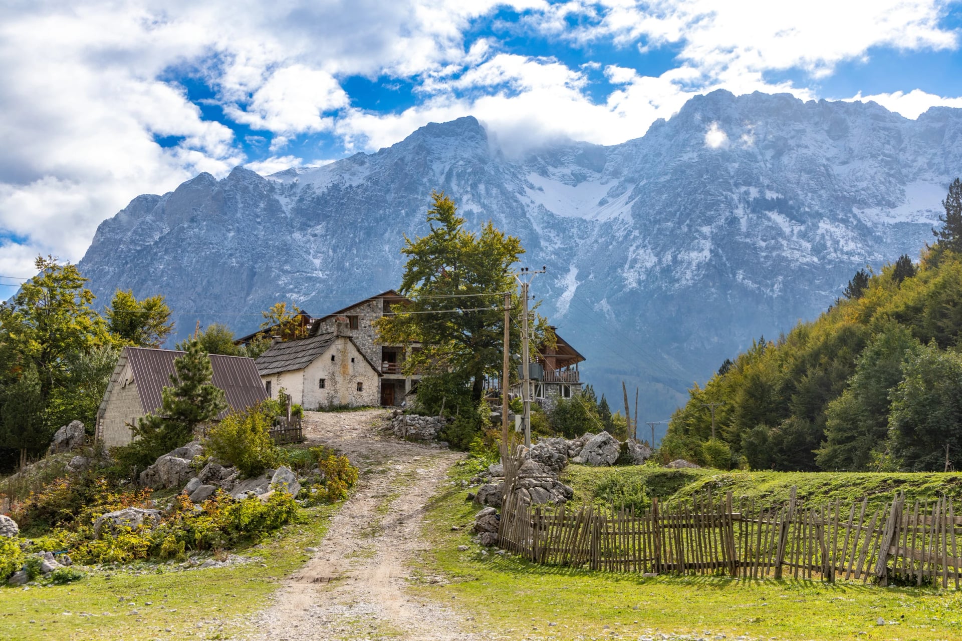
Valbona is a glacial valley in the Albanian Alps, in Albania's far north-east, about 30 km long from the town of Bajram Curri to the hamlet of Rragam, where the road gives out. Limestone climbs about 1,750 m from the village, at 930 m, to the top of Maja Jezercë, the Albanian Alps' highest at 2,694 m. Above the village the river sinks into its gravel for about 5 km, which leaves a wide bed of dry white stones with guesthouses along its banks.
People come here to walk. Most know the valley as one end of the crossing to Theth and give it a single night, yet the slopes behind those guesthouses hold everything from a shaded forest path to a 2,525 m summit on the Montenegrin border. Below are the five we would pick, then the park, where to sleep and how to get in.
Valbona in a Few Facts
The river runs about 50 km, the longest in the Albanian Alps, down to the Drin.
A glacier 9.5 km long cut the valley's U shape, and two tiny ones survive under Jezercë.
Four villages hold about 850 people: Dragobi, Valbonë, Çerem and Rragam.
No cash machine above Bajram Curri, so bring lek for the guesthouses.
No road crosses to Theth, so the only direct way over is on foot.
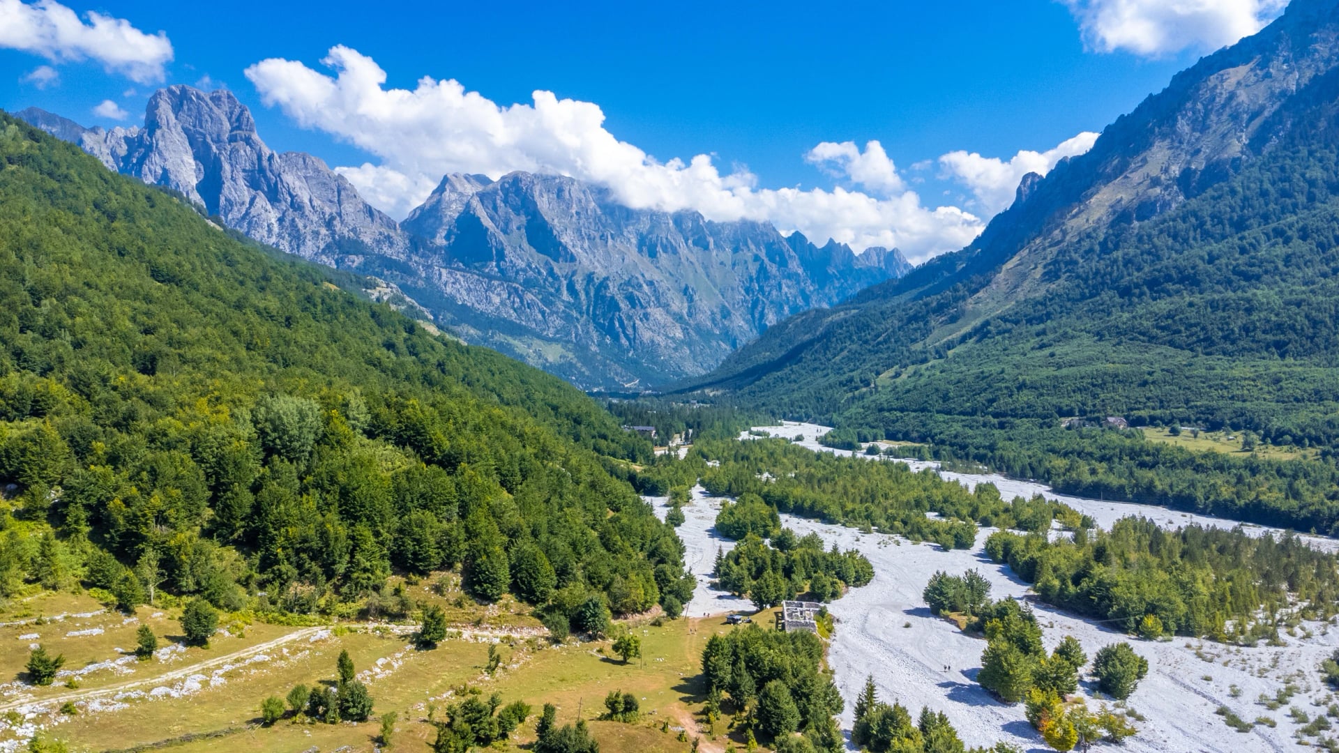
Valbona Hiking Map
This map shows the five hikes below, from the waterfall above Rragam to Maja Rosit on the Montenegrin border. Save it to your phone before you leave the guesthouse, because signal fades above the village. Blue is the waterfall, green the plateau loop, orange the pass, purple the border walk and red Maja Rosit.
Top 5 Day Hikes in Valbona
You can walk all five as day hikes from a bed in the valley, and they differ in how much they climb, so they run easiest first. We don't offer day hikes on their own: our tours combine them into a longer route. Figures are for the whole outing and come from trail maps and our own tour tracks.
Hike | Distance and climb | Effort |
Rragam Waterfall Hike | 4 km, 230 m | Easy |
Kukaj Plateau Loop | 7 km, 660 m | Moderate |
Rragam to the Pass | 7.5 km, 650 m | Moderate |
Montenegro Border Walk | 14.5 km, 1,150 m | Hard |
Maja Rosit Summit | About 20 km, 1,600 m | Very hard |
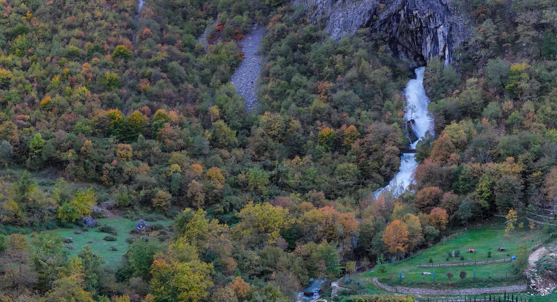
Rragam Waterfall Hike
Distance: about 4 km there and back
Climb: about 230 m
Time: about 2 hours
Start: the cafés at Rragam
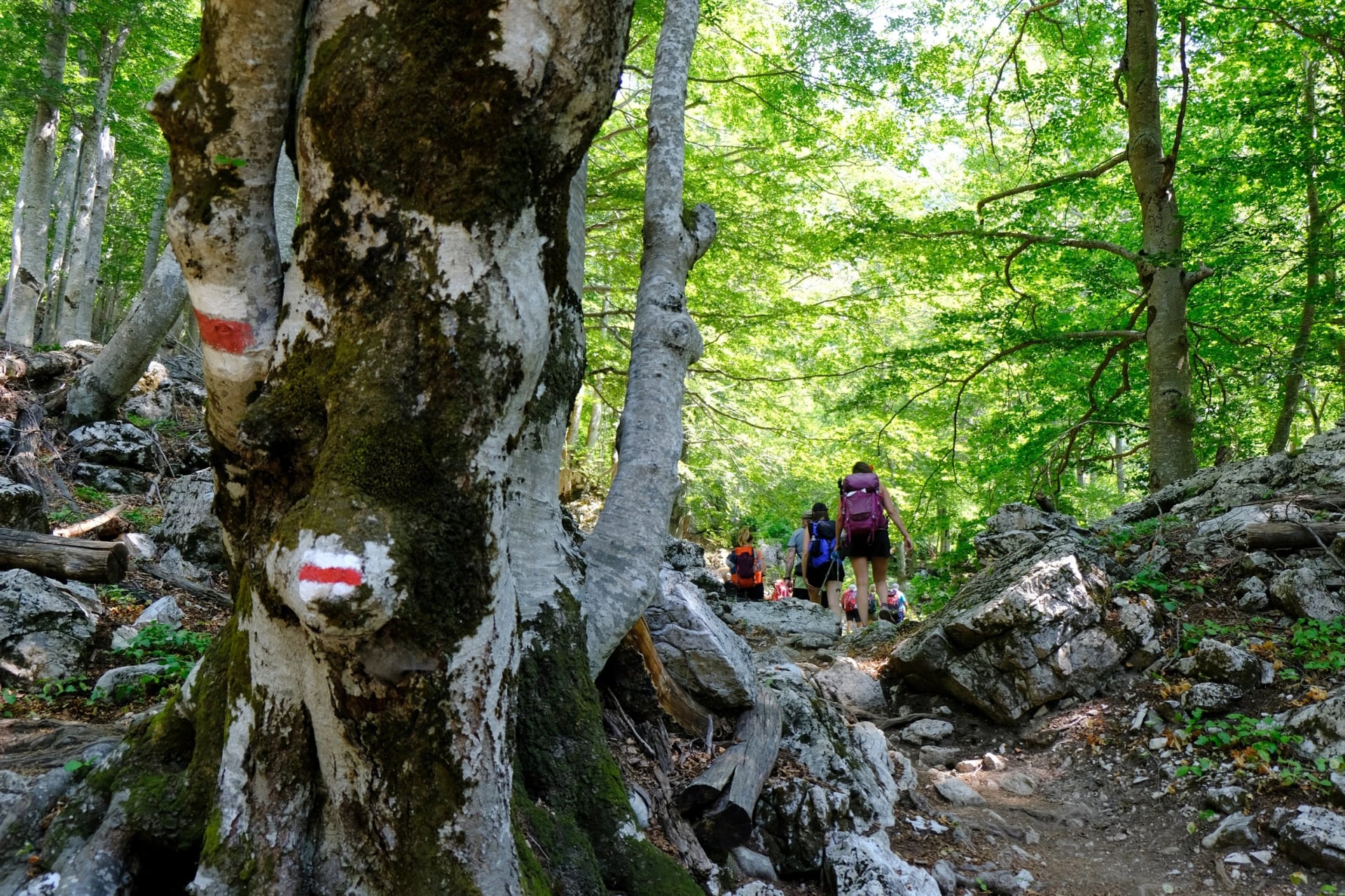
This is where the Valbona begins, as spring water pouring from the rock and dropping into cold pools. Beech forest shades the path all the way, so it suits a hot afternoon or a rest day. Sources put the fall anywhere from 15 to 50 m. Take a 4×4 to Rragam, as the dry riverbed adds 3.3 km of loose stones each way.
Kukaj Plateau Loop
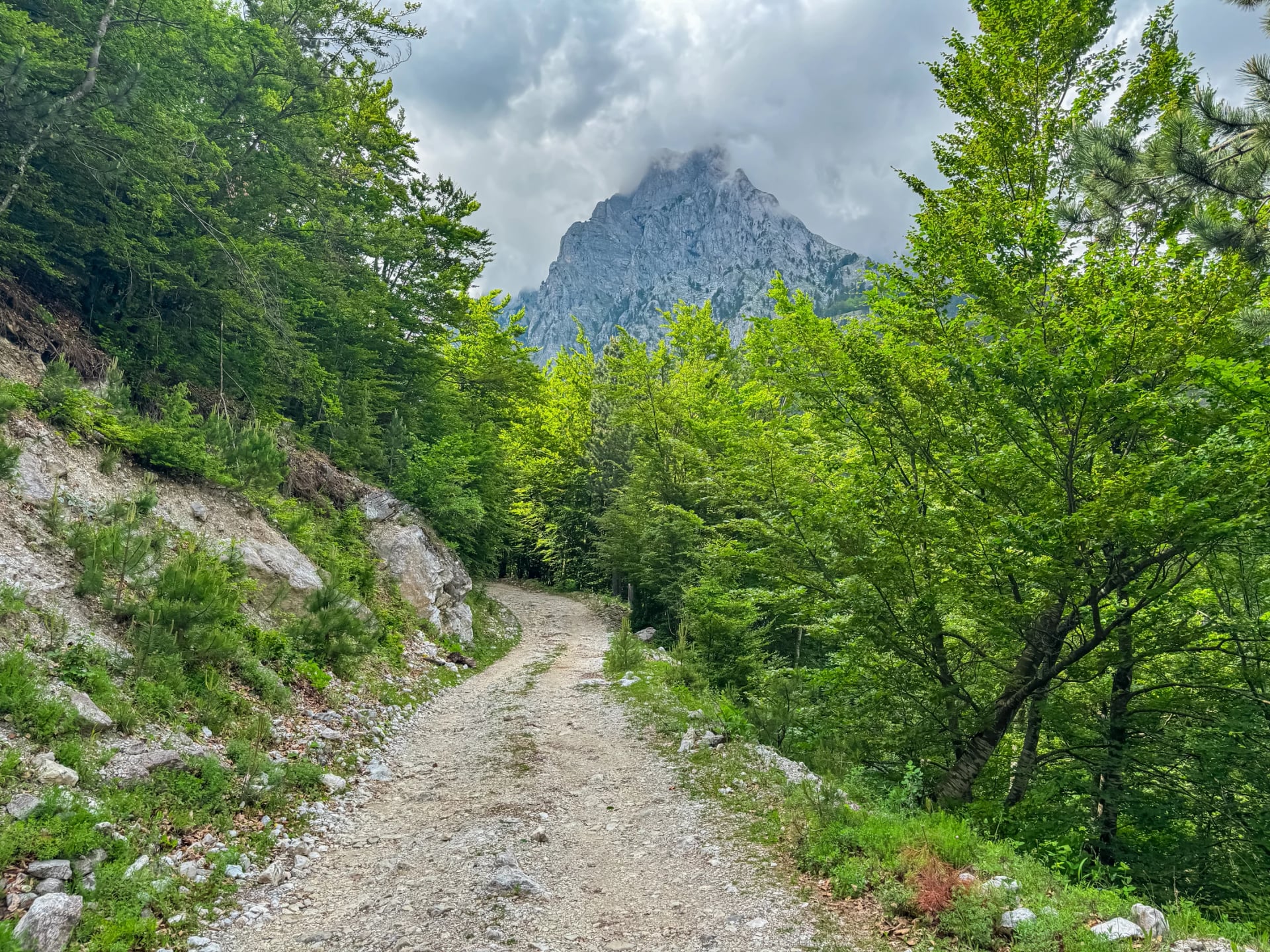
Distance: 7 km round the loop
Climb: 660 m
Time: about 4 hours
Start: Valbonë village
Give this one your spare day. The path heads for the hamlet of Kukaj, then turns steeply uphill to a plateau at about 1,550 m with the valley floor laid out below and the far wall opposite. Going down, an eastern path traverses the slopes back to the village, so nothing is walked twice. Recorded tracks run up to 9 km, depending on where your guesthouse sits.
Rragam to the Pass
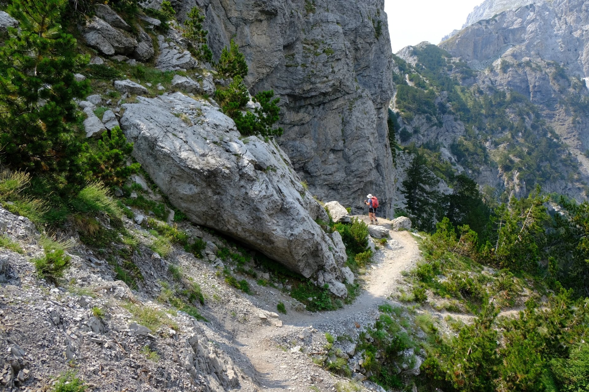
Distance: about 7.5 km there and back
Climb: about 650 m
Time: 5 to 6 hours
Start: the cafés at Rragam
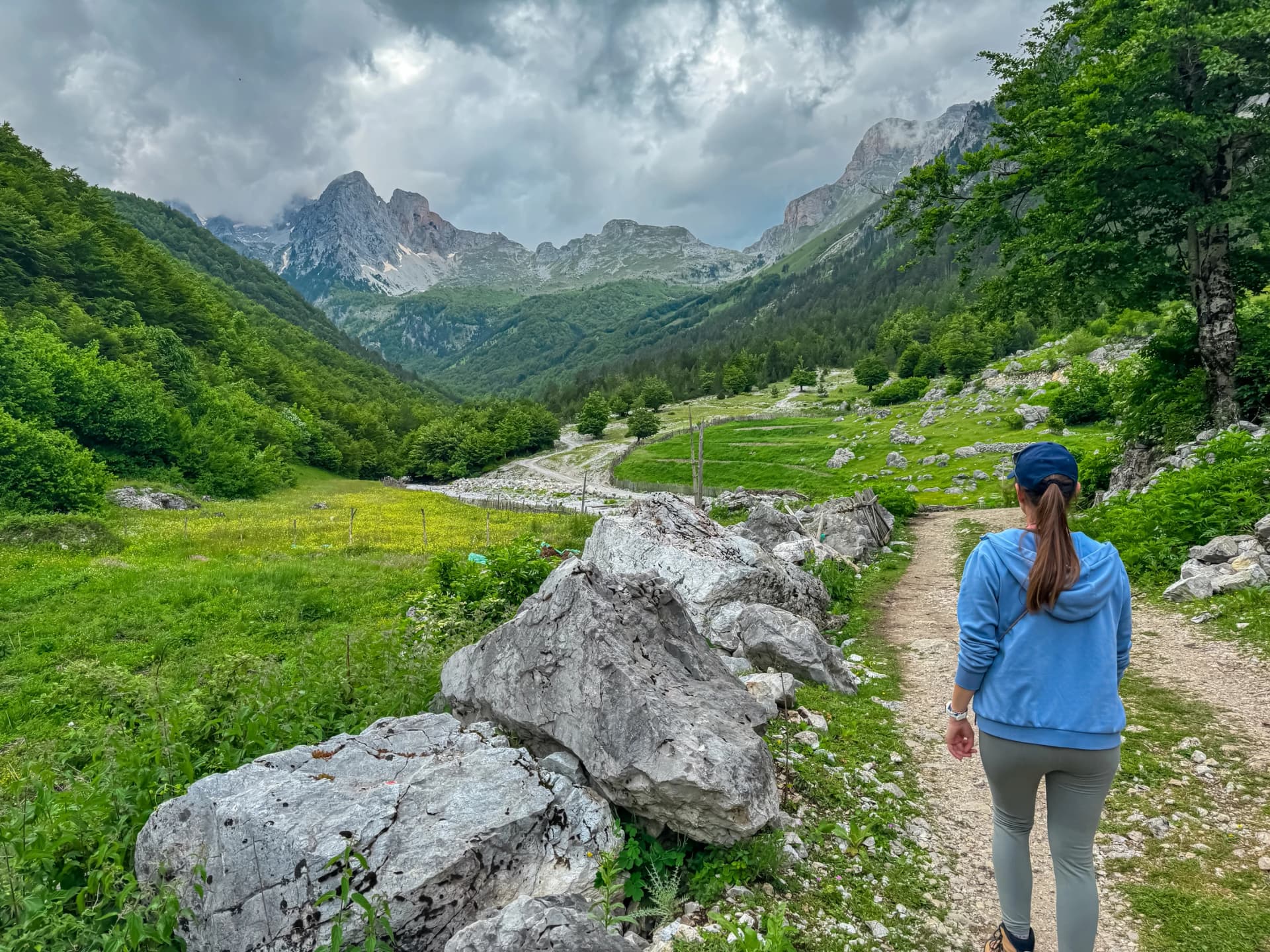
Qafa e Valbonës, at 1,795 m, is the saddle most visitors come for. Turn round at the top and you still get the view into the Theth valley, with a day pack and your own bed that night. Starting from the last asphalt makes it about 15 km and 900 m. Going on to Theth is a bigger day, covered in our guide to the Valbona to Theth hike.
Montenegro Border Walk
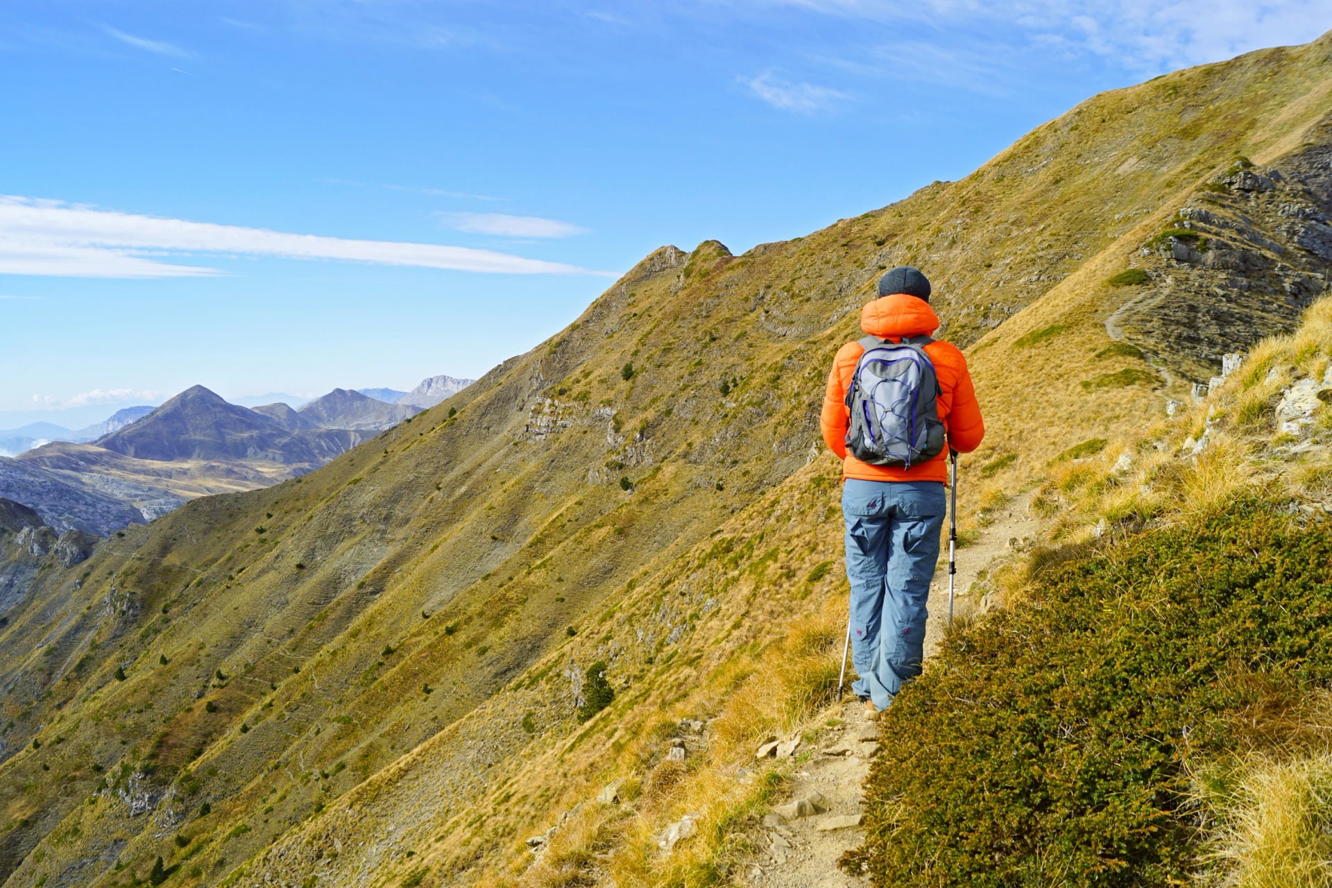
Distance: 14.5 km there and back
Climb: 1,150 m
Time: 6 to 7 hours
Start: Valbonë village
Few walkers come this way. Beyond Kukaj the path crosses meadows to a shepherd's hut at 1,650 m, once an army barracks under communism, then climbs to an old border pyramid at 2,040 m. Zla Kolata, at 2,534 m the highest peak in Montenegro, rises right beside you, and that saddle is your turning point. Going further means a border permit, and our Peaks of the Balkans guide explains how it works.
Maja Rosit Summit
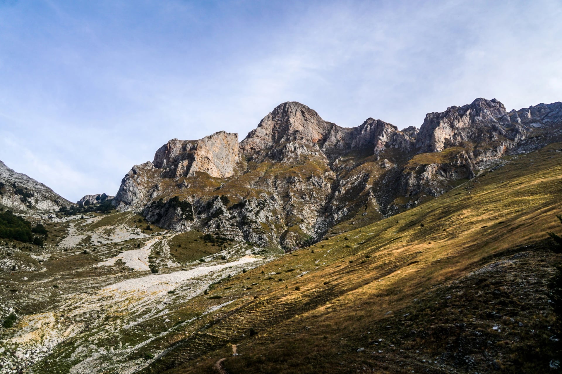
Distance: about 20 km there and back
Climb: about 1,600 m
Time: 9 to 10 hours
Start: Valbonë village
Maja e Rosit is the valley's big mountain day, for fit walkers who are steady on loose rock. After Kukaj, woods of beech and pine give way to pasture and summer cabins, then bare slopes with no signs and no water. Leave at first light between late June and September, carry the route offline and hire a local guide if you have not navigated without waymarks. Tracks range from 17 to 21 km, depending on the start.
Valbona Valley National Park
Signs and older maps still say Valbona Valley National Park, so it helps to know what changed. Albania declared the park in January 1996 over about 8,000 ha. In January 2022 it merged with Theth and the Gashi River reserve to form the Alps of Albania National Park, 82,844 ha in all, according to Albania's National Agency of Protected Areas.
Forest covers about 89% of the old park. Brown bear, grey wolf and lynx live in it, 145 bird species have been recorded, and chamois keep to the high ground, so the border walk and Maja Rosit give you the best chance of one. We found no permit or entry fee for walkers on the agency's pages, though a ranger post may ask a small sum, so carry some lek.
Best Time to Hike in Valbona
June to September is the season for all five hikes. Modelled 1991 to 2020 averages for the village give highs of 22 to 25 °C and lows of 12 to 16 °C in those months, with 110 to 150 mm of rain a month. Snow can lie on the pass and the high ground into mid-June, so keep the pass, the border and Maja Rosit for later in the summer. Come in June if the Rragam waterfall is your aim, when snowmelt makes it fullest.
Where to Base Yourself
Your base decides how much of each hike is walking and how much is waiting for a lift. Guesthouses run the length of the valley, and from the bottom up the choice looks like this:
Dragobi, about 560 m: the first village above Bajram Curri, with a walk of about 11 km up to Valbonë.
Valbonë, about 930 m: our pick, with the most guesthouses, and three of the five hikes leave from here.
Kukaj, about 1,150 m: a hamlet 3 km above Valbonë, on foot or by 4×4, and a head start for the border and Maja Rosit.
Rragam, about 1,170 m: the road's end, a stony 4×4 ride from the last asphalt, with the waterfall and the pass on the doorstep.
Çerem, about 1,150 m: a side valley on the Peaks of the Balkans trail, for walkers heading on to Dobërdol rather than these five.
How to Get There
Getting in takes most of a day whichever way you choose, so plan your first night around it. The classic way comes in three connected legs:
Shkodër to Koman: the early van, about 2 hours.
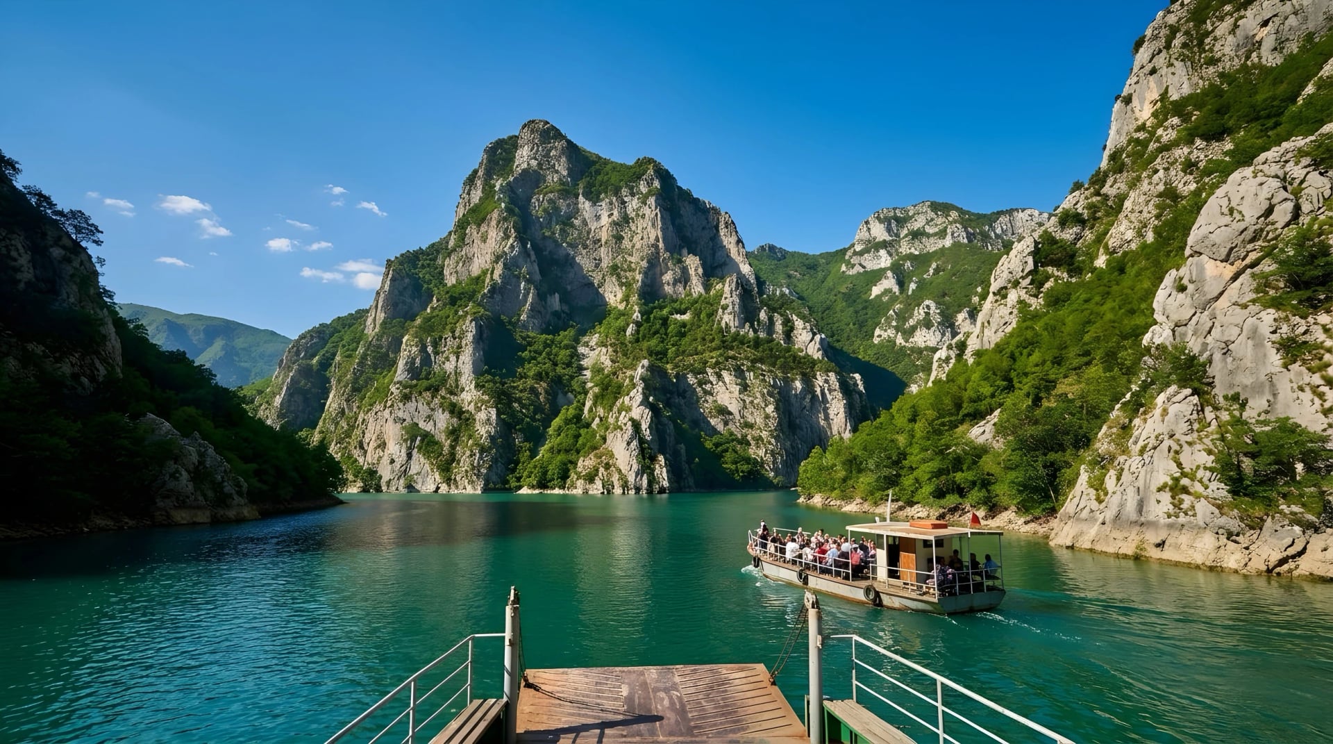
Koman to Fierzë: the Koman Lake ferry sails at 09:00 from mid-April to early November and takes about 2.5 hours through a flooded gorge.
Fierzë to Valbonë: a van meets the boat, about an hour.
Road travellers come through Bajram Curri from Kosovo or Kukës, and that is the only way once the ferry stops for winter. Asphalt runs about 30 km up the valley to Fusha e Gjesë, and only a 4×4 or your feet go further.
One missed link costs you a full day. Prefer it booked? On our Albanian Alps Hiking Tour, we handle the ferry seats and the vans before you land.
One Night Is Not Enough
Most walkers cross the pass and leave, so they never see the plateau or the border. Two or three nights give you the walks above Kukaj and a spare day if the weather closes the top. Our agents can fit those nights to your dates through the inquiry form. Would you rather talk it through? Book a call with one of us.
Want the border and the plateau without juggling any of it? Our Accursed Mountains tour settles you in one Valbona guesthouse and sends you up both from the door, then over the pass to Theth, with breakfast and rooms booked, the routes in an app and someone to call if the weather changes your plans. Take a look:
Frequently Asked Questions



Plan with a hiking expert
Free advice from a team that knows these routes inside out - real people, not a bot

HASSLE-FREE
We handle itineraries, accommodations, and anything else you prefer not to deal with, so you can enjoy a carefree hike.

BOOK WITH CONFIDENCE
We are a financially protected company, fully bonded and insured, keeping your money safe and allowing you to travel with confidence.

TRIED & TESTED ADVENTURES
Only the best hiking tours in Albania, cherry-picked by our team with an in-depth knowledge of the region.

UNBEATABLE SUPPORT
Our 24/7 customer support is where we show our passion, bringing you a better experience by making your well-being our number one priority.