Valbona to Theth Hike over Valbona Pass - Which Way to Go?
Valbona to Theth, or Theth to Valbona? Which way to cross the Valbona Pass, when the snow lets you, and how the ferry day fits in front of it.
Quick links
Don't want to read all this?
We've planned 2,000+ hiking trips. Send your dates, fitness and group size — we'll map the route and book every night.



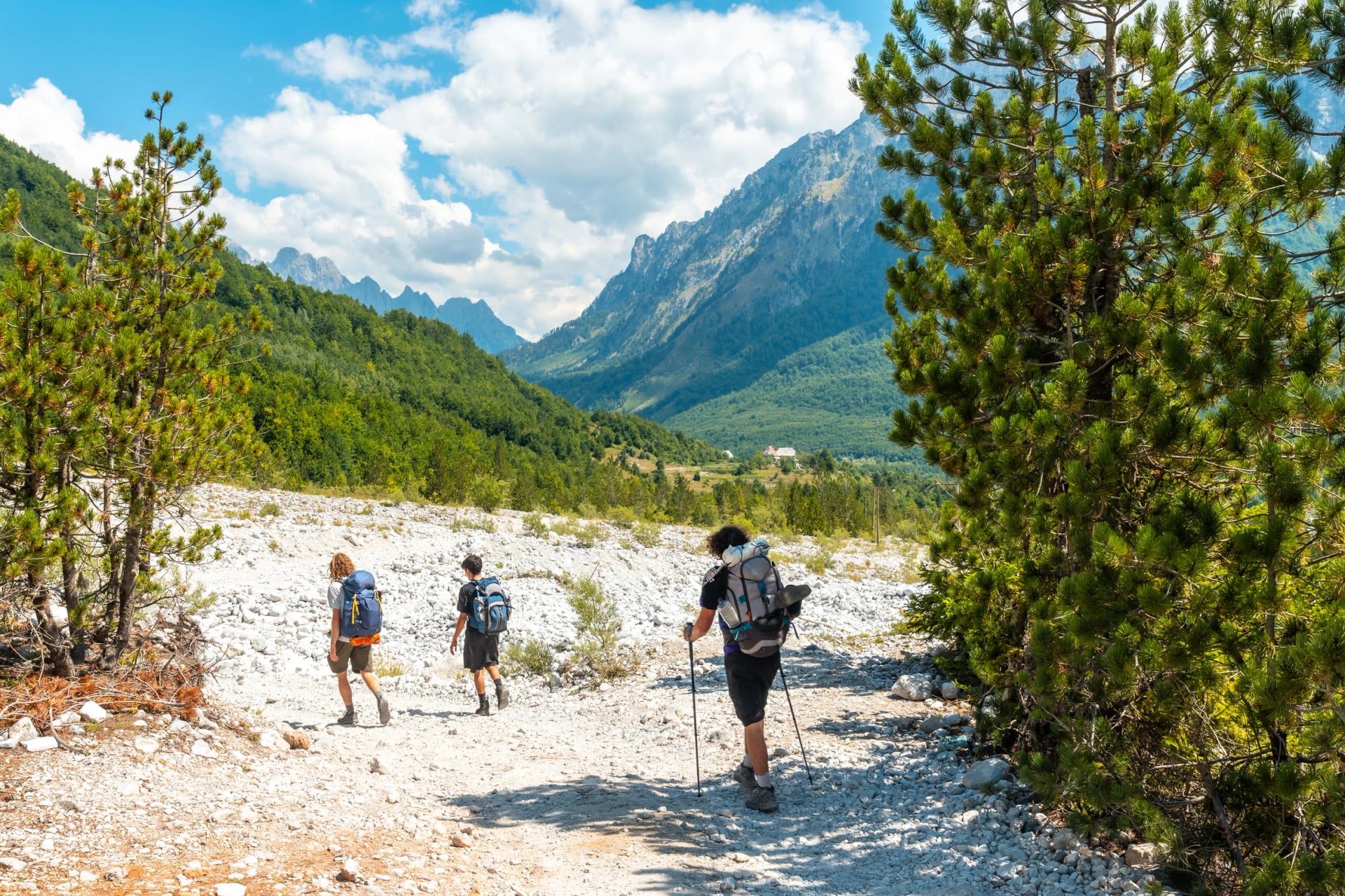
The Valbona to Theth hike links two valleys in the Albanian Alps that have no road between them. By car the trip round via Shkodër takes most of a day. On foot it's one long day over the 1,795 m Valbona Pass, and the walk is the shortest way from one valley to the other.
This guide covers the route in both directions, how hard it is, and when the snow clears. It also gives the Koman ferry and van times, what to do with your luggage, and where to stay at each end. If you only want the view, there's a there-and-back walk to the pass from Theth too.
The Crossing in Numbers
Trail: about 14 km between the road-ends, 17 to 19 km from village to village
High point: the Valbona Pass (Qafa e Valbonës), 1,795 m
Climb: about 650 m from the Rragam trailhead, about 1,050 m from Theth
Time: 6 to 8 hours on foot, one way
Waymarks: red and white paint, with yellow signposts at each end
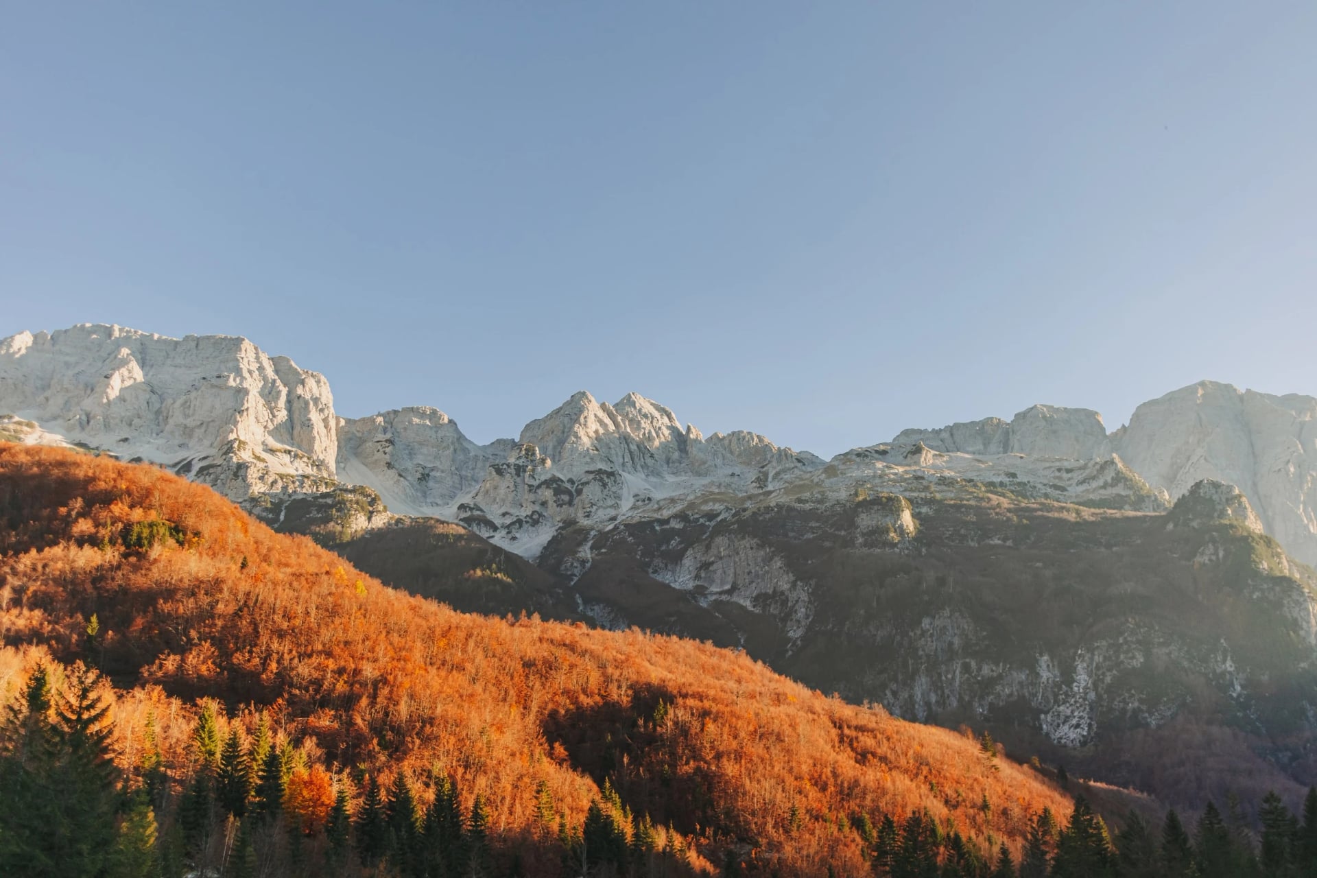
Season: usually mid-June to the first snow in October
The official Peaks of the Balkans stage from Theth gives 13.9 km, with 1,068 m of climbing and 792 m of descent.
Map
The figures in blogs range from 12 to 19 km, depending on where each writer started: the car park at Rragam, a guesthouse in Valbonë or the church in Theth. The map above shows the crossing from Rragam to Theth, with the valley walks on either side.
The Route, Section by Section
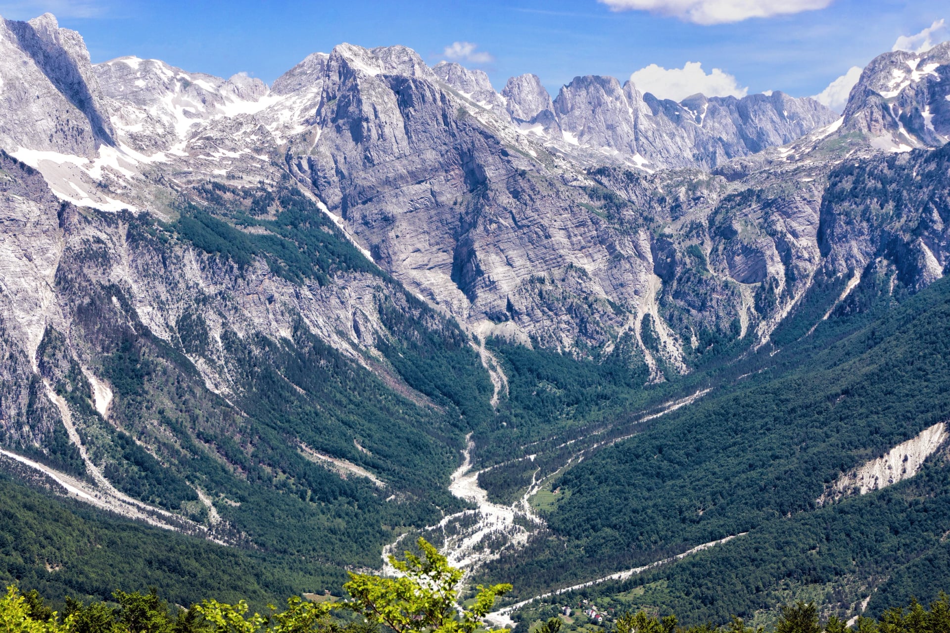
The walk starts at the head of the Valbona valley, at the hamlet of Rragam. Guesthouses in Valbonë sit anywhere from the car park to about 7 km down the valley, so most walkers take a 4×4 for the first stretch, about 30 minutes up the stony riverbed. Distances below are measured from the cafés at Rragam on a recorded track, rounded.
1. Rragam to Simoni Café
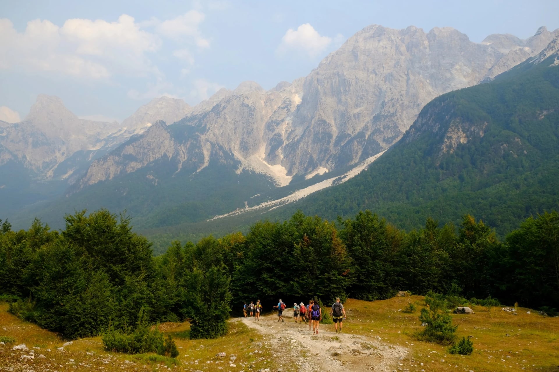
Distance: about 1.5 km from Rragam
Height: 1,170 to 1,450 m
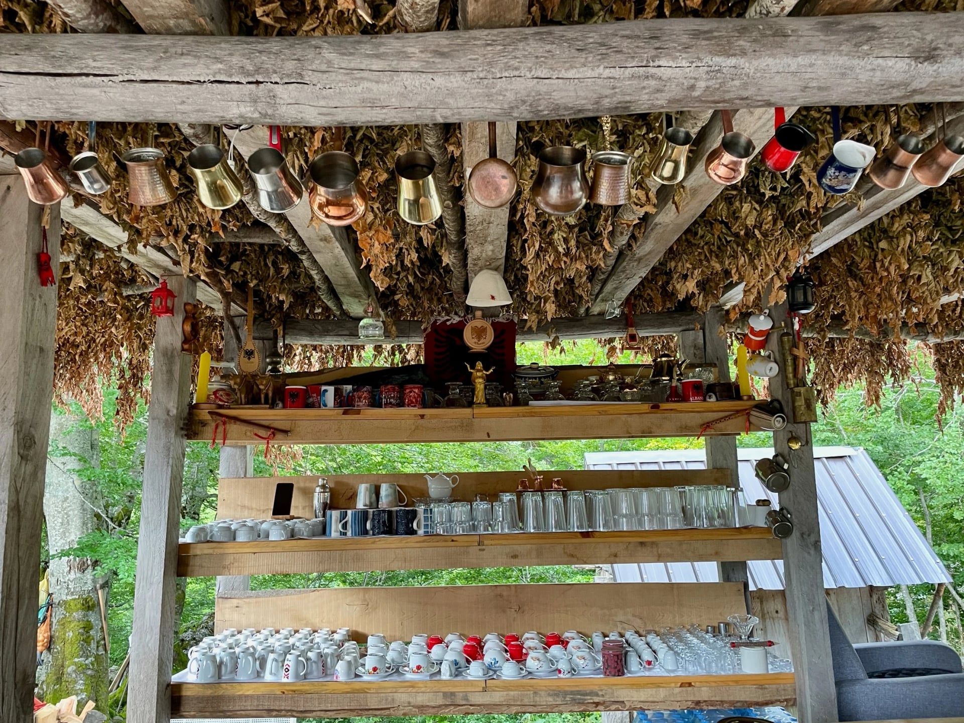
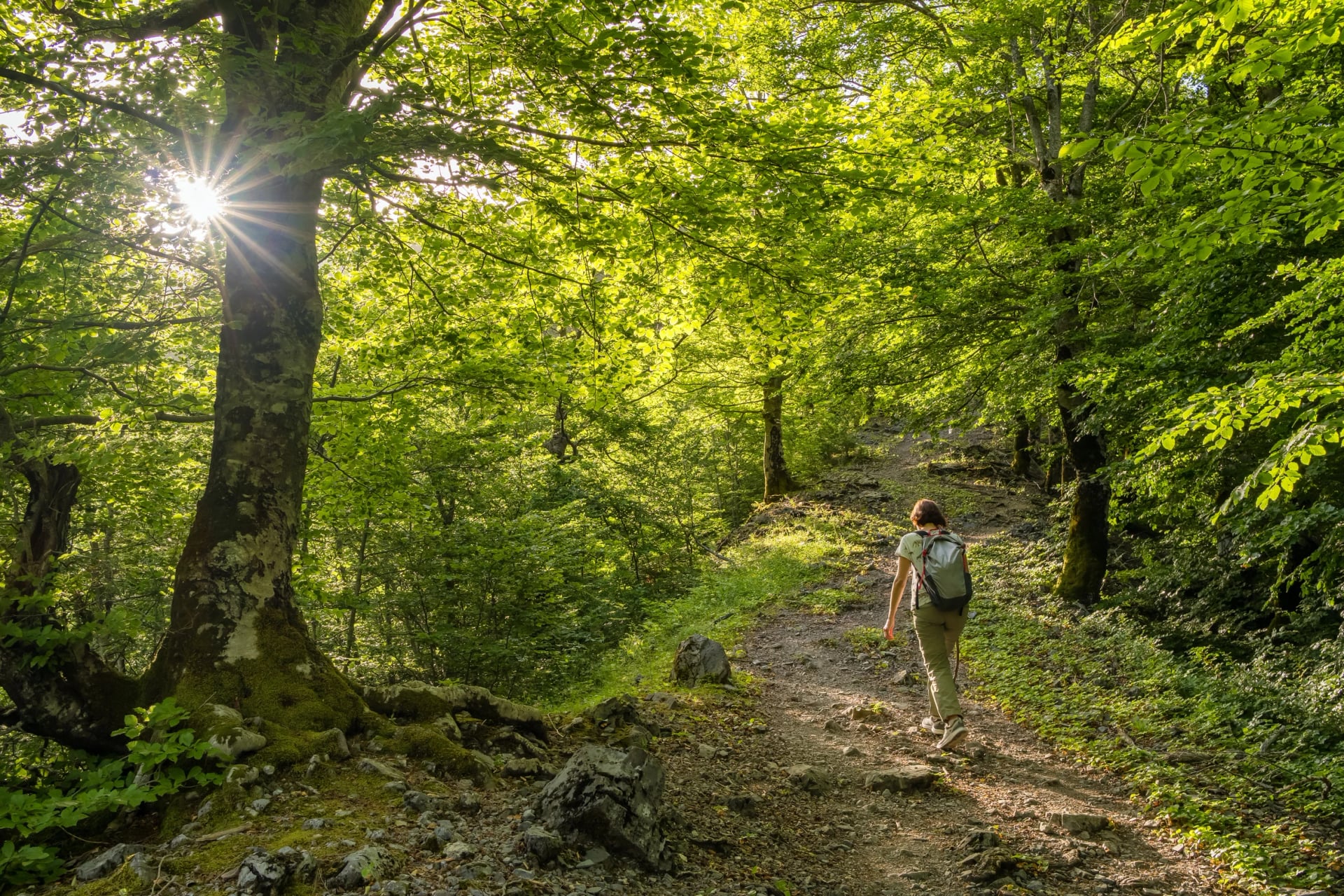
The path climbs in switchbacks through beech forest, in shade most of the way, to Simoni Café at about 1,450 m, a hut that sells cold drinks.
2. Simoni Café to the Valbona Pass
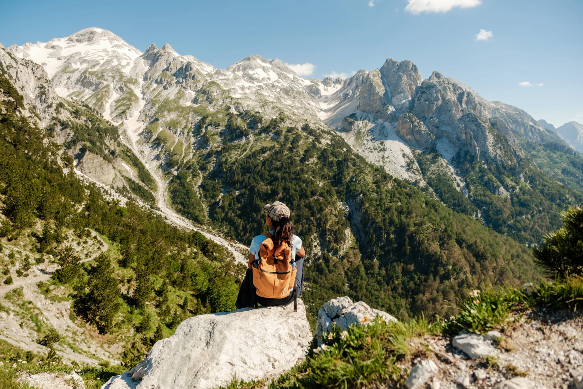
Distance: about 3.7 km from Rragam
Height: up to 1,795 m
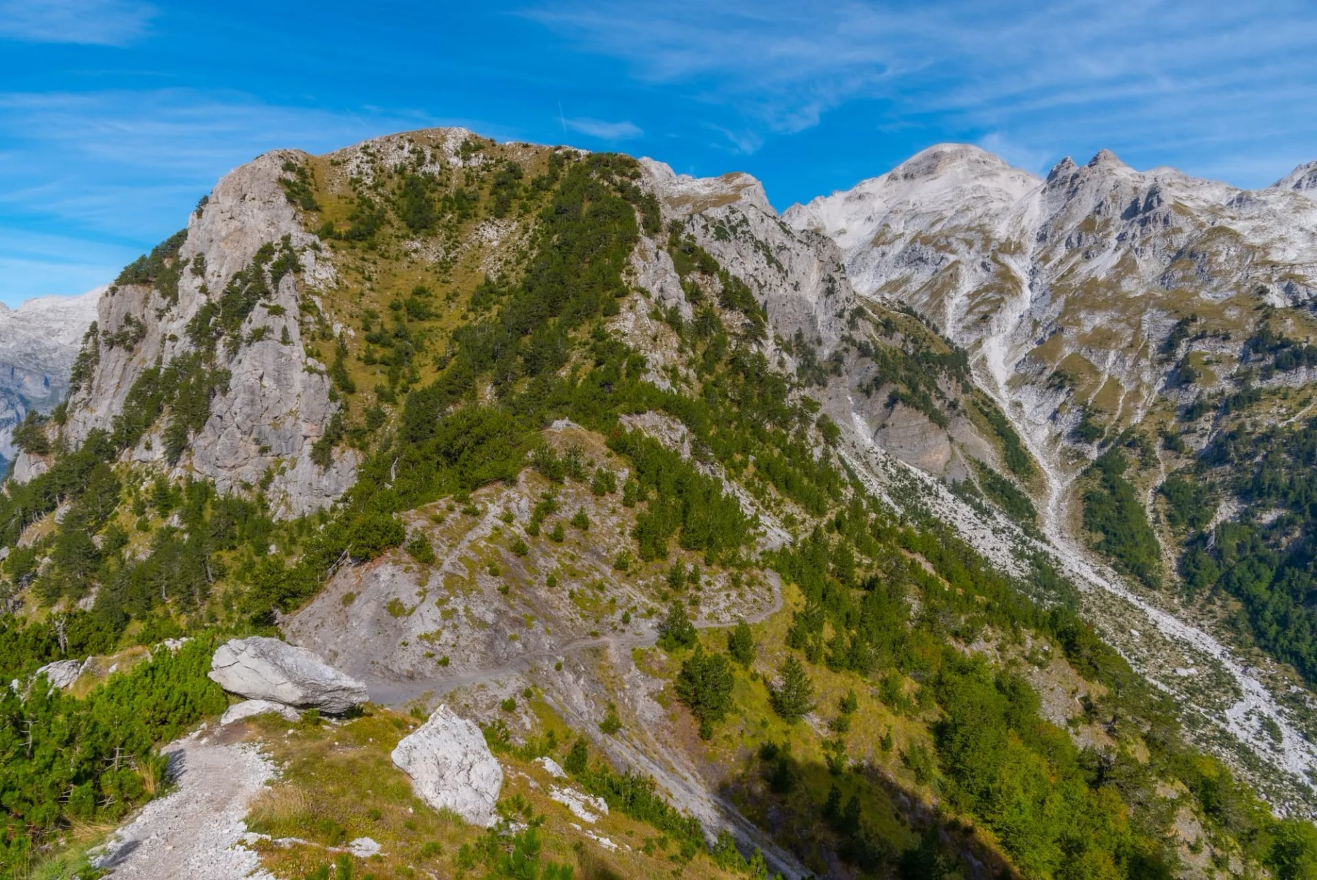
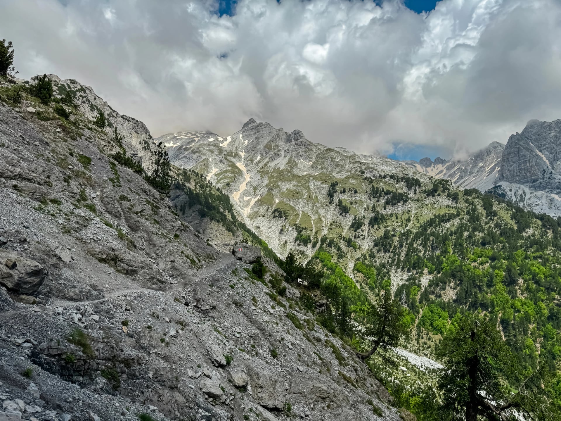
The trees end and the path zigzags up open limestone to the saddle. It is the steepest climb of the day.
3. Valbona Pass to Zef Rrgalla Café
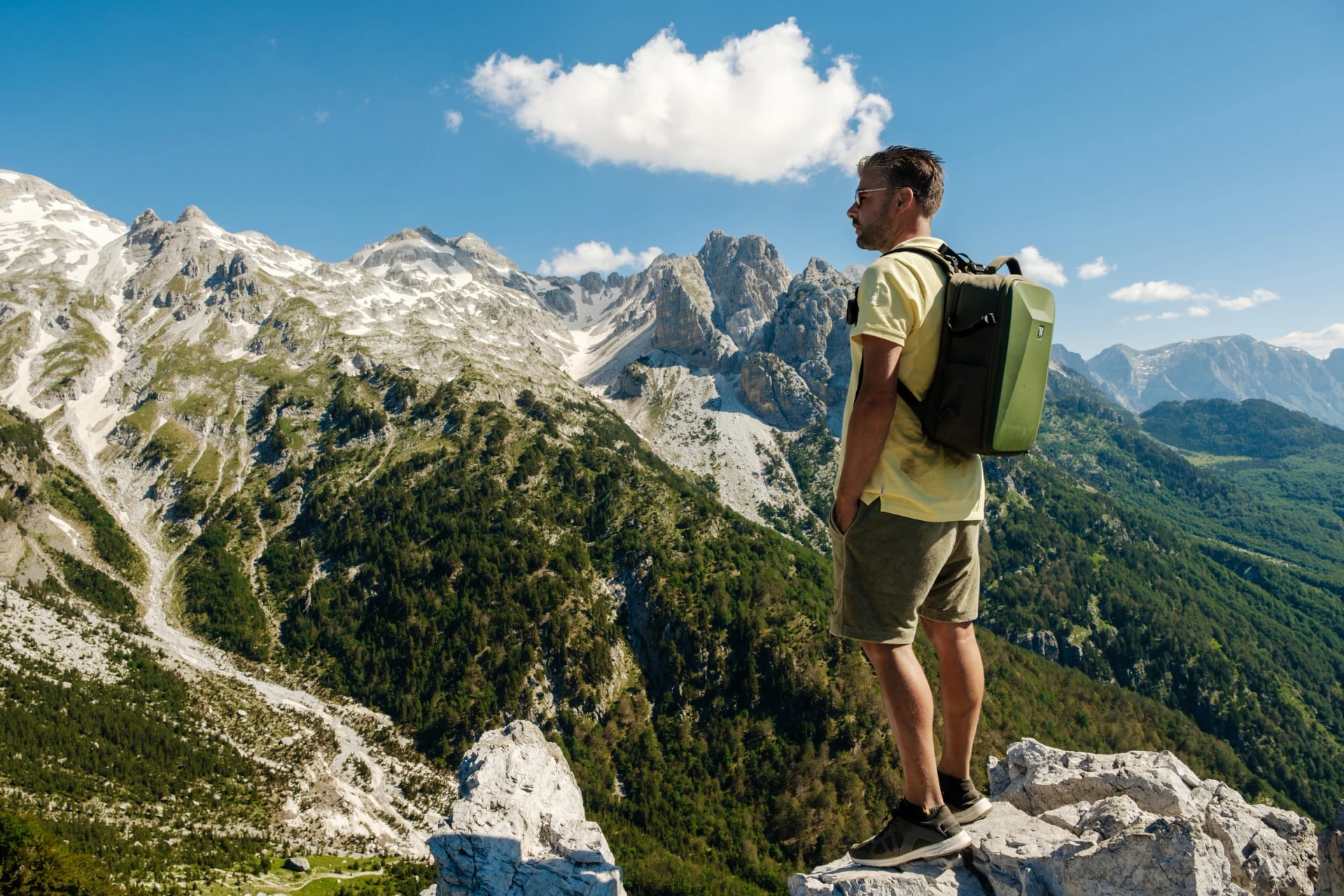
Distance: about 5 km from Rragam
Height: down to about 1,500 m
The descent into Theth starts on zigzags of loose stone down to Zef Rrgalla Café, a coffee hut with a spring beside it.
4. Zef Rrgalla Café to Gjelaj
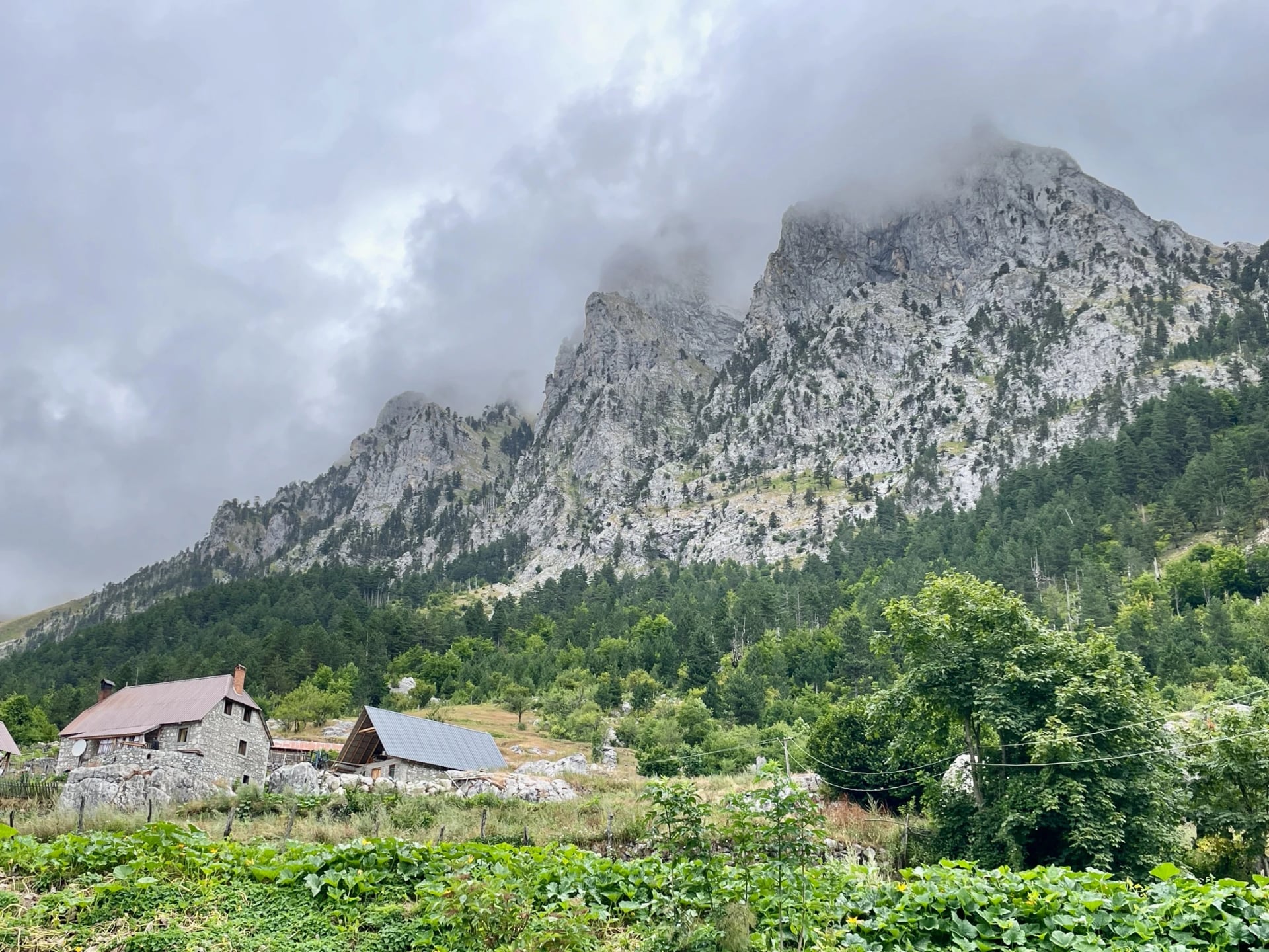
Distance: about 6.5 km from Rragam
Height: down to about 1,000 m
The path drops through old beech forest to the hamlet of Gjelaj, the first houses on the Theth side.
5. Gjelaj to Theth Church
Distance: about 10 km from Rragam
Height: down to about 750 m
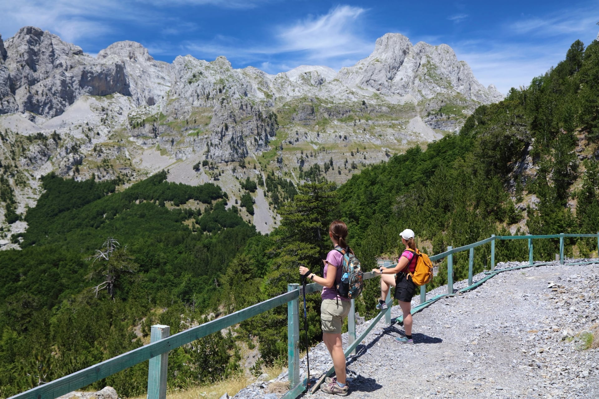
At Gjelaj the path meets a tractor track and follows it, over a footbridge, to the church in the centre of Theth. From the saddle, the whole descent drops about 1,000 m, first on loose stones and then through forest.
Valbona Pass
The Valbona Pass, Qafa e Valbonës in Albanian, is the saddle where the trail crosses the ridge between the two valleys, and at 1,795 m it's the high point of the day. It sits nearer the Valbona road-end than Theth: about 3.7 km above Rragam and 6.5 km above the Theth trailhead, the distance on the yellow sign by the road in Theth.
From Rragam, Valbona side | From Theth | |
Distance to the pass | about 3.7 km | about 6.5 km |
Climb | about 650 m | about 1,050 m |
Time up | 2.5 to 3.5 hours | about 3 hours |
Time back down | 3.5 to 4 hours, riverbed included | 2.5 to 3.5 hours |
Each side saves its steepest hour for the top. From Rragam the path climbs through beech forest to the café hut, then zigzags up open limestone with no shade after the trees. From Theth the climb is longer but more gradual, and the final stony stretch below the saddle is narrow, so expect to step aside for walkers coming down.
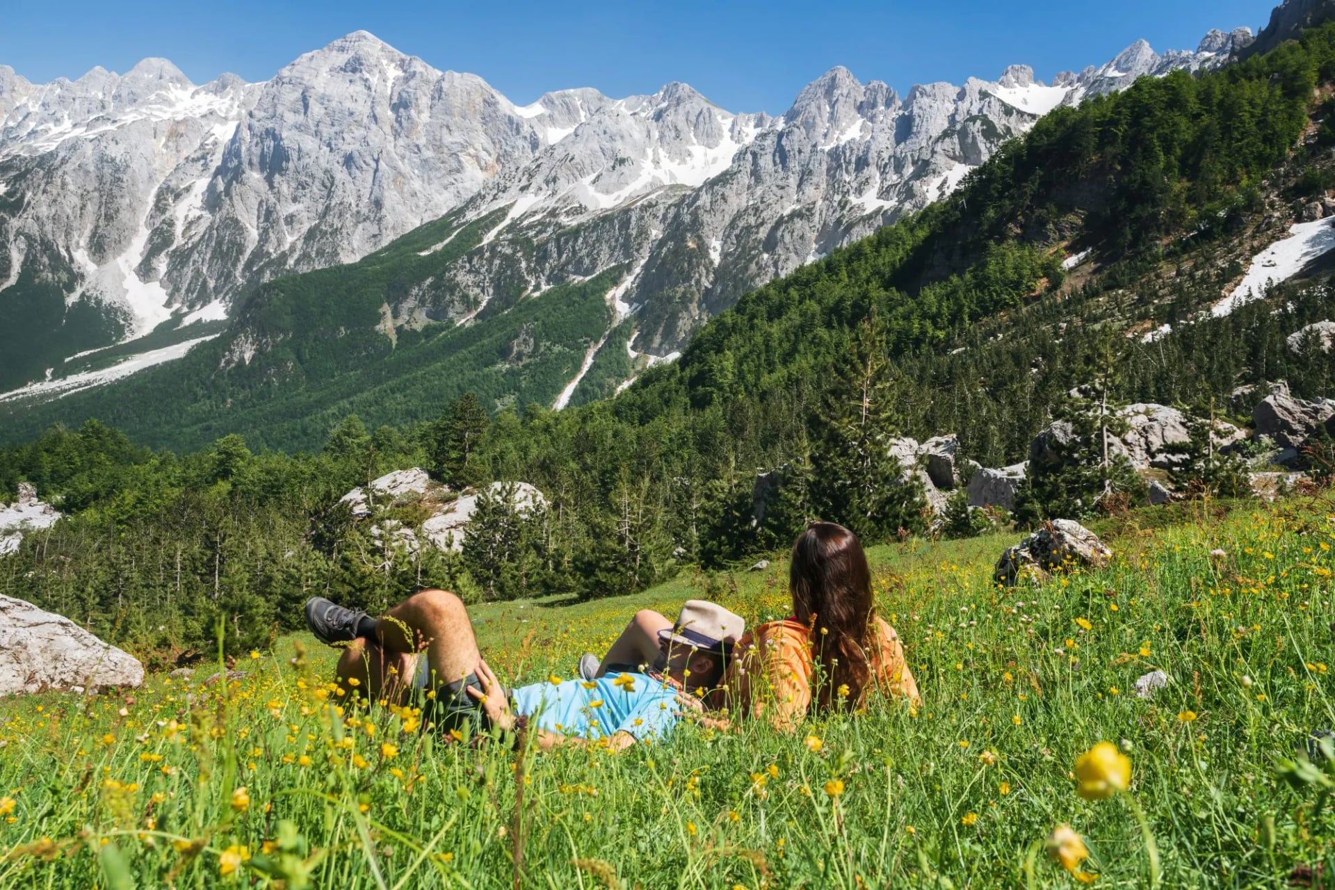
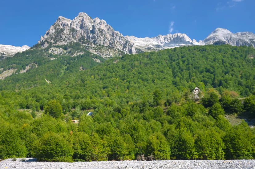
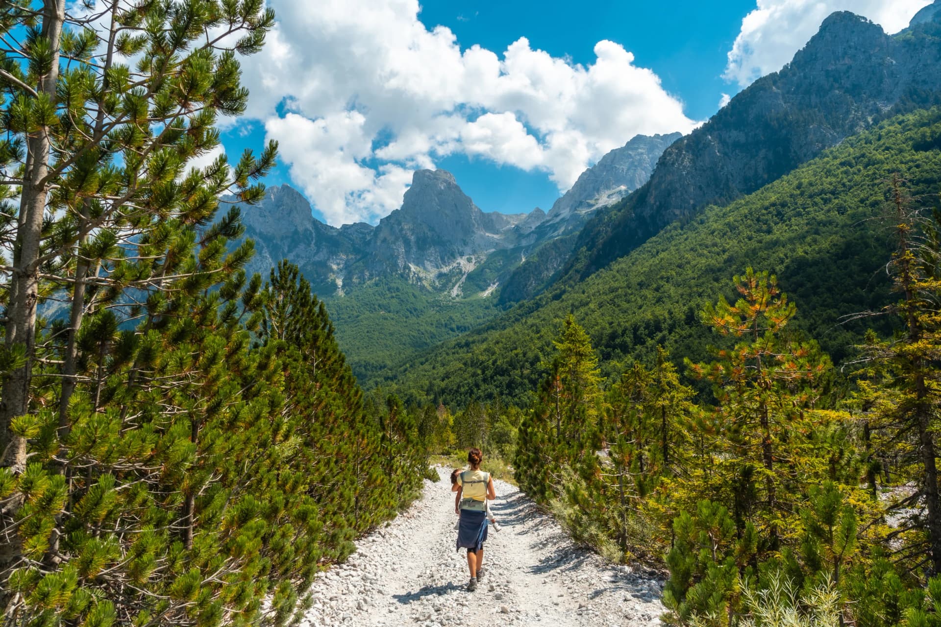
At the saddle, the whole Theth valley opens below you, with Maja Jezercë and the main ridge of the Albanian Alps in view. There's no hut, water or shade on top. A short, rocky scramble up the knoll above the saddle widens the view, though most walkers skip it and eat lunch where the path crosses.
The two café huts, Simoni Café on the Valbona side and Zef Rrgalla Café on the Theth side, sit 300 to 350 m below the saddle, and there's no water between them, so fill your bottle at the hut below you on the way up. The saddle is usually free of snow only from mid-June to October; the section on when the pass is open covers the late-spring risk.
There and Back in a Day
You don't have to cross to stand on the pass. From Theth, follow the signs for Valbonë past Gjelaj and come back the same way: a 6 to 8 hour day with a stop on top. It's the choice if you'd rather not move your bags, or if snow still lies on the Valbona side, and the café hut by the spring at about 1,500 m is a good turning point if the top is in cloud.
From the Valbona side it's the shorter climb but the longer return, as the riverbed walk to the car park comes at the end of the day. Ask your guesthouse for the 4×4 up to Rragam in the morning, and arrange the lift back before you set off, as taxis rarely wait at the car park.
Valbona to Theth or Theth to Valbona?
Both directions work, and no authority recommends one. The differences are worth knowing before you book the beds:
Valbona to Theth | Theth to Valbona | |
Climb | about 650 m from Rragam, steep early on | about 1,050 m, longer but gentler |
Descent | about 1,050 m into Theth | about 800 m, then riverbed to Rragam |
Hardest part | the open slopes below the saddle | the stony descent at the end of the day |
Where you finish | Theth, with more beds and places to eat | somewhere along the Valbona valley |
Usual for | walkers arriving on the Koman ferry | Peaks of the Balkans hikers, on stage one |
Walking from Theth, you finish more tired, further from your bed. That's why most walkers who arrive on the ferry cross from Valbona.
The Peaks of the Balkans loop walks it from Theth to Valbonë as its first stage, so most hikers on the long trail cross that way.
How Hard Is the Valbona Pass?
It's a long day rather than a technical one. There's no scrambling, but three things make it harder than the distance suggests:
The last climb is steep and open, with little shade in summer.
The loose switchbacks just below the saddle are where most people slow down, and walking poles help on both sides.
Mobile signal is patchy on the higher sections, so download an offline map before you set off.
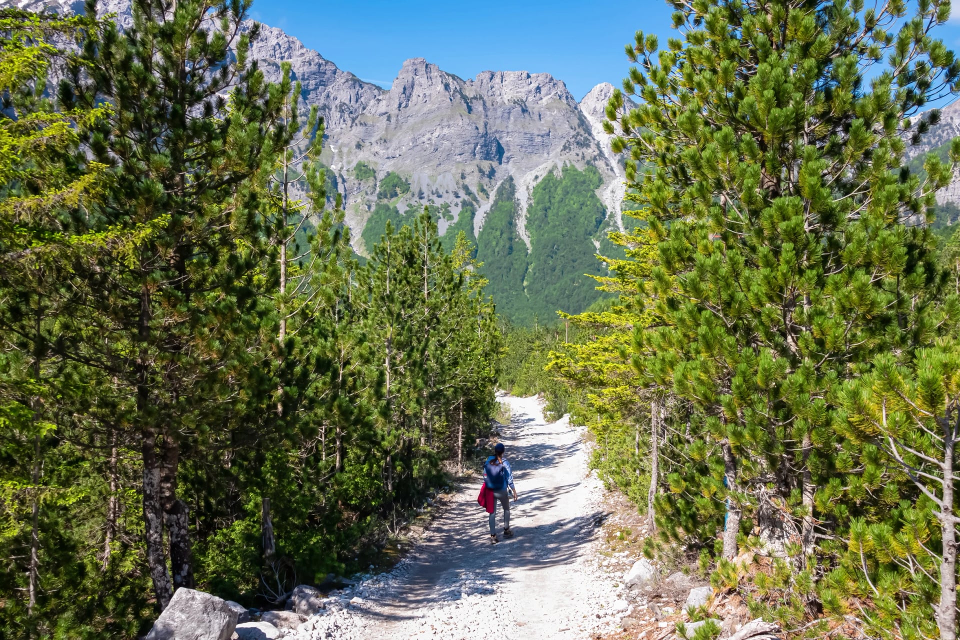
Fitness matters more than experience: you should be comfortable walking 6 to 8 hours with a day pack. Trail shoes with a good grip are enough in summer, though the limestone gets slippery in rain.
When the Pass Is Open
No authority publishes an opening date. In most years the pass is clear of snow from about mid-June, and the first snow comes in October. The Valbona side holds its snow longer, so a clear view from Theth can mislead.
In late May and early June, the final stretch below the saddle can hold snow and ice. In May 2022 a Swiss hiker died in a fall near the pass after the party left the usual line in the snow. If the top is still white, turn back or cross with a local guide rather than improvise a way down.
Before mid-June, ask your guesthouse on the far side about the snow; walkers coming the other way are the best source of news. In July and August, start early to cross the open slopes before the midday heat, and check the Theth forecast on yr.no the evening before.
Getting There by Ferry, Van and Minibus
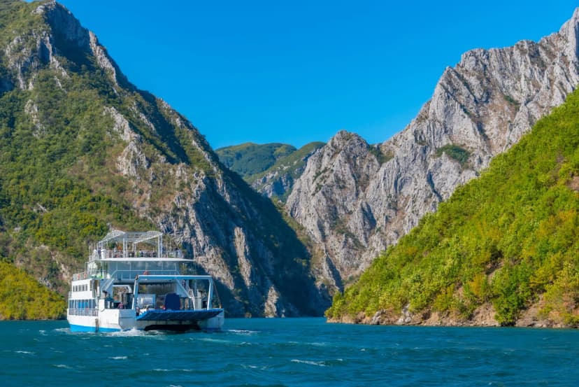
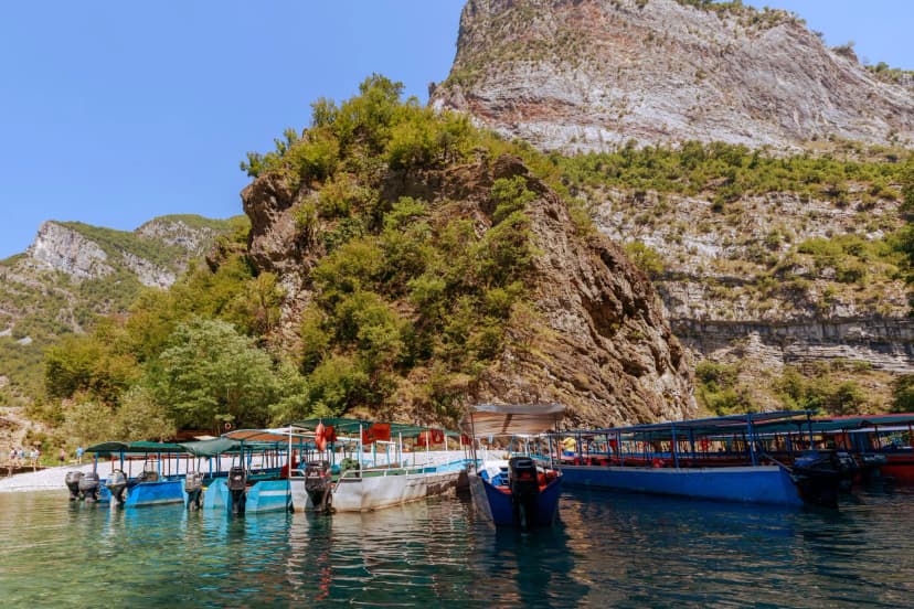
Most walkers reach Valbona by the Koman Lake ferry and leave Theth by minibus to Shkodër. The ferry day is the one to book ahead, as boats fill in July and August.
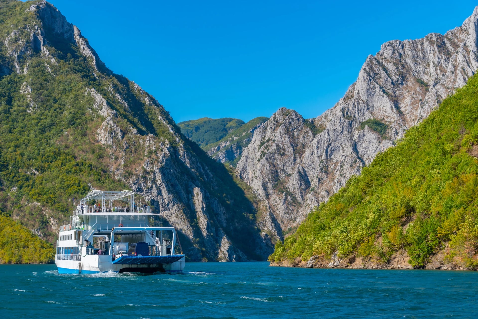
From Shkodër to Valbona, on the main operator's timetable:
Leg | Leaves | Takes |
Van, Shkodër to Koman | 06:30 to 07:00 | about 2 hours |
Ferry, Koman to Fierzë | 09:00 | about 2.5 hours |
Van, Fierzë to Valbona | 12:00 | about 1 hour |
That puts you in Valbona around 13:00. Going the other way, the van leaves Valbona at about 10:30 and the ferry leaves Fierzë at 13:00. The ferry runs daily from mid-April to early November, and on our tours we book the ferry seats and the vans for you.
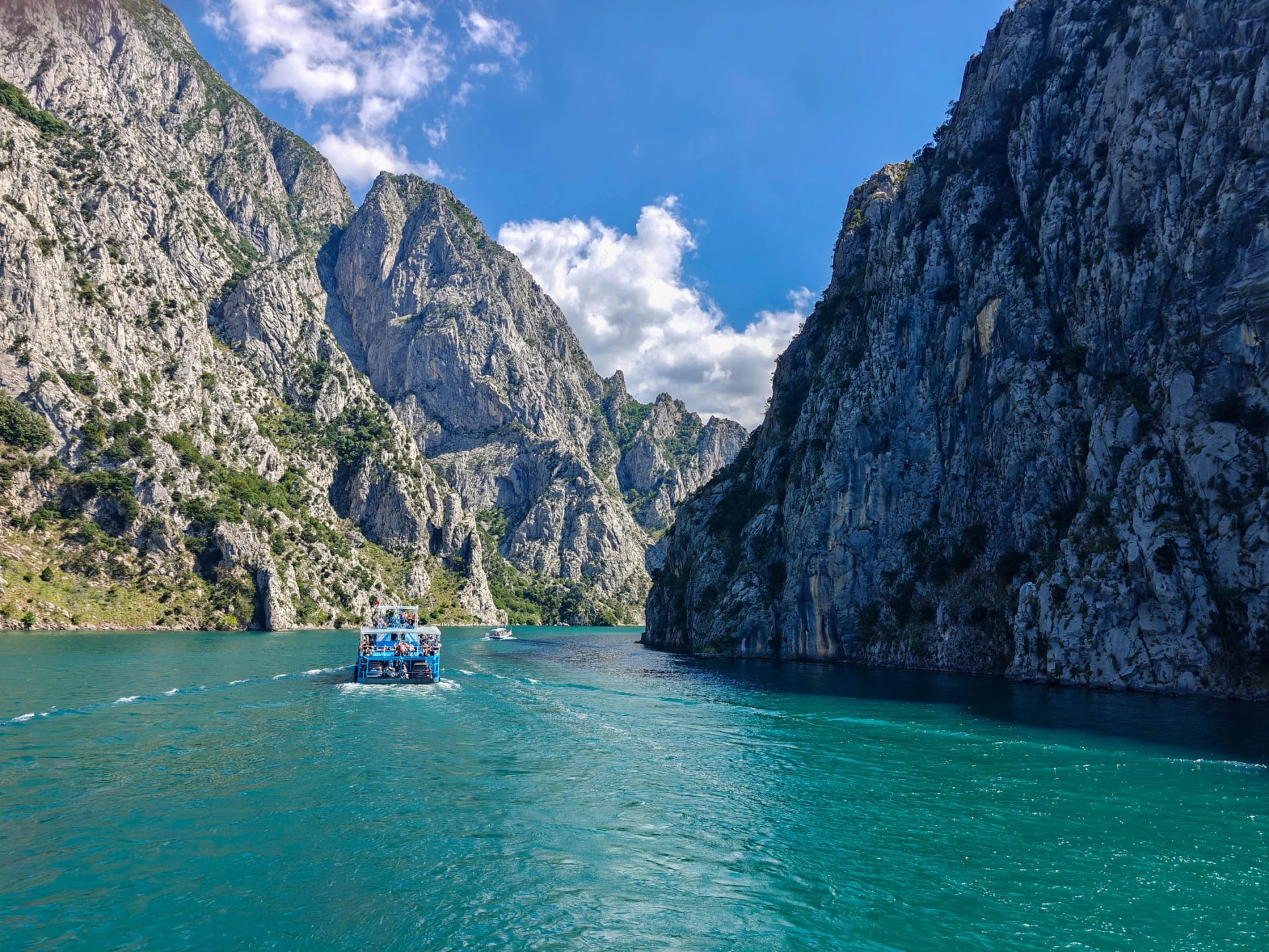
From Theth, minibuses run to Shkodër in the late morning and the afternoon, about two to two and a half hours on the paved road, and your guesthouse can book a seat. If you're driving, there's no quick road between the two valleys: leave the car in Shkodër, or take it on the car ferry, which has limited room.
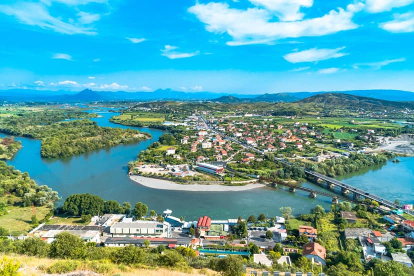
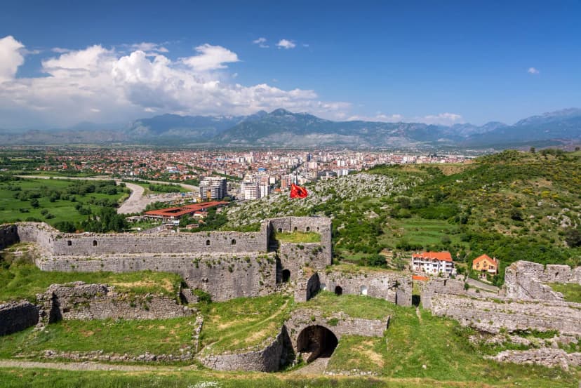
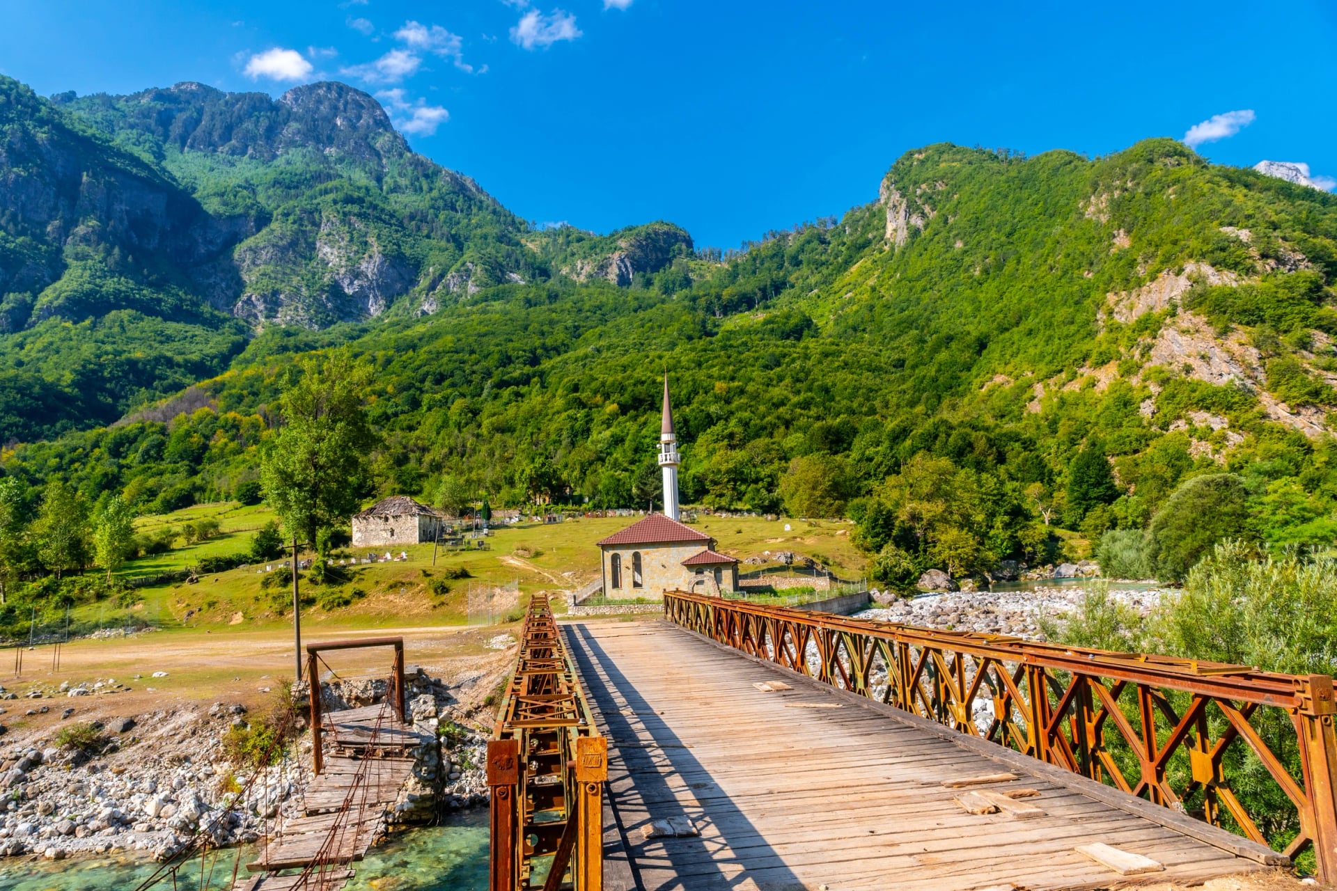
From Shkodër to Valbona, here's what you'll see on the way:
Luggage, Beds and Cash
Your Luggage
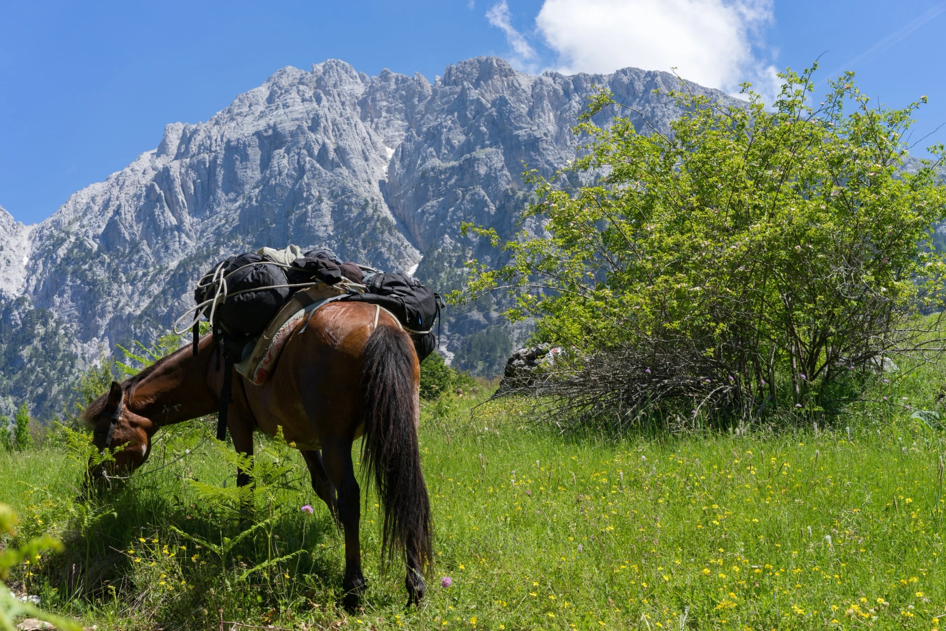
There's no road over the pass, so no van can move your bags on the same day. Most walkers carry everything in one pack, of 25 to 45 litres, and leave the rest in Shkodër, where many hostels store bags. The alternative is a packhorse: guesthouses in both valleys can arrange one, usually for three or four bags.
Where to Sleep
In Valbona, guesthouses line the road from Rragam down to the village centre, about 7 km away. The closer you sleep to Rragam, the shorter your day. Theth has more guesthouses, spread across the valley floor and up the slopes; check where yours is before you book, as some sit across the river or up a track.
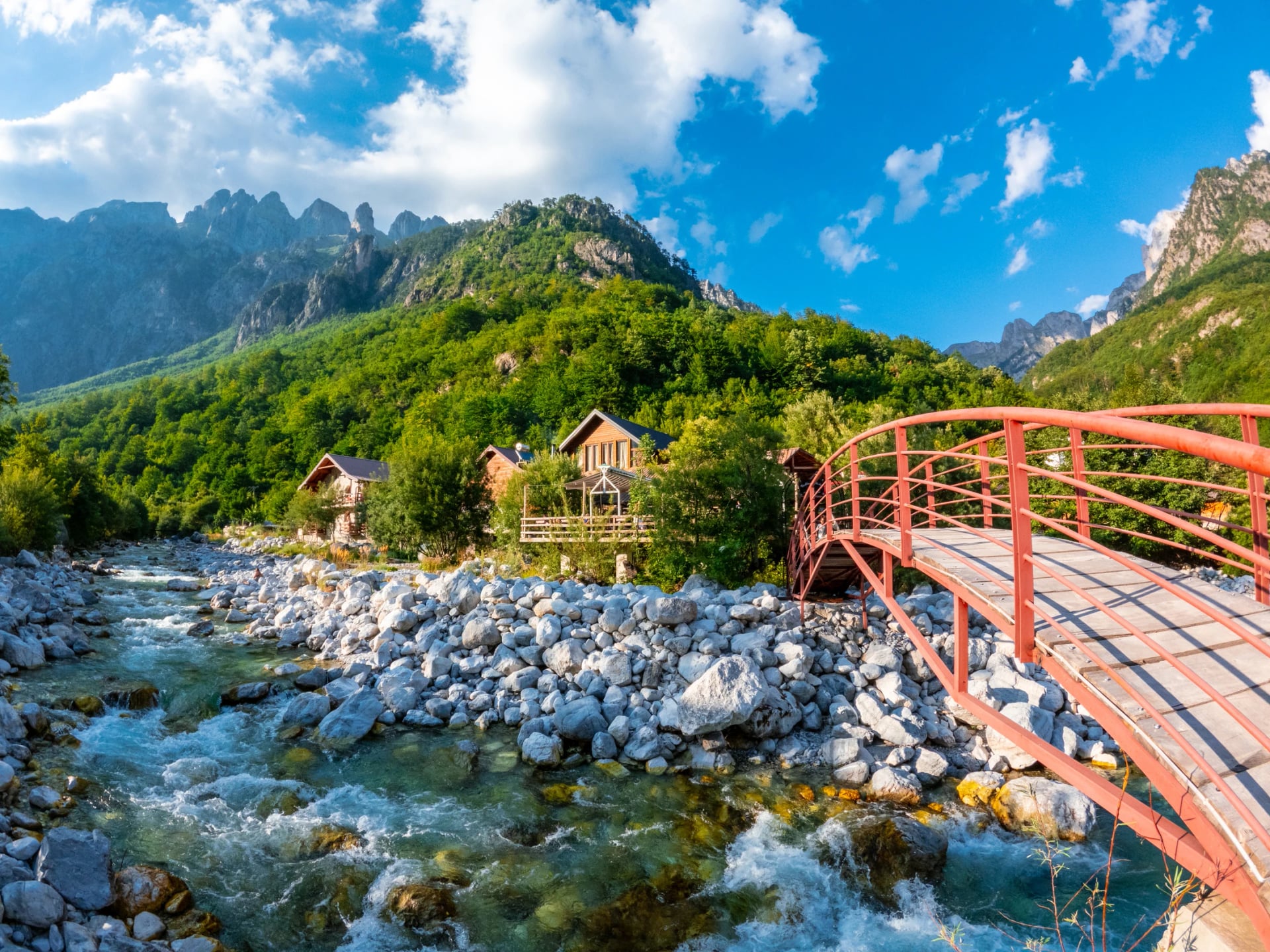
Most open from about May or June to October and close once snow shuts the road. In July and August, book a week or more ahead. Many walkers add a night in Theth for the Blue Eye and Grunas waterfall, which our Theth National Park hiking guide covers.
Cash
Everything on the trail is paid in cash, as are most vans and guesthouse dinners. There's no reliable cash machine in either valley, so bring euros or lek from Shkodër.
Pack List for the Crossing
A day pack of 25 to 45 litres, or a bigger one if you carry everything
At least 1.5 litres of water, refilled at the springs by the café huts
A packed lunch from your guesthouse
Walking poles for the loose switchbacks
A rain jacket and a warm layer for the saddle
Sun hat and sunscreen for the open slopes
Cash in euros or lek, and an offline map on your phone
Cross the Pass With Us
We arrange the Valbona to Theth crossing as a self-guided hike, either as a short trip built around the pass or with more time in both valleys.
Albanian Alps Hiking Tour
Route: Shkodër, the Koman ferry, the Valbona valley and Theth
Crossing day: about 11 km from Rragam, with 675 m up and 1,075 m down
Season: June to October
The Albanian Alps Hiking Tour books the beds, the Koman ferry and the vans, and gives you the route on your phone. It takes the 4×4 up to Rragam on the crossing day.
The Accursed Mountains Hiking Tour
Route: Shkodër, the Koman ferry, the Valbona valley and Theth
Extra walks: the Montenegrin border and a viewpoint above Valbonë
Season: June to September
The Accursed Mountains Hiking Tour adds more time in both valleys. It walks to the Montenegrin border and a viewpoint above Valbonë before the crossing, and to the Blue Eye from Theth after it.
Peaks of the Balkans Trail Highlights and Trek
Both Peaks of the Balkans tours cross the pass from Theth to Valbonë at the start of their walking. The Highlights tour loops back to Theth through Montenegro, and the full trek goes on into Kosovo and Montenegro.
Planning Your Crossing
Book the ferry, pick your direction and keep a spare day for rain, as the pass is no place to be in a storm. For a longer trek, our Peaks of the Balkans guide covers the full loop into Kosovo and Montenegro. If you'd rather have it all arranged, send us your dates and we'll reply with what's free for your crossing.
For the rest of the country, from Korab to the Riviera paths, see our guide to hiking in Albania. For the whole range, valley by valley and by the days you have, see our guide to hiking the Albanian Alps.
Frequently Asked Questions



Plan with a hiking expert
Free advice from a team that knows these routes inside out - real people, not a bot

HASSLE-FREE
We handle itineraries, accommodations, and anything else you prefer not to deal with, so you can enjoy a carefree hike.

BOOK WITH CONFIDENCE
We are a financially protected company, fully bonded and insured, keeping your money safe and allowing you to travel with confidence.

TRIED & TESTED ADVENTURES
Only the best hiking tours in Albania, cherry-picked by our team with an in-depth knowledge of the region.

UNBEATABLE SUPPORT
Our 24/7 customer support is where we show our passion, bringing you a better experience by making your well-being our number one priority.